231 Redwood Dr Westport, MA 02790
Estimated Value: $775,000 - $949,000
4
Beds
4
Baths
3,172
Sq Ft
$273/Sq Ft
Est. Value
About This Home
This home is located at 231 Redwood Dr, Westport, MA 02790 and is currently estimated at $867,136, approximately $273 per square foot. 231 Redwood Dr is a home with nearby schools including North End Elementary School, Talbot Innovation School, and B M C Durfee High School.
Ownership History
Date
Name
Owned For
Owner Type
Purchase Details
Closed on
Sep 25, 2003
Sold by
Louro Philip T
Bought by
Louro Philip T and Silva Stephanie
Current Estimated Value
Home Financials for this Owner
Home Financials are based on the most recent Mortgage that was taken out on this home.
Original Mortgage
$270,000
Outstanding Balance
$126,689
Interest Rate
6.29%
Estimated Equity
$740,447
Purchase Details
Closed on
Jul 2, 1992
Sold by
Smr Rt
Bought by
Franklin Design Assoc
Home Financials for this Owner
Home Financials are based on the most recent Mortgage that was taken out on this home.
Original Mortgage
$200,000
Interest Rate
8.49%
Mortgage Type
Purchase Money Mortgage
Create a Home Valuation Report for This Property
The Home Valuation Report is an in-depth analysis detailing your home's value as well as a comparison with similar homes in the area
Home Values in the Area
Average Home Value in this Area
Purchase History
| Date | Buyer | Sale Price | Title Company |
|---|---|---|---|
| Louro Philip T | -- | -- | |
| Franklin Design Assoc | $66,500 | -- |
Source: Public Records
Mortgage History
| Date | Status | Borrower | Loan Amount |
|---|---|---|---|
| Open | Franklin Design Assoc | $100,000 | |
| Open | Franklin Design Assoc | $270,000 | |
| Previous Owner | Franklin Design Assoc | $200,000 |
Source: Public Records
Tax History Compared to Growth
Tax History
| Year | Tax Paid | Tax Assessment Tax Assessment Total Assessment is a certain percentage of the fair market value that is determined by local assessors to be the total taxable value of land and additions on the property. | Land | Improvement |
|---|---|---|---|---|
| 2025 | $7,776 | $679,100 | $186,800 | $492,300 |
| 2024 | $7,294 | $634,800 | $179,600 | $455,200 |
| 2023 | $7,596 | $619,100 | $155,400 | $463,700 |
| 2022 | $6,769 | $536,400 | $145,300 | $391,100 |
| 2021 | $6,691 | $483,800 | $145,800 | $338,000 |
| 2020 | $6,692 | $463,100 | $146,100 | $317,000 |
| 2019 | $6,619 | $454,000 | $148,400 | $305,600 |
| 2018 | $6,396 | $437,500 | $148,400 | $289,100 |
| 2017 | $5,888 | $420,600 | $136,200 | $284,400 |
| 2016 | $5,526 | $405,400 | $136,200 | $269,200 |
| 2015 | $5,372 | $410,700 | $136,200 | $274,500 |
| 2014 | $4,934 | $392,200 | $127,000 | $265,200 |
Source: Public Records
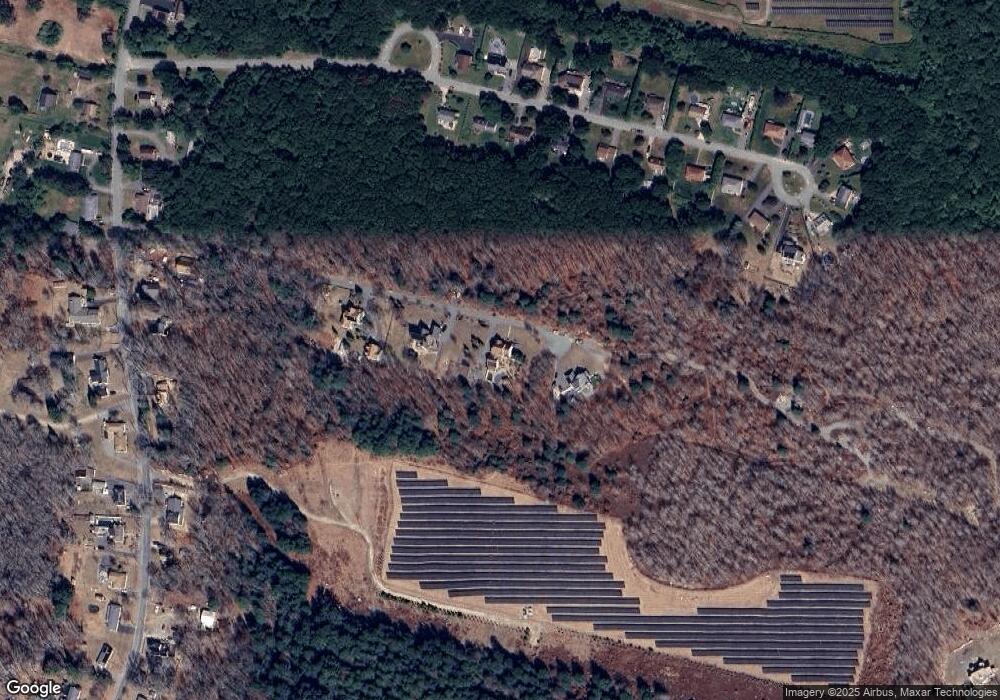
Map
Nearby Homes
- 128 Old Bedford Rd
- 3 Diane Way
- 1276 Old Fall River Rd
- 33 William St
- 125 Angell St
- 6 Beaulieu St
- 25 Beaulieu St
- 34 Alsop St
- 85 Reney St
- 89 Lafayette St
- 219 Earle St Unit 3
- 217 Earle St Unit 2
- 215 Earle St Unit 1
- 172 Earle St
- 9 Register Ave
- 37 Eaton St
- 309 Yellow Hill Rd
- 44 Fenmore St
- 0 Rich St
- 168 Windsor St
- 263 Redwood Dr
- 983 Blossom Rd
- 237 Blossom Hill Dr
- 261 Blossom Hill Dr
- 289 Blossom Hill Dr
- 215 Blossom Hill Dr
- 193 Blossom Hill Dr
- 193 Blossom Hill Dr Unit 1
- 193 Blossom Hill Dr
- 315 Blossom Hill Dr
- 341 Blossom Hill Dr
- 214 Blossom Hill Rd
- 260 Blossom Hill Dr
- 236 Blossom Hill Dr
- 284 Blossom Hill Dr
- 363 Blossom Hill Dr
- 385 Blossom Hill Dr
- 308 Blossom Hill Dr
- 192 Blossom Hill Dr
- 393 Blossom Hill Dr