232 Healys Rd Locust Hill, VA 23092
Estimated Value: $160,159 - $283,000
2
Beds
1
Bath
1,372
Sq Ft
$169/Sq Ft
Est. Value
About This Home
This home is located at 232 Healys Rd, Locust Hill, VA 23092 and is currently estimated at $231,790, approximately $168 per square foot. 232 Healys Rd is a home located in Middlesex County with nearby schools including Middlesex Elementary School, St. Clare Walker Middle School, and Middlesex High School.
Ownership History
Date
Name
Owned For
Owner Type
Purchase Details
Closed on
Mar 13, 2021
Sold by
Gregory Lori Ann and Gregory Lori A
Bought by
Bakunas James A and Muller Patricia A
Current Estimated Value
Purchase Details
Closed on
Apr 21, 2006
Sold by
Bakunas James A
Bought by
Gregory Dallas C
Home Financials for this Owner
Home Financials are based on the most recent Mortgage that was taken out on this home.
Original Mortgage
$118,000
Interest Rate
6.37%
Mortgage Type
New Conventional
Create a Home Valuation Report for This Property
The Home Valuation Report is an in-depth analysis detailing your home's value as well as a comparison with similar homes in the area
Home Values in the Area
Average Home Value in this Area
Purchase History
| Date | Buyer | Sale Price | Title Company |
|---|---|---|---|
| Bakunas James A | $74,721 | Attorney | |
| Gregory Dallas C | $169,000 | -- |
Source: Public Records
Mortgage History
| Date | Status | Borrower | Loan Amount |
|---|---|---|---|
| Previous Owner | Gregory Dallas C | $118,000 |
Source: Public Records
Tax History Compared to Growth
Tax History
| Year | Tax Paid | Tax Assessment Tax Assessment Total Assessment is a certain percentage of the fair market value that is determined by local assessors to be the total taxable value of land and additions on the property. | Land | Improvement |
|---|---|---|---|---|
| 2025 | $639 | $104,700 | $55,700 | $49,000 |
| 2024 | $639 | $104,700 | $55,700 | $49,000 |
| 2023 | $639 | $104,700 | $55,700 | $49,000 |
| 2022 | $639 | $104,700 | $55,700 | $49,000 |
| 2021 | $573 | $92,400 | $48,200 | $44,200 |
| 2020 | $573 | $92,400 | $48,200 | $44,200 |
| 2019 | $573 | $92,400 | $48,200 | $44,200 |
| 2018 | $517 | $92,400 | $48,200 | $44,200 |
| 2017 | $517 | $92,400 | $48,200 | $44,200 |
| 2016 | $513 | $96,700 | $49,700 | $47,000 |
| 2015 | -- | $0 | $0 | $0 |
| 2014 | -- | $0 | $0 | $0 |
| 2013 | -- | $0 | $0 | $0 |
Source: Public Records
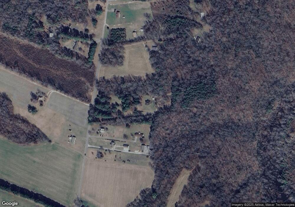
Map
Nearby Homes
- 4523 Stormont Rd
- 100 Point Anne Dr
- 36B 1 A2 Point Anne Dr
- 000 Point Anne Dr
- 722 Point Anne Dr
- 37A-4-10 Coach Point
- 22 Hartfield Green
- 000 Whiting Creek Rd
- TBD Landing West Way
- Lot 21 Landing West Way
- 563 Coachpoint Rd
- 563 Coach Point
- 335 Pineview Dr
- 37A 4 9 Coachpoint Rd
- 12405 Cedar Trail
- 12401 Cedar Trail
- 307 Highgate Dr
- 708 Queens Point Dr
- 137 Poplar Trail
- 40 Poplar Dr