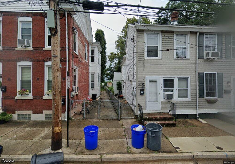
232 Wood St Bristol, PA 19007
Estimated Value: $241,484 - $324,000
--
Bed
1
Bath
1,430
Sq Ft
$200/Sq Ft
Est. Value
About This Home
This home is located at 232 Wood St, Bristol, PA 19007 and is currently estimated at $285,871, approximately $199 per square foot. 232 Wood St is a home located in Bucks County with nearby schools including Snyder-Girotti Elementary School, Bristol High School, and Doane Academy.
Ownership History
Date
Name
Owned For
Owner Type
Purchase Details
Closed on
Jun 17, 2004
Sold by
Schlupp Brian M
Bought by
Schlupp Brian M and Schlupp Ronald F
Current Estimated Value
Purchase Details
Closed on
Nov 29, 2002
Sold by
Bethea Susan
Bought by
Schlupp Brian M
Purchase Details
Closed on
Aug 6, 1997
Sold by
Reif Lawrence Asa and Reif Susan Lee
Bought by
Bethea Susan
Home Financials for this Owner
Home Financials are based on the most recent Mortgage that was taken out on this home.
Original Mortgage
$38,640
Interest Rate
7.56%
Create a Home Valuation Report for This Property
The Home Valuation Report is an in-depth analysis detailing your home's value as well as a comparison with similar homes in the area
Home Values in the Area
Average Home Value in this Area
Purchase History
| Date | Buyer | Sale Price | Title Company |
|---|---|---|---|
| Schlupp Brian M | -- | -- | |
| Schlupp Brian M | $40,000 | -- | |
| Bethea Susan | -- | -- |
Source: Public Records
Mortgage History
| Date | Status | Borrower | Loan Amount |
|---|---|---|---|
| Previous Owner | Bethea Susan | $38,640 |
Source: Public Records
Tax History Compared to Growth
Tax History
| Year | Tax Paid | Tax Assessment Tax Assessment Total Assessment is a certain percentage of the fair market value that is determined by local assessors to be the total taxable value of land and additions on the property. | Land | Improvement |
|---|---|---|---|---|
| 2025 | $2,608 | $11,200 | $1,800 | $9,400 |
| 2024 | $2,608 | $11,200 | $1,800 | $9,400 |
| 2023 | $2,585 | $11,200 | $1,800 | $9,400 |
| 2022 | $2,585 | $11,200 | $1,800 | $9,400 |
| 2021 | $2,585 | $11,200 | $1,800 | $9,400 |
| 2020 | $2,658 | $11,200 | $1,800 | $9,400 |
| 2019 | $4,619 | $11,200 | $1,800 | $9,400 |
| 2018 | $2,647 | $11,200 | $1,800 | $9,400 |
| 2017 | $2,633 | $11,200 | $1,800 | $9,400 |
| 2016 | $2,633 | $11,200 | $1,800 | $9,400 |
| 2015 | -- | $11,200 | $1,800 | $9,400 |
| 2014 | -- | $11,200 | $1,800 | $9,400 |
Source: Public Records
Map
Nearby Homes
- 333 Walnut St
- 106 Mill St
- 2 Canals End Rd Unit 305
- 446 Pond St
- 224 Buckley St
- 523 Swain St
- 608 Clymer St
- 612 Pond St
- 637 Spruce St
- 566 Swain St
- 209 Dorrance St
- 566 Linden St
- 225 Washington St
- 348 Jefferson Ave
- 418 Jefferson Ave Unit 4
- 418 Jefferson Ave Unit 10
- 335 Jefferson Ave
- 905 Garden St
- 243 Monroe St
- 900 Tower Rd