Estimated Value: $314,000 - $506,321
3
Beds
2
Baths
1,986
Sq Ft
$216/Sq Ft
Est. Value
About This Home
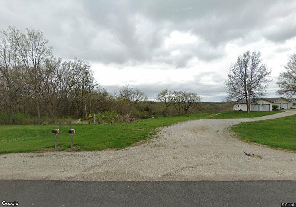
This home is located at 2321 Highway 5, Albia, IA 52531 and is currently estimated at $428,774, approximately $215 per square foot. 2321 Highway 5 is a home located in Monroe County with nearby schools including Kendall Elementary School, Grant Center, and Lincoln Center.
Create a Home Valuation Report for This Property
The Home Valuation Report is an in-depth analysis detailing your home's value as well as a comparison with similar homes in the area
Home Values in the Area
Average Home Value in this Area
Tax History Compared to Growth
Tax History
| Year | Tax Paid | Tax Assessment Tax Assessment Total Assessment is a certain percentage of the fair market value that is determined by local assessors to be the total taxable value of land and additions on the property. | Land | Improvement |
|---|---|---|---|---|
| 2024 | $3,602 | $281,360 | $10,220 | $271,140 |
| 2023 | $3,460 | $281,360 | $10,220 | $271,140 |
| 2022 | $3,518 | $226,750 | $7,960 | $218,790 |
| 2021 | $3,230 | $226,750 | $7,960 | $218,790 |
| 2020 | $3,562 | $213,550 | $21,170 | $192,380 |
| 2019 | $3,592 | $213,550 | $21,170 | $192,380 |
| 2018 | $3,592 | $208,530 | $24,680 | $183,850 |
| 2017 | $3,544 | $208,530 | $24,680 | $183,850 |
| 2016 | $3,424 | $197,523 | $0 | $0 |
| 2015 | $3,296 | $190,961 | $0 | $0 |
| 2014 | $3,296 | $190,961 | $0 | $0 |
Source: Public Records
Map
Nearby Homes
- 0 652nd Ave Unit NOC6333320
- 6501 260th St
- 0000 260 St
- 6430 U S 34
- 1600 S Main St
- 6424 Highway 34
- 6430 Highway 34
- 6424 U S 34
- 0 Highway 34 E Unit NOC6333261
- 18 12th Ave W
- 45 11th Ave W
- 311 S D St
- 320 S 2nd St
- 205th Trail
- 704 4th Ave E
- 516 S 11th St
- 418 S 11th St
- 216 Washington Ave W
- 0 189th St Unit NOC6332320
- 0 189th St Unit NOC6330612