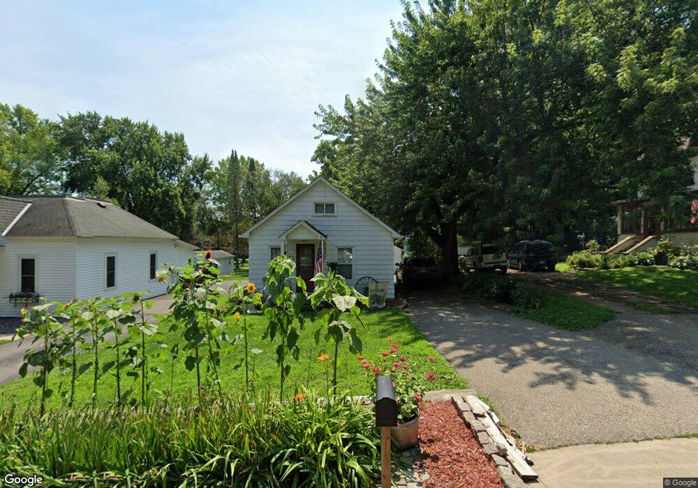
233 Bridge Ave W Delano, MN 55328
Estimated Value: $186,000 - $212,000
1
Bed
1
Bath
700
Sq Ft
$281/Sq Ft
Est. Value
About This Home
This home is located at 233 Bridge Ave W, Delano, MN 55328 and is currently estimated at $196,810, approximately $281 per square foot. 233 Bridge Ave W is a home located in Wright County with nearby schools including Delano Elementary School, Delano Middle School, and Delano Senior High School.
Ownership History
Date
Name
Owned For
Owner Type
Purchase Details
Closed on
Jul 12, 2022
Sold by
Anderson Renee
Bought by
Bernick Lori
Current Estimated Value
Purchase Details
Closed on
Sep 20, 2016
Sold by
Radtke Scott Scott
Bought by
Anderson Renee Renee
Purchase Details
Closed on
Jun 9, 2016
Sold by
Schreder Douglas Douglas
Bought by
Radtke Scott Scott
Home Financials for this Owner
Home Financials are based on the most recent Mortgage that was taken out on this home.
Original Mortgage
$51,194
Interest Rate
3.6%
Create a Home Valuation Report for This Property
The Home Valuation Report is an in-depth analysis detailing your home's value as well as a comparison with similar homes in the area
Home Values in the Area
Average Home Value in this Area
Purchase History
| Date | Buyer | Sale Price | Title Company |
|---|---|---|---|
| Bernick Lori | $175,000 | -- | |
| Anderson Renee Renee | $93,000 | -- | |
| Radtke Scott Scott | $78,000 | -- |
Source: Public Records
Mortgage History
| Date | Status | Borrower | Loan Amount |
|---|---|---|---|
| Previous Owner | Radtke Scott Scott | $51,194 |
Source: Public Records
Tax History Compared to Growth
Tax History
| Year | Tax Paid | Tax Assessment Tax Assessment Total Assessment is a certain percentage of the fair market value that is determined by local assessors to be the total taxable value of land and additions on the property. | Land | Improvement |
|---|---|---|---|---|
| 2025 | $1,724 | $175,600 | $44,000 | $131,600 |
| 2024 | $1,620 | $169,600 | $46,000 | $123,600 |
| 2023 | $1,520 | $159,500 | $46,000 | $113,500 |
| 2022 | $1,612 | $141,100 | $45,000 | $96,100 |
| 2021 | $1,492 | $111,200 | $30,000 | $81,200 |
| 2020 | $1,506 | $101,800 | $30,000 | $71,800 |
| 2019 | $1,484 | $98,200 | $0 | $0 |
| 2018 | $1,310 | $93,800 | $0 | $0 |
| 2017 | $848 | $82,200 | $0 | $0 |
| 2016 | $834 | $0 | $0 | $0 |
| 2015 | $646 | $0 | $0 | $0 |
| 2014 | -- | $0 | $0 | $0 |
Source: Public Records
Map
Nearby Homes
- 636 Ridgewood Ln
- 87 Maple Ave N
- 120 2nd St N
- 914 Buffalo St
- 316 2nd St N
- 252 3rd St SW
- 258 3rd St SW
- 249 3rd St SW
- 104 Hummingbird Way
- 301 3rd St SW
- 396 Franklin Ave W
- 242 Lori Ln
- 812 Watertown Ave
- 872 Watertown Ave
- 4115 County Road 30 SE
- 834 Goldenrod Ct
- 428 Saint Peter Ave E
- xxxx Lincoln St
- 568 Rolling Hills Ln
- 253 Overlook Ct
- 229 Bridge Ave W
- 225 Bridge Ave W
- 237 Bridge Ave W
- 237 237 Bridge-Avenue-w
- 221 Bridge Ave W
- 228 Bridge Ave W
- 220 Bridge Ave W
- 239 Bridge Ave W
- 243 243 Bridge-Avenue-w
- 211 Bridge Ave W
- 243 Bridge Ave W
- 305 Buffalo St
- 237 Buffalo St
- 205 Bridge Ave W
- 228 Buffalo St
- 201 Bridge Ave W
- 309 Buffalo St
- 220 Buffalo St
- 232 Buffalo St
- 300 Buffalo St