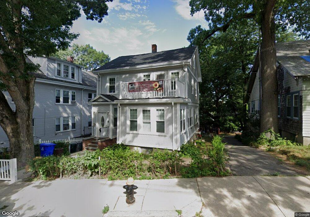
233 Kittredge St Roslindale, MA 02131
Roslindale NeighborhoodEstimated Value: $716,000 - $760,000
3
Beds
1
Bath
1,519
Sq Ft
$484/Sq Ft
Est. Value
About This Home
This home is located at 233 Kittredge St, Roslindale, MA 02131 and is currently estimated at $734,812, approximately $483 per square foot. 233 Kittredge St is a home located in Suffolk County with nearby schools including Brooke Charter School Roslindale, Sacred Heart STEM School, and St. Clare High School.
Ownership History
Date
Name
Owned For
Owner Type
Purchase Details
Closed on
Aug 18, 2009
Sold by
Muzyka Yaroslav and Muzyka Maria
Bought by
Skerrett Joanne
Current Estimated Value
Home Financials for this Owner
Home Financials are based on the most recent Mortgage that was taken out on this home.
Original Mortgage
$326,968
Outstanding Balance
$214,810
Interest Rate
5.36%
Mortgage Type
Purchase Money Mortgage
Estimated Equity
$520,002
Create a Home Valuation Report for This Property
The Home Valuation Report is an in-depth analysis detailing your home's value as well as a comparison with similar homes in the area
Home Values in the Area
Average Home Value in this Area
Purchase History
| Date | Buyer | Sale Price | Title Company |
|---|---|---|---|
| Skerrett Joanne | $333,000 | -- |
Source: Public Records
Mortgage History
| Date | Status | Borrower | Loan Amount |
|---|---|---|---|
| Open | Skerrett Joanne | $326,968 |
Source: Public Records
Tax History Compared to Growth
Tax History
| Year | Tax Paid | Tax Assessment Tax Assessment Total Assessment is a certain percentage of the fair market value that is determined by local assessors to be the total taxable value of land and additions on the property. | Land | Improvement |
|---|---|---|---|---|
| 2025 | $7,320 | $632,100 | $222,100 | $410,000 |
| 2024 | $6,713 | $615,900 | $216,100 | $399,800 |
| 2023 | $6,180 | $575,400 | $201,900 | $373,500 |
| 2022 | $5,798 | $532,900 | $187,000 | $345,900 |
| 2021 | $5,292 | $496,000 | $179,800 | $316,200 |
| 2020 | $5,121 | $484,900 | $174,200 | $310,700 |
| 2019 | $4,866 | $461,700 | $147,900 | $313,800 |
| 2018 | $4,607 | $439,600 | $147,900 | $291,700 |
| 2017 | $4,394 | $414,900 | $147,900 | $267,000 |
| 2016 | $4,187 | $380,600 | $147,900 | $232,700 |
| 2015 | $4,149 | $342,600 | $136,000 | $206,600 |
| 2014 | $3,914 | $311,100 | $136,000 | $175,100 |
Source: Public Records
Map
Nearby Homes
- 5 7 Hemman St
- 295 Kittredge St
- 69 Metropolitan Ave
- 55 Metropolitan Ave
- 124 Glendower Rd Unit 2
- 142 Metropolitan Ave Unit A
- 89 Glendower Rd
- 34 Averton St
- 0 Averton St
- 75 Glendower Rd
- 276 Cornell St
- 142 Birch St
- 142 Birch St Unit 1
- 142 Birch St Unit 2
- 67 Hautevale St
- 25 Crandall St
- 112 Roslindale Ave Unit 2
- 80 Roslindale Ave Unit 3
- 250 Poplar St Unit 1
- 415 Poplar St
- 233 Kittredge St
- 231 Kittredge St
- 235 Kittredge St
- 229 Kittredge St
- 100 Wellsmere Rd Unit 102
- 98 Wellsmere Rd
- 96 Wellsmere Rd
- 98 Wellsmere Rd Unit 98-2
- 96 Wellsmere Rd Unit 1
- 98 Wellsmere Rd Unit 1
- 96 Wellsmere Rd Unit 96
- 196 Kittredge St
- 29 Denton Terrace
- 192 Kittredge St
- 225 Kittredge St
- 237 Kittredge St Unit 239
- 27 Denton Terrace
- 14 Wellsmere Park
- 18 Wellsmere Park
- 10 Wellsmere Park