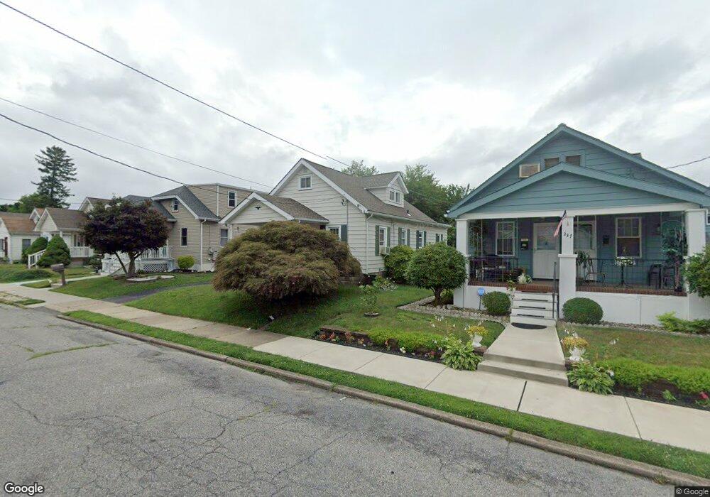
233 Osborne Ave Morrisville, PA 19067
Estimated Value: $314,000 - $343,797
3
Beds
1
Bath
1,368
Sq Ft
$240/Sq Ft
Est. Value
About This Home
This home is located at 233 Osborne Ave, Morrisville, PA 19067 and is currently estimated at $328,199, approximately $239 per square foot. 233 Osborne Ave is a home located in Bucks County with nearby schools including Grandview Elementary School, Morrisville High School, and Foundation Academy Charter School.
Ownership History
Date
Name
Owned For
Owner Type
Purchase Details
Closed on
Oct 24, 2011
Sold by
Estate Of Ralph G Conturso and Conturso Michael D
Bought by
Diaz Melissa
Current Estimated Value
Home Financials for this Owner
Home Financials are based on the most recent Mortgage that was taken out on this home.
Original Mortgage
$131,577
Outstanding Balance
$91,029
Interest Rate
4.4%
Mortgage Type
FHA
Estimated Equity
$237,170
Purchase Details
Closed on
May 17, 1995
Sold by
Conturso Ralph G and Conturso Mary Monica
Bought by
Conturso Ralph G
Home Financials for this Owner
Home Financials are based on the most recent Mortgage that was taken out on this home.
Original Mortgage
$55,000
Interest Rate
6.75%
Create a Home Valuation Report for This Property
The Home Valuation Report is an in-depth analysis detailing your home's value as well as a comparison with similar homes in the area
Home Values in the Area
Average Home Value in this Area
Purchase History
| Date | Buyer | Sale Price | Title Company |
|---|---|---|---|
| Diaz Melissa | $135,000 | None Available | |
| Conturso Ralph G | $52,000 | -- |
Source: Public Records
Mortgage History
| Date | Status | Borrower | Loan Amount |
|---|---|---|---|
| Open | Diaz Melissa | $131,577 | |
| Previous Owner | Conturso Ralph G | $55,000 |
Source: Public Records
Tax History Compared to Growth
Tax History
| Year | Tax Paid | Tax Assessment Tax Assessment Total Assessment is a certain percentage of the fair market value that is determined by local assessors to be the total taxable value of land and additions on the property. | Land | Improvement |
|---|---|---|---|---|
| 2025 | $5,151 | $16,000 | $3,280 | $12,720 |
| 2024 | $5,151 | $16,000 | $3,280 | $12,720 |
| 2023 | $5,104 | $16,000 | $3,280 | $12,720 |
| 2022 | $4,992 | $16,000 | $3,280 | $12,720 |
| 2021 | $4,772 | $16,000 | $3,280 | $12,720 |
| 2020 | $4,674 | $16,000 | $3,280 | $12,720 |
| 2019 | $4,450 | $16,000 | $3,280 | $12,720 |
| 2018 | $4,356 | $16,000 | $3,280 | $12,720 |
| 2017 | $4,347 | $16,000 | $3,280 | $12,720 |
| 2016 | $4,355 | $16,000 | $3,280 | $12,720 |
| 2015 | -- | $16,000 | $3,280 | $12,720 |
| 2014 | -- | $16,000 | $3,280 | $12,720 |
Source: Public Records
Map
Nearby Homes
- 227 W Franklin St
- 331 N Lafayette Ave
- 365 Jefferson Ave
- 423 Barclay Ave
- 133 S Lafayette Ave
- 531 Prospect Ave
- 389 Mckinley Ave
- 231 Washington St
- 125 Chambers St
- 1 E Maple Ave
- 603 Jefferson Ave
- 606 Prospect Ave
- 101 Park Ave
- 209 S Delmorr Ave
- 6 Carolina Ave
- 59 Harrison Ave
- 81 Harrison Ave
- 118 Althea Ave
- 9 Lynns Ct
- 0 Walnut Ln
- 227 Osborne Ave
- 237 Osborne Ave
- 221 Osborne Ave
- 232 Hillcrest Ave
- 239 Osborne Ave
- 215 Osborne Ave
- 249 Osborne Ave
- 244 Hillcrest Ave
- 220 Hillcrest Ave
- 207 Osborne Ave
- 224 Osborne Ave
- 255 Osborne Ave
- 232 Osborne Ave
- 216 Osborne Ave
- 201 Osborne Ave
- 256 Hillcrest Ave
- 240 Osborne Ave
- 201 Harper Ave
- 212 Osborne Ave
- 261 Osborne Ave