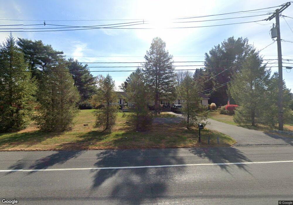
233 State Route 94 Columbia, NJ 07832
Estimated Value: $441,000
--
Bed
--
Bath
2,427
Sq Ft
$182/Sq Ft
Est. Value
About This Home
This home is located at 233 State Route 94, Columbia, NJ 07832 and is currently estimated at $441,000, approximately $181 per square foot. 233 State Route 94 is a home located in Warren County with nearby schools including Blairstown Elementary School, North Warren Regional School, and Blair Academy.
Ownership History
Date
Name
Owned For
Owner Type
Purchase Details
Closed on
Jan 24, 2025
Sold by
Santamaria Carol
Bought by
Liberty State Construction 2 Llc
Current Estimated Value
Home Financials for this Owner
Home Financials are based on the most recent Mortgage that was taken out on this home.
Original Mortgage
$300,000
Outstanding Balance
$298,196
Interest Rate
6.85%
Mortgage Type
New Conventional
Estimated Equity
$142,804
Purchase Details
Closed on
Jun 30, 2000
Sold by
Vandien Beatrice
Bought by
Santamaria Salvatore and Santamaria Carol
Home Financials for this Owner
Home Financials are based on the most recent Mortgage that was taken out on this home.
Original Mortgage
$14,500
Interest Rate
8.19%
Mortgage Type
Stand Alone Second
Create a Home Valuation Report for This Property
The Home Valuation Report is an in-depth analysis detailing your home's value as well as a comparison with similar homes in the area
Home Values in the Area
Average Home Value in this Area
Purchase History
| Date | Buyer | Sale Price | Title Company |
|---|---|---|---|
| Liberty State Construction 2 Llc | $400,000 | Guardian Title Services | |
| Liberty State Construction 2 Llc | $400,000 | Guardian Title Services | |
| Santamaria Salvatore | $145,000 | -- |
Source: Public Records
Mortgage History
| Date | Status | Borrower | Loan Amount |
|---|---|---|---|
| Open | Liberty State Construction 2 Llc | $300,000 | |
| Closed | Liberty State Construction 2 Llc | $300,000 | |
| Previous Owner | Santamaria Salvatore | $14,500 | |
| Previous Owner | Santamaria Salvatore | $116,000 |
Source: Public Records
Tax History Compared to Growth
Tax History
| Year | Tax Paid | Tax Assessment Tax Assessment Total Assessment is a certain percentage of the fair market value that is determined by local assessors to be the total taxable value of land and additions on the property. | Land | Improvement |
|---|---|---|---|---|
| 2025 | $10,407 | $335,600 | $118,000 | $217,600 |
| 2024 | $9,672 | $335,600 | $118,000 | $217,600 |
| 2023 | $9,474 | $335,600 | $118,000 | $217,600 |
| 2022 | $9,474 | $335,600 | $118,000 | $217,600 |
| 2021 | $8,108 | $335,600 | $118,000 | $217,600 |
| 2020 | $8,296 | $335,600 | $118,000 | $217,600 |
| 2019 | $7,719 | $335,600 | $118,000 | $217,600 |
| 2018 | $7,719 | $335,600 | $118,000 | $217,600 |
| 2017 | $7,746 | $335,600 | $118,000 | $217,600 |
| 2016 | $7,773 | $335,600 | $118,000 | $217,600 |
| 2015 | $7,638 | $335,600 | $118,000 | $217,600 |
| 2014 | $7,491 | $335,600 | $118,000 | $217,600 |
Source: Public Records
Map
Nearby Homes
- 60 Vail Rd
- 20 Polkville Rd
- 0 Mount Vernon Rd
- 18 W Crisman Rd
- 0 Cedar Lake Rd Unit 3936605
- 163 New Jersey 94
- 87 Walnut Valley Rd
- 00 Walnut Valley Rd
- 5 Alice Ct
- 34 Stony Brook Rd
- 6 Mountain Terrace
- 3 Hoagland Rd
- 143 Vail Rd
- 3 Hickory Ridge Dr
- 123 Vail Rd
- 17 Bear Cave Rd
- 7 Gap View Dr
- 49 Mount Pleasant Rd
- 2 Frontage Rd
- 10 Poppys Ct
- 231 State Route 94
- 235 State Route 94
- 237 State Route 94
- 10 Democracy Rd
- 4 Democracy Rd
- 2 Democracy Rd
- 12 Democracy Rd
- 14 Democracy Rd
- 6 Vail Rd
- 226 New Jersey 94
- 226 State Route 94
- 8 Vail Rd
- 16 Democracy Rd
- 1 Ash Rd
- 2 Ash Rd
- 10 Vail Rd
- 238 State Route 94
- 2 Walnut Valley Rd
- 2 Walnut Valley Rd Unit 1
- 3 Ash Rd