234 Dingley Island Rd Harpswell, ME 04079
Harpswell NeighborhoodEstimated Value: $3,033,000 - $3,675,216
5
Beds
6
Baths
5,330
Sq Ft
$629/Sq Ft
Est. Value
About This Home
This home is located at 234 Dingley Island Rd, Harpswell, ME 04079 and is currently estimated at $3,354,108, approximately $629 per square foot. 234 Dingley Island Rd is a home with nearby schools including Mt Ararat High School.
Ownership History
Date
Name
Owned For
Owner Type
Purchase Details
Closed on
Jun 15, 2022
Sold by
Moser Mary W
Bought by
Moser Dingley Is T
Current Estimated Value
Purchase Details
Closed on
Mar 8, 2022
Sold by
Moser Thomas F
Bought by
Moser Mary W
Purchase Details
Closed on
Jul 22, 2016
Sold by
Moser Thomas F and Moser Mary W
Bought by
David Q Moser Lt and Moser David Q
Create a Home Valuation Report for This Property
The Home Valuation Report is an in-depth analysis detailing your home's value as well as a comparison with similar homes in the area
Home Values in the Area
Average Home Value in this Area
Purchase History
| Date | Buyer | Sale Price | Title Company |
|---|---|---|---|
| Moser Dingley Is T | -- | None Available | |
| Moser Mary W | -- | None Available | |
| David Q Moser Lt | -- | -- |
Source: Public Records
Tax History Compared to Growth
Tax History
| Year | Tax Paid | Tax Assessment Tax Assessment Total Assessment is a certain percentage of the fair market value that is determined by local assessors to be the total taxable value of land and additions on the property. | Land | Improvement |
|---|---|---|---|---|
| 2024 | $26,484 | $4,164,100 | $1,809,800 | $2,354,300 |
| 2023 | $25,401 | $4,164,100 | $1,809,800 | $2,354,300 |
| 2022 | $24,568 | $4,164,100 | $1,809,800 | $2,354,300 |
| 2021 | $23,631 | $3,495,700 | $1,560,900 | $1,934,800 |
| 2020 | $23,561 | $3,495,700 | $1,560,900 | $1,934,800 |
| 2019 | $23,421 | $3,495,700 | $1,560,900 | $1,934,800 |
| 2018 | $22,652 | $3,495,700 | $1,560,900 | $1,934,800 |
| 2017 | $22,582 | $3,495,700 | $1,560,900 | $1,934,800 |
| 2016 | $23,206 | $3,626,000 | $1,691,200 | $1,934,800 |
| 2015 | $22,626 | $3,626,000 | $1,691,200 | $1,934,800 |
| 2013 | $20,958 | $3,626,000 | $1,691,200 | $1,934,800 |
Source: Public Records
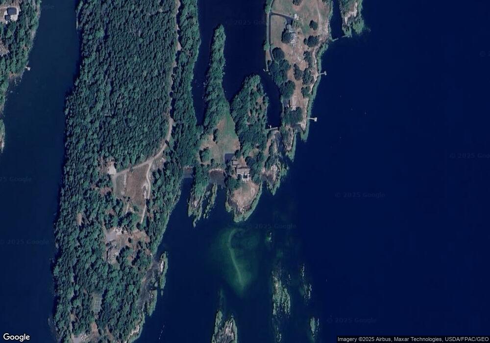
Map
Nearby Homes
- 136 Bethel Point Rd
- 943 Cundys Harbor Rd
- 37 & 38 S Dyers Cove Rd
- 93 Abbot Cove Rd
- 11 Orion Point Way
- 242 Long Reach Ln
- 205 W Cundys Point
- 25 Echo Ln
- 10 Birch Point Rd
- lot C Long Point Rd
- 65 Shell Rd
- 46 Dam Cove Rd
- 1682 Main Rd
- 15 Church Ln
- 7-1 Wrong Way Dr
- 29 & 30 Nob Hill Ave
- 646 Gurnet Rd
- 51 & 53 Rock Haven Dr
- 218 Sam Day Hill Rd
- 270 Harpswell Neck Rd
- 213 Dingley Island Rd
- 117 Starboard Ln
- 191 Dingley Island Rd
- 187 Dingley Island Rd
- 18 Starboard Ln
- 0 Spruce Cove Rd Unit 640737
- 0 Spruce Cove Rd Unit 1289093
- 0 Spruce Cove Rd Unit 1416252
- 0 Spruce Cove Rd Unit 1442831
- 179 Dingley Island Rd
- 177 Dingley Island Rd
- 17 Blue Bird Way
- 57 Spruce Cove Rd
- 165 Dingley Island Rd
- 000 Governors Point Rd
- 0 Governors Point Rd
- TBD Spruce Cove Rd
- 53 Spruce Cove Rd
- 147 Dingley Island Rd
- 147 Dingley Island Rd