235 N Muskogee Ave Tahlequah, OK 74464
Estimated Value: $1,511,211
--
Bed
--
Bath
16,538
Sq Ft
$91/Sq Ft
Est. Value
About This Home
This home is located at 235 N Muskogee Ave, Tahlequah, OK 74464 and is currently estimated at $1,511,211, approximately $91 per square foot. 235 N Muskogee Ave is a home located in Cherokee County with nearby schools including Greenwood Elementary School, Cherokee Elementary School, and Tahlequah Middle School.
Ownership History
Date
Name
Owned For
Owner Type
Purchase Details
Closed on
Apr 24, 2023
Sold by
Cook Angela and Cook James
Bought by
Tahlequah Regional Development Authority
Current Estimated Value
Purchase Details
Closed on
Mar 11, 2019
Sold by
Bunch Jeannie and Steeley Latosha
Bought by
Cook Angela
Home Financials for this Owner
Home Financials are based on the most recent Mortgage that was taken out on this home.
Original Mortgage
$261,681
Interest Rate
4.4%
Mortgage Type
Commercial
Purchase Details
Closed on
Jan 30, 1968
Sold by
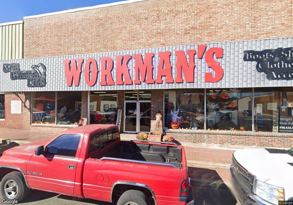
Workman Robert L
Bought by
Workman Charles L and Workman Work
Create a Home Valuation Report for This Property
The Home Valuation Report is an in-depth analysis detailing your home's value as well as a comparison with similar homes in the area
Home Values in the Area
Average Home Value in this Area
Purchase History
| Date | Buyer | Sale Price | Title Company |
|---|---|---|---|
| Tahlequah Regional Development Authority | $1,400,000 | Fidelity National Title | |
| Cook Angela | -- | None Available | |
| Workman Charles L | -- | -- |
Source: Public Records
Mortgage History
| Date | Status | Borrower | Loan Amount |
|---|---|---|---|
| Previous Owner | Cook Angela | $261,681 |
Source: Public Records
Tax History Compared to Growth
Tax History
| Year | Tax Paid | Tax Assessment Tax Assessment Total Assessment is a certain percentage of the fair market value that is determined by local assessors to be the total taxable value of land and additions on the property. | Land | Improvement |
|---|---|---|---|---|
| 2024 | -- | $0 | $0 | $0 |
| 2023 | $1,263 | $13,454 | $1,203 | $12,251 |
| 2022 | $1,189 | $12,813 | $1,145 | $11,668 |
| 2021 | $1,136 | $12,204 | $1,091 | $11,113 |
| 2020 | $1,102 | $11,622 | $1,038 | $10,584 |
| 2019 | $1,040 | $11,069 | $989 | $10,080 |
| 2018 | $1,002 | $10,542 | $922 | $9,620 |
| 2017 | $953 | $10,040 | $983 | $9,057 |
| 2016 | $913 | $9,562 | $936 | $8,626 |
| 2015 | $816 | $9,106 | $1,045 | $8,061 |
| 2014 | $816 | $8,673 | $1,738 | $6,935 |
Source: Public Records
Map
Nearby Homes
- 321 W Shawnee St
- 317 W Morgan St
- 403 S Bluff Ave
- 215 E Fuller St
- 224 W Chickasaw St
- 215 S Maple Ave
- 610 W Delaware St
- 202 N East Ave
- 605 E Ward St
- 609 E Ward St
- 510 S Cherokee Ave
- 702 N Jones Ave
- 111 N Logan Dr
- 0 W Choctaw St
- 508 Covington Place
- 201 Sandy Cir
- 513 S State Ave
- 717 N Oklahoma Ave
- 104 Tommye Ln
- 310 York St
- 1005 S Cherokee Ave
- 1007 S Cherokee Ave
- 201 N Muskogee Ave
- 209 N Muskogee Ave
- 103 E Shawnee St
- 105 E Shawnee St
- 107 E Shawnee St
- 112 W Shawnee St
- 111 E Shawnee St
- 109 E Shawnee St
- 135 N Muskogee Ave
- 200 N Muskogee Ave
- 218 N Muskogee
- 124 W Shawnee St
- 0 0000-17-16n-22e-0-034-00 Unit 2340164
- 0 0000-17-16n-22e-0-034-00 Unit 2317164
- 705 E Norman St
- 0 S Coos Thompson Rd Unit 1735545
- 0 West Ave
- 118 E Shawnee St