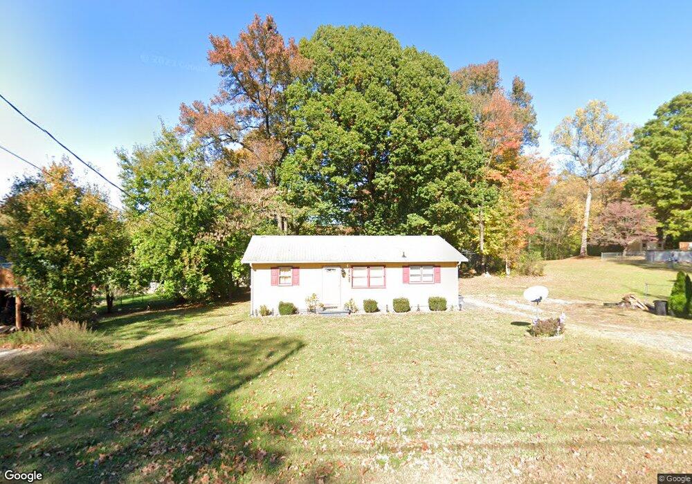
235 N Westwood Ave Thomasville, NC 27360
Estimated Value: $130,000 - $160,000
2
Beds
1
Bath
952
Sq Ft
$150/Sq Ft
Est. Value
About This Home
This home is located at 235 N Westwood Ave, Thomasville, NC 27360 and is currently estimated at $142,512, approximately $149 per square foot. 235 N Westwood Ave is a home located in Davidson County with nearby schools including Fair Grove Elementary School, E. Lawson Brown Middle School, and East Davidson High School.
Ownership History
Date
Name
Owned For
Owner Type
Purchase Details
Closed on
Nov 13, 2006
Sold by
F T F Builders Llc
Bought by
Romero Victor Manuel and Panecati Rosa Marla Romero
Current Estimated Value
Home Financials for this Owner
Home Financials are based on the most recent Mortgage that was taken out on this home.
Original Mortgage
$71,700
Outstanding Balance
$42,506
Interest Rate
6.25%
Mortgage Type
Purchase Money Mortgage
Estimated Equity
$100,006
Purchase Details
Closed on
Aug 31, 2006
Sold by
Morris Loren Scott and Morris Tina G
Bought by
F T F Builders Llc
Home Financials for this Owner
Home Financials are based on the most recent Mortgage that was taken out on this home.
Original Mortgage
$49,500
Interest Rate
6.73%
Mortgage Type
Seller Take Back
Purchase Details
Closed on
Jun 1, 1998
Purchase Details
Closed on
Mar 1, 1994
Purchase Details
Closed on
Aug 1, 1993
Create a Home Valuation Report for This Property
The Home Valuation Report is an in-depth analysis detailing your home's value as well as a comparison with similar homes in the area
Home Values in the Area
Average Home Value in this Area
Purchase History
| Date | Buyer | Sale Price | Title Company |
|---|---|---|---|
| Romero Victor Manuel | $74,000 | None Available | |
| F T F Builders Llc | $50,000 | None Available | |
| -- | $105,000 | -- | |
| -- | -- | -- | |
| -- | $78,000 | -- |
Source: Public Records
Mortgage History
| Date | Status | Borrower | Loan Amount |
|---|---|---|---|
| Open | Romero Victor Manuel | $71,700 | |
| Previous Owner | F T F Builders Llc | $49,500 |
Source: Public Records
Tax History Compared to Growth
Tax History
| Year | Tax Paid | Tax Assessment Tax Assessment Total Assessment is a certain percentage of the fair market value that is determined by local assessors to be the total taxable value of land and additions on the property. | Land | Improvement |
|---|---|---|---|---|
| 2025 | $790 | $69,170 | $0 | $0 |
| 2024 | $790 | $69,170 | $0 | $0 |
| 2023 | $790 | $69,170 | $0 | $0 |
| 2022 | $790 | $69,170 | $0 | $0 |
| 2021 | $790 | $69,170 | $0 | $0 |
| 2020 | $771 | $68,670 | $0 | $0 |
| 2019 | $783 | $68,670 | $0 | $0 |
| 2018 | $783 | $68,670 | $0 | $0 |
| 2017 | $783 | $68,670 | $0 | $0 |
| 2016 | $755 | $68,670 | $0 | $0 |
| 2015 | $755 | $68,670 | $0 | $0 |
| 2014 | $788 | $71,630 | $0 | $0 |
Source: Public Records
Map
Nearby Homes
- 0 Smith Dr
- 1 Westwood Ave
- 307 Fisher Ferry St
- 122 S Old Fisher Ferry Rd
- 223 S Westwood Ave
- 106 Kincemac Dr
- 708 Ferndale Dr
- 715 Dillon St
- 296 Fairgrove Rd
- 6 Curtis Ct
- 300 Willowbrook Dr
- 25 Cedar Lodge Rd
- 217 Moon St
- 512 Concord St
- 14 Welloski Dr
- 109 Fletcher's Farm Dr
- 107 Fletcher's Farm Dr
- 123 Brooke Ridge Dr
- 2619 N Carolina 109
- 208 Wagstaff St
- 237 N Westwood Ave
- 2 Smith Dr
- 258 N Westwood Ave
- 225 N Westwood Ave
- 4 Smith Dr
- 293 N Westwood Ave
- 310 N Westwood Ave
- 8 Smith Dr
- 10 Smith Dr
- 1 Smith Dr
- 214 N Westwood Ave
- 12 Smith Dr
- 190 N Westwood Ave
- 14 Smith Dr
- 175 N Westwood Ave
- 15 Westwood Ave
- 16 Smith Dr
- 11 Westwood Ave
- 18 Smith Dr
- 162 N Westwood Ave