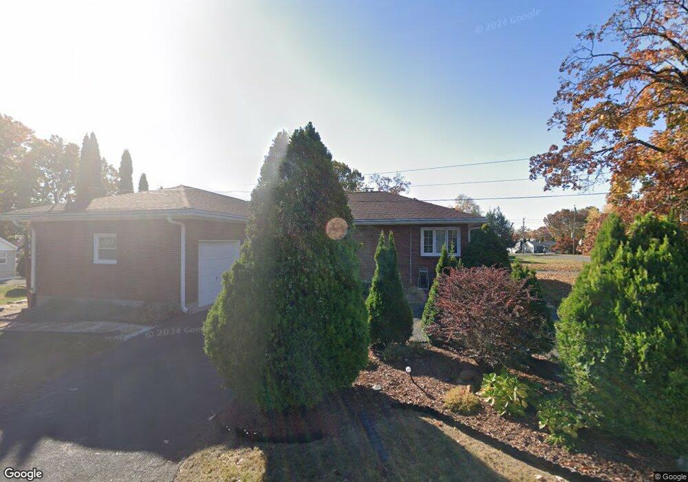
235 Pershing Ave New Britain, CT 06053
Estimated Value: $300,000 - $349,000
3
Beds
1
Bath
1,264
Sq Ft
$249/Sq Ft
Est. Value
About This Home
This home is located at 235 Pershing Ave, New Britain, CT 06053 and is currently estimated at $314,833, approximately $249 per square foot. 235 Pershing Ave is a home located in Hartford County with nearby schools including Gaffney School and Slade Middle School.
Ownership History
Date
Name
Owned For
Owner Type
Purchase Details
Closed on
Dec 12, 2005
Sold by
Phommasith Bounmark and Phommasith Bounmy
Bought by
Byrd Velmar
Current Estimated Value
Home Financials for this Owner
Home Financials are based on the most recent Mortgage that was taken out on this home.
Original Mortgage
$199,900
Interest Rate
6.17%
Create a Home Valuation Report for This Property
The Home Valuation Report is an in-depth analysis detailing your home's value as well as a comparison with similar homes in the area
Home Values in the Area
Average Home Value in this Area
Purchase History
| Date | Buyer | Sale Price | Title Company |
|---|---|---|---|
| Byrd Velmar | $201,500 | -- |
Source: Public Records
Mortgage History
| Date | Status | Borrower | Loan Amount |
|---|---|---|---|
| Open | Byrd Velmar | $219,899 | |
| Closed | Byrd Velmar | $199,900 | |
| Previous Owner | Byrd Velmar | $35,000 | |
| Previous Owner | Byrd Velmar | $88,000 |
Source: Public Records
Tax History Compared to Growth
Tax History
| Year | Tax Paid | Tax Assessment Tax Assessment Total Assessment is a certain percentage of the fair market value that is determined by local assessors to be the total taxable value of land and additions on the property. | Land | Improvement |
|---|---|---|---|---|
| 2025 | $5,768 | $147,210 | $57,470 | $89,740 |
| 2024 | $5,828 | $147,210 | $57,470 | $89,740 |
| 2023 | $5,635 | $147,210 | $57,470 | $89,740 |
| 2022 | $4,962 | $100,240 | $26,460 | $73,780 |
| 2021 | $4,962 | $100,240 | $26,460 | $73,780 |
| 2020 | $5,062 | $100,240 | $26,460 | $73,780 |
| 2019 | $5,062 | $100,240 | $26,460 | $73,780 |
| 2018 | $5,062 | $100,240 | $26,460 | $73,780 |
| 2017 | $4,945 | $97,930 | $22,050 | $75,880 |
| 2016 | $4,945 | $97,930 | $22,050 | $75,880 |
| 2015 | $4,799 | $97,930 | $22,050 | $75,880 |
| 2014 | $4,799 | $97,930 | $22,050 | $75,880 |
Source: Public Records
Map
Nearby Homes
- 87 Pinehurst Ave
- 19 Maplehurst Ave
- 230 Hillhurst Ave
- 1485 Corbin Ave
- 1467 Corbin Ave
- 42 Fairlane Dr
- 108 Overhill Ave
- 95 Pierremount Ave
- 27 Candlewood Ln
- 8 Albany Ave
- 874 Slater Rd
- 25 Clinton St
- 115 Beechwood Dr
- 527 Burritt St
- 23 Ledyard Rd
- 335 Broad St
- 234 Pierremount Ave
- 152 Oakland Ave
- 148 Governor St
- 817 W Main St
- 229 Pershing Ave
- 245 Pershing Ave
- 106 Maplehurst Ave
- 221 Pershing Ave
- 234 Pershing Ave
- 226 Pershing Ave
- 255 Pershing Ave
- 248 Pershing Ave
- 98 Maplehurst Ave
- 222 Pershing Ave
- 95 Hillhurst Ave
- 252 Pershing Ave
- 218 Pershing Ave
- 115 Hillhurst Ave
- 265 Pershing Ave
- 212 Pershing Ave
- 91 Maplehurst Ave
- 262 Pershing Ave
- 43 Rome St
- 86 Maplehurst Ave