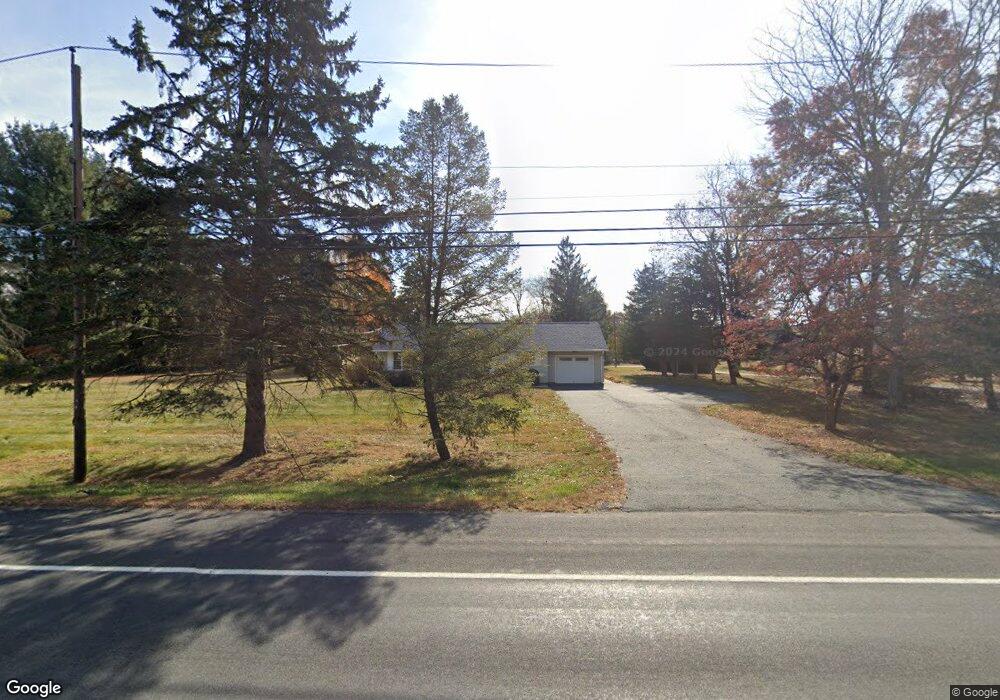
235 State Route 94 Columbia, NJ 07832
Estimated Value: $326,571 - $438,000
3
Beds
2
Baths
1,192
Sq Ft
$317/Sq Ft
Est. Value
About This Home
This home is located at 235 State Route 94, Columbia, NJ 07832 and is currently estimated at $377,643, approximately $316 per square foot. 235 State Route 94 is a home located in Warren County with nearby schools including Blairstown Elementary School, North Warren Regional School, and Blair Academy.
Ownership History
Date
Name
Owned For
Owner Type
Purchase Details
Closed on
Jun 1, 2006
Sold by
Ohl Richard M and Ohl Christine
Bought by
Ohl Rt 94 Llc
Current Estimated Value
Purchase Details
Closed on
Nov 13, 2003
Sold by
Cook G Richard and Cook Rebecca A
Bought by
Ohl Richard M and Ohl Christine
Home Financials for this Owner
Home Financials are based on the most recent Mortgage that was taken out on this home.
Original Mortgage
$125,400
Interest Rate
8.99%
Mortgage Type
Purchase Money Mortgage
Purchase Details
Closed on
Sep 26, 2000
Sold by
Balmer Emerson M and Balmer Dorothy C
Bought by
Cook G Richard and Cook Rebecca
Home Financials for this Owner
Home Financials are based on the most recent Mortgage that was taken out on this home.
Original Mortgage
$115,000
Interest Rate
7.94%
Mortgage Type
Stand Alone First
Create a Home Valuation Report for This Property
The Home Valuation Report is an in-depth analysis detailing your home's value as well as a comparison with similar homes in the area
Home Values in the Area
Average Home Value in this Area
Purchase History
| Date | Buyer | Sale Price | Title Company |
|---|---|---|---|
| Ohl Rt 94 Llc | $255,000 | None Available | |
| Ohl Richard M | $139,500 | -- | |
| Cook G Richard | $90,000 | -- |
Source: Public Records
Mortgage History
| Date | Status | Borrower | Loan Amount |
|---|---|---|---|
| Previous Owner | Ohl Richard M | $125,400 | |
| Previous Owner | Cook G Richard | $115,000 |
Source: Public Records
Tax History Compared to Growth
Tax History
| Year | Tax Paid | Tax Assessment Tax Assessment Total Assessment is a certain percentage of the fair market value that is determined by local assessors to be the total taxable value of land and additions on the property. | Land | Improvement |
|---|---|---|---|---|
| 2025 | $6,903 | $222,600 | $118,000 | $104,600 |
| 2024 | $6,415 | $222,600 | $118,000 | $104,600 |
| 2023 | $6,284 | $222,600 | $118,000 | $104,600 |
| 2022 | $6,284 | $222,600 | $118,000 | $104,600 |
| 2021 | $5,701 | $222,600 | $118,000 | $104,600 |
| 2020 | $5,503 | $222,600 | $118,000 | $104,600 |
| 2019 | $5,120 | $222,600 | $118,000 | $104,600 |
| 2018 | $5,120 | $222,600 | $118,000 | $104,600 |
| 2017 | $5,138 | $222,600 | $118,000 | $104,600 |
| 2016 | $5,155 | $222,600 | $118,000 | $104,600 |
| 2015 | $5,066 | $222,600 | $118,000 | $104,600 |
| 2014 | $4,968 | $222,600 | $118,000 | $104,600 |
Source: Public Records
Map
Nearby Homes
- 60 Vail Rd
- 20 Polkville Rd
- 0 Mount Vernon Rd
- 18 W Crisman Rd
- 0 Cedar Lake Rd Unit 3936605
- 163 New Jersey 94
- 87 Walnut Valley Rd
- 00 Walnut Valley Rd
- 5 Alice Ct
- 34 Stony Brook Rd
- 6 Mountain Terrace
- 3 Hoagland Rd
- 143 Vail Rd
- 3 Hickory Ridge Dr
- 123 Vail Rd
- 17 Bear Cave Rd
- 7 Gap View Dr
- 49 Mount Pleasant Rd
- 2 Frontage Rd
- 10 Poppys Ct
- 237 State Route 94
- 233 State Route 94
- 232 State Route 94
- 231 State Route 94
- 12 Democracy Rd
- 10 Democracy Rd
- 14 Democracy Rd
- 4 Democracy Rd
- 16 Democracy Rd
- 2 Democracy Rd
- 238 State Route 94
- 8 Vail Rd
- 6 Vail Rd
- 4 Queen Ann Dr
- 226 New Jersey 94
- 10 Vail Rd
- 226 State Route 94
- 1 Ash Rd
- 6 Queen Ann Dr
- 6 Democracy Rd