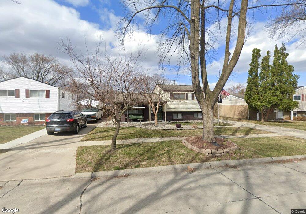
2357 Camel Dr Sterling Heights, MI 48310
Estimated Value: $269,000 - $281,000
--
Bed
1
Bath
1,970
Sq Ft
$139/Sq Ft
Est. Value
About This Home
This home is located at 2357 Camel Dr, Sterling Heights, MI 48310 and is currently estimated at $274,164, approximately $139 per square foot. 2357 Camel Dr is a home located in Macomb County with nearby schools including Angus Elementary School, Grissom Middle School, and Warren Mott High School.
Ownership History
Date
Name
Owned For
Owner Type
Purchase Details
Closed on
Mar 21, 2005
Sold by
Kinnear Lloyd F and Kinnear Joy A
Bought by
Forster Christine
Current Estimated Value
Home Financials for this Owner
Home Financials are based on the most recent Mortgage that was taken out on this home.
Original Mortgage
$125,600
Interest Rate
5.91%
Mortgage Type
Fannie Mae Freddie Mac
Create a Home Valuation Report for This Property
The Home Valuation Report is an in-depth analysis detailing your home's value as well as a comparison with similar homes in the area
Home Values in the Area
Average Home Value in this Area
Purchase History
| Date | Buyer | Sale Price | Title Company |
|---|---|---|---|
| Forster Christine | $157,000 | -- |
Source: Public Records
Mortgage History
| Date | Status | Borrower | Loan Amount |
|---|---|---|---|
| Previous Owner | Forster Christine | $125,600 |
Source: Public Records
Tax History Compared to Growth
Tax History
| Year | Tax Paid | Tax Assessment Tax Assessment Total Assessment is a certain percentage of the fair market value that is determined by local assessors to be the total taxable value of land and additions on the property. | Land | Improvement |
|---|---|---|---|---|
| 2025 | $2,903 | $126,000 | $0 | $0 |
| 2024 | $2,800 | $120,600 | $0 | $0 |
| 2023 | $2,658 | $108,600 | $0 | $0 |
| 2022 | $2,578 | $98,400 | $0 | $0 |
| 2021 | $2,664 | $92,400 | $0 | $0 |
| 2020 | $2,298 | $82,100 | $0 | $0 |
| 2019 | $2,265 | $75,300 | $0 | $0 |
| 2018 | $2,286 | $67,900 | $0 | $0 |
| 2017 | $2,203 | $62,700 | $15,000 | $47,700 |
| 2016 | $2,157 | $62,700 | $0 | $0 |
| 2015 | -- | $58,500 | $0 | $0 |
| 2014 | -- | $49,000 | $0 | $0 |
Source: Public Records
Map
Nearby Homes
- 2268 Serra Dr
- 2269 Serra Dr
- 2528 Koper Dr
- 2630 Pall Mall Dr
- 2600 Pall Mall Dr
- 34150 Dequindre Rd
- 3040 Alden Dr
- 33731 Newport Dr
- 2936 Wisconsin Rd
- 2907 Lovington Dr
- 2950 Iowa Dr
- 000 Wisconsin Rd
- 33288 Viceroy Dr
- 33569 Breckenridge Dr
- 3538 Cero Dr
- 2693 Wisconsin Rd
- 2109 Chesley Dr
- 2121 Chesley Dr
- 3528 Byrd Dr
- 1002 Minnesota Rd