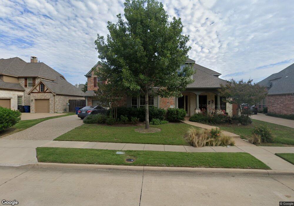
2362 Bannister Dr Frisco, TX 75034
Southwest Frisco NeighborhoodEstimated Value: $782,000 - $879,000
3
Beds
2
Baths
3,824
Sq Ft
$214/Sq Ft
Est. Value
About This Home
This home is located at 2362 Bannister Dr, Frisco, TX 75034 and is currently estimated at $818,824, approximately $214 per square foot. 2362 Bannister Dr is a home located in Denton County with nearby schools including Sparks Elementary School, Pioneer Heritage Middle School, and Reedy High School.
Ownership History
Date
Name
Owned For
Owner Type
Purchase Details
Closed on
Aug 18, 2004
Sold by
Darling Homes Of Dallas Ltd
Bought by
Rudy Bart N and Rudy Catherine C
Current Estimated Value
Home Financials for this Owner
Home Financials are based on the most recent Mortgage that was taken out on this home.
Original Mortgage
$145,000
Outstanding Balance
$71,999
Interest Rate
6.02%
Mortgage Type
Purchase Money Mortgage
Estimated Equity
$746,825
Create a Home Valuation Report for This Property
The Home Valuation Report is an in-depth analysis detailing your home's value as well as a comparison with similar homes in the area
Home Values in the Area
Average Home Value in this Area
Purchase History
| Date | Buyer | Sale Price | Title Company |
|---|---|---|---|
| Rudy Bart N | -- | Benchmark Title Services |
Source: Public Records
Mortgage History
| Date | Status | Borrower | Loan Amount |
|---|---|---|---|
| Open | Rudy Bart N | $145,000 |
Source: Public Records
Tax History Compared to Growth
Tax History
| Year | Tax Paid | Tax Assessment Tax Assessment Total Assessment is a certain percentage of the fair market value that is determined by local assessors to be the total taxable value of land and additions on the property. | Land | Improvement |
|---|---|---|---|---|
| 2025 | $6,175 | $738,000 | $187,200 | $550,800 |
| 2024 | $11,644 | $697,149 | $0 | $0 |
| 2023 | $6,182 | $633,772 | $187,200 | $660,861 |
| 2022 | $10,815 | $576,156 | $149,760 | $508,199 |
| 2021 | $10,380 | $523,778 | $102,960 | $420,818 |
| 2020 | $9,814 | $488,233 | $102,960 | $385,273 |
| 2019 | $9,843 | $466,000 | $102,960 | $363,040 |
| 2018 | $9,843 | $459,000 | $102,960 | $356,040 |
| 2017 | $9,663 | $447,700 | $102,960 | $368,156 |
| 2016 | $8,785 | $407,000 | $80,496 | $348,931 |
| 2015 | $7,618 | $370,000 | $80,496 | $289,504 |
| 2013 | -- | $325,000 | $80,496 | $244,504 |
Source: Public Records
Map
Nearby Homes
- 2385 Bannister Dr
- 2338 Angel Falls Dr
- 8201 Mckenzie Ct
- 8327 Robertson Dr
- 2066 Angel Falls Dr
- 8646 Robertson Dr
- 2274 Gelding Ln
- 7616 Big Buckle Dr
- 2498 Spillway Cir
- 2734 Sparks Dr
- 8608 Davis Dr
- 2499 Streamside Ct
- 7872 Crazy Horse Dr
- 1717 Angel Falls Dr
- 2100 Copperfield Ct
- 7477 Rawlins Ln
- 2335 Flat Creek Rd
- 1632 Pleasant Valley Ln
- 2339 Campfire Ln
- 2313 Campfire Ln
- 2338 Bannister Dr
- 2386 Bannister Dr
- 2367 Stockton Ln
- 2314 Bannister Dr
- 2391 Stockton Ln
- 2343 Stockton Ln
- 2361 Bannister Dr
- 2361 Bannister Dr
- 2337 Bannister Dr
- 2313 Bannister Dr
- 2409 Bannister Dr
- 2290 Bannister Dr
- 8252 Broken Bend Ln
- 2319 Stockton Ln
- 8274 Broken Bend Ln
- 8310 Broken Bend Ln
- 2289 Bannister Dr
- 2431 Bannister Dr
- 2404 Angel Falls Dr
- 2266 Bannister Dr