237 Ashland Mountain Rd Bakersville, NC 28705
Estimated Value: $394,000 - $497,000
3
Beds
3
Baths
2,352
Sq Ft
$188/Sq Ft
Est. Value
About This Home
This home is located at 237 Ashland Mountain Rd, Bakersville, NC 28705 and is currently estimated at $441,798, approximately $187 per square foot. 237 Ashland Mountain Rd is a home located in Mitchell County with nearby schools including Gouge Elementary School, Bowman Middle School, and Mitchell High School.
Ownership History
Date
Name
Owned For
Owner Type
Purchase Details
Closed on
Sep 13, 2024
Sold by
Powell Charles Alan and Powell Sara Patton
Bought by
Williams Cory Patton and Williams Carl Hubbard
Current Estimated Value
Purchase Details
Closed on
Sep 6, 2024
Sold by
Powell Charles Alan and Powell Sara Patton
Bought by
Williams Cory Patton and Williams Carl Hubbard
Purchase Details
Closed on
Jul 12, 2006
Sold by
Angel Jeremy D and Angel Lila A
Bought by
Powell Sara P
Create a Home Valuation Report for This Property
The Home Valuation Report is an in-depth analysis detailing your home's value as well as a comparison with similar homes in the area
Home Values in the Area
Average Home Value in this Area
Purchase History
| Date | Buyer | Sale Price | Title Company |
|---|---|---|---|
| Williams Cory Patton | -- | None Listed On Document | |
| Williams Cory Patton | $500 | None Listed On Document | |
| Powell Sara P | $275,000 | None Available |
Source: Public Records
Tax History Compared to Growth
Tax History
| Year | Tax Paid | Tax Assessment Tax Assessment Total Assessment is a certain percentage of the fair market value that is determined by local assessors to be the total taxable value of land and additions on the property. | Land | Improvement |
|---|---|---|---|---|
| 2025 | $1,887 | $294,800 | $62,900 | $231,900 |
| 2024 | $1,857 | $294,800 | $62,900 | $231,900 |
| 2023 | $1,857 | $294,800 | $62,900 | $231,900 |
| 2022 | $1,857 | $294,800 | $62,900 | $231,900 |
| 2021 | $1,544 | $237,500 | $43,700 | $193,800 |
| 2020 | $1,544 | $237,500 | $43,700 | $193,800 |
| 2019 | $1,544 | $237,500 | $43,700 | $193,800 |
| 2018 | $1,544 | $237,500 | $43,700 | $193,800 |
| 2017 | $1,550 | $238,400 | $43,700 | $194,700 |
| 2016 | $1,430 | $238,400 | $43,700 | $194,700 |
| 2015 | $143 | $238,400 | $43,700 | $194,700 |
| 2014 | $1,430 | $238,400 | $43,700 | $194,700 |
Source: Public Records
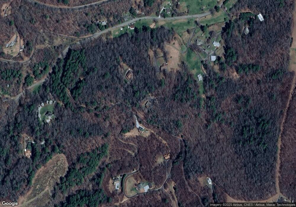
Map
Nearby Homes
- 00 Ashland Mountain Rd
- 1371 Wing Rd
- 5218 S 226 Hwy
- 208 Murdock Rd
- TBD Elkins Rd
- 370 Bear Creek Church Rd
- TBD Robert Phillips Rd
- 202 Snow Hill Rd
- 00 Elkins Rd
- 71 Travis Ln
- 1424 Bear Creek Rd
- 607 Fred Sparks Rd
- 496 English Ln
- 249 Starlin Mountain Rd
- 75 Appalachian Way
- 3734 Snow Creek Rd
- 987 White Oak Rd
- 407 Terrell Dr
- 49 Loggy Hollow Rd
- 59 Deer Place Rd
- 0 Ashland Mountain Rd Unit NCM546057
- 0 Ashland Mountain Rd Unit 3579018
- 314 Ashland Mountain Rd
- 215 Ashland Mountain Rd Unit 13
- 62 Ledger Dr
- 000 Ashland Mountain Rd
- 167 Ashland Mountain Rd Unit 15
- 403 Turbyfill Rd
- 000 Grace Ridge
- 0000 Grace Ridge Rd
- 00000 Grace Ridge Rd
- 170 Ashland Mountain Rd Unit 11
- 218 Ashland Mountain Rd Unit 13
- 106 Ledger Dr
- 248 Grace Ridge Dr
- 91 Ashland Mountain Rd Unit 12
- 91 Ashland Mountain Rd
- 000 Ashland Mountain Dr
- 301 Wing Rd
- 201 Grace Ridge Dr