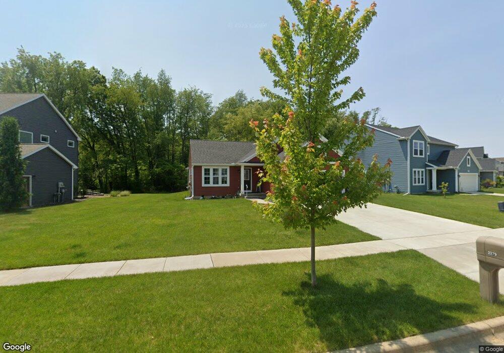
2379 Avalon Woods Dr Portage, MI 49024
Estimated Value: $300,387 - $373,000
3
Beds
2
Baths
1,398
Sq Ft
$248/Sq Ft
Est. Value
About This Home
This home is located at 2379 Avalon Woods Dr, Portage, MI 49024 and is currently estimated at $346,097, approximately $247 per square foot. 2379 Avalon Woods Dr is a home located in Kalamazoo County with nearby schools including Moorsbridge Elementary School, Portage Central Middle School, and Portage Central High School.
Ownership History
Date
Name
Owned For
Owner Type
Purchase Details
Closed on
Oct 2, 2020
Sold by
Westview Capital Llc
Bought by
Kersjes Lawrence L and Kersjes Katherine E
Current Estimated Value
Home Financials for this Owner
Home Financials are based on the most recent Mortgage that was taken out on this home.
Original Mortgage
$254,500
Outstanding Balance
$226,755
Interest Rate
2.8%
Mortgage Type
Construction
Estimated Equity
$119,342
Purchase Details
Closed on
Mar 28, 2014
Sold by
Gems Associates Limited Partnership
Bought by
Tc Scott Construction Llc
Create a Home Valuation Report for This Property
The Home Valuation Report is an in-depth analysis detailing your home's value as well as a comparison with similar homes in the area
Home Values in the Area
Average Home Value in this Area
Purchase History
| Date | Buyer | Sale Price | Title Company |
|---|---|---|---|
| Kersjes Lawrence L | $43,000 | Devon Title Agency | |
| Tc Scott Construction Llc | -- | None Available |
Source: Public Records
Mortgage History
| Date | Status | Borrower | Loan Amount |
|---|---|---|---|
| Open | Kersjes Lawrence L | $254,500 |
Source: Public Records
Tax History Compared to Growth
Tax History
| Year | Tax Paid | Tax Assessment Tax Assessment Total Assessment is a certain percentage of the fair market value that is determined by local assessors to be the total taxable value of land and additions on the property. | Land | Improvement |
|---|---|---|---|---|
| 2025 | $6,122 | $160,300 | $0 | $0 |
| 2024 | $5,390 | $149,300 | $0 | $0 |
| 2023 | $5,138 | $129,600 | $0 | $0 |
| 2022 | $5,551 | $122,600 | $0 | $0 |
| 2021 | $3,497 | $77,200 | $0 | $0 |
| 2020 | $881 | $22,000 | $0 | $0 |
| 2019 | $57 | $22,000 | $0 | $0 |
| 2018 | $0 | $14,800 | $0 | $0 |
| 2017 | $0 | $13,200 | $0 | $0 |
| 2016 | -- | $17,500 | $0 | $0 |
| 2015 | -- | $17,500 | $0 | $0 |
| 2014 | -- | $17,500 | $0 | $0 |
Source: Public Records
Map
Nearby Homes
- 2633 Rolling Hill Ave
- 1817 Alder Ave
- 10381 Schrier Ln
- 10382 Pennridge Dr
- Integrity 1800 Plan at Pennridge Trail North
- Integrity 2085 Plan at Pennridge Trail North
- Integrity 1910 Plan at Pennridge Trail North
- 10197 Pennridge Dr
- 10187 Pennridge Dr
- 2223 Surry
- 10118 Pennridge Dr
- 10077 Kearns Ct
- 10025 Kearns Ct
- 10025 Shuman St
- 10029 Kearns Ct
- 10565 Pierport Dr
- 11025 Higley Cir W
- 9898 Windflower Ln
- 9899 Windflower Ln
- 10631 Gracie Ln Unit 6
- 2401 Avalon Woods Dr
- 2355 Avalon Woods Dr
- 2425 Avalon Woods Dr
- 10834 Country Grove Cir
- 2332 Oak Leaf Trail
- 2451 Avalon Woods Dr
- 10860 Country Grove Cir
- 2400 Avalon Woods Dr
- 2424 Avalon Woods Dr
- 10835 Country Grove Cir
- 2448 Avalon Woods Dr
- 2475 Avalon Woods Dr
- 2310 Oak Leaf Trail
- 10859 Country Grove Cir
- 2470 Avalon Woods Dr
- 10904 Country Grove Cir
- 2291 Oak Leaf Trail
- 2505 Avalon Woods Dr
- 2405 Sugarloaf Ave
- 2319 Sugarloaf Ave