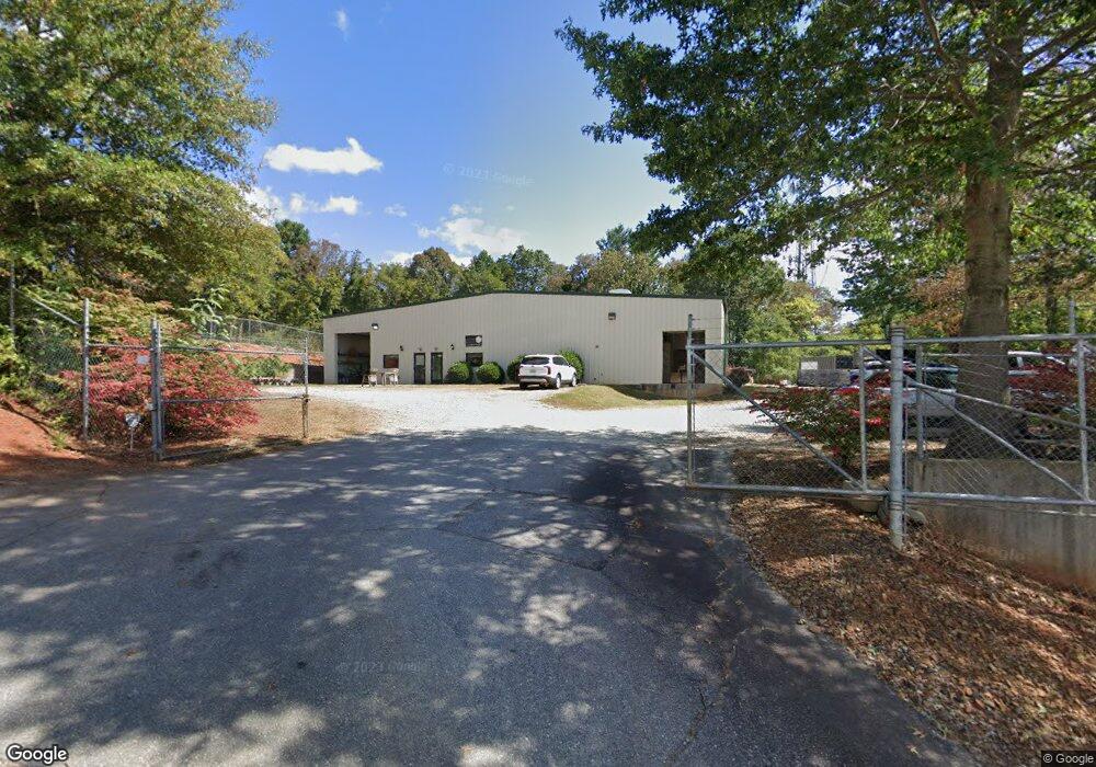
239 Amboy Rd Asheville, NC 28806
West Asheville NeighborhoodEstimated Value: $1,817,946
--
Bed
--
Bath
10,800
Sq Ft
$168/Sq Ft
Est. Value
About This Home
This home is located at 239 Amboy Rd, Asheville, NC 28806 and is currently estimated at $1,817,946, approximately $168 per square foot. 239 Amboy Rd is a home located in Buncombe County with nearby schools including Hall Fletcher Elementary, Isaac Dickson Elementary, and Ira B Jones Elementary.
Ownership History
Date
Name
Owned For
Owner Type
Purchase Details
Closed on
Jan 20, 2015
Sold by
Hay Jerome Collett and Beck Judith Ann
Bought by
Rockview Properties Llc
Current Estimated Value
Home Financials for this Owner
Home Financials are based on the most recent Mortgage that was taken out on this home.
Original Mortgage
$310,000
Outstanding Balance
$238,927
Interest Rate
4.01%
Mortgage Type
Future Advance Clause Open End Mortgage
Estimated Equity
$1,579,019
Purchase Details
Closed on
Aug 15, 2006
Sold by
Ryco Enterprises Llc
Bought by
Hay Elizabeth C and Elizabeth C Hay Living Trust
Home Financials for this Owner
Home Financials are based on the most recent Mortgage that was taken out on this home.
Original Mortgage
$395,000
Interest Rate
6.71%
Mortgage Type
Commercial
Create a Home Valuation Report for This Property
The Home Valuation Report is an in-depth analysis detailing your home's value as well as a comparison with similar homes in the area
Home Values in the Area
Average Home Value in this Area
Purchase History
| Date | Buyer | Sale Price | Title Company |
|---|---|---|---|
| Rockview Properties Llc | -- | None Available | |
| Hay Elizabeth C | $730,000 | None Available |
Source: Public Records
Mortgage History
| Date | Status | Borrower | Loan Amount |
|---|---|---|---|
| Open | Rockview Properties Llc | $310,000 | |
| Previous Owner | Hay Elizabeth C | $395,000 |
Source: Public Records
Tax History Compared to Growth
Tax History
| Year | Tax Paid | Tax Assessment Tax Assessment Total Assessment is a certain percentage of the fair market value that is determined by local assessors to be the total taxable value of land and additions on the property. | Land | Improvement |
|---|---|---|---|---|
| 2025 | $2,104 | $788,100 | $125,000 | $663,100 |
| 2024 | $2,104 | $788,100 | $125,000 | $663,100 |
| 2023 | $2,104 | $788,100 | $125,000 | $663,100 |
| 2022 | $1,964 | $788,100 | $125,000 | $663,100 |
| 2021 | $1,847 | $788,100 | $0 | $0 |
| 2020 | $8,013 | $743,400 | $0 | $0 |
| 2019 | $8,013 | $743,400 | $0 | $0 |
| 2018 | $8,013 | $743,400 | $0 | $0 |
| 2017 | $8,087 | $729,700 | $0 | $0 |
| 2016 | $8,968 | $729,700 | $0 | $0 |
| 2015 | $8,968 | $729,700 | $0 | $0 |
| 2014 | $8,859 | $729,700 | $0 | $0 |
Source: Public Records
Map
Nearby Homes
- 186 Joyner Ave
- 152 Joyner Ave
- 107 Bradley St
- 100 Bradley St
- 364 State St
- 65 Moore Ave
- 183 Swannanoa Ave
- 120 Joyner Ave
- 27 Lamb Ave
- 123 Arline Henry Way
- 1 Freeport Ln
- 1 & 3 Freeport Ln
- 302 State St
- 45 Tahkieostie Trail
- 12 Mountain Song Ln
- 16 Mountain Song Ln
- 34 Bradley St
- 71 5th Ave
- 83 5th Ave
- 112 Swannanoa Ave