239 Guilloud Cir Pottsboro, TX 75076
Estimated Value: $218,370 - $308,000
--
Bed
--
Bath
1,152
Sq Ft
$228/Sq Ft
Est. Value
About This Home
This home is located at 239 Guilloud Cir, Pottsboro, TX 75076 and is currently estimated at $263,185, approximately $228 per square foot. 239 Guilloud Cir is a home located in Grayson County with nearby schools including Pottsboro Elementary School, Pottsboro Middle School, and Pottsboro High School.
Ownership History
Date
Name
Owned For
Owner Type
Purchase Details
Closed on
Oct 27, 2025
Sold by
Bond Brenda Carroll
Bought by
West Calvin Dale
Current Estimated Value
Purchase Details
Closed on
Nov 1, 2018
Sold by
Bell Barbara Lou
Bought by
Bond Brenda Carrol
Home Financials for this Owner
Home Financials are based on the most recent Mortgage that was taken out on this home.
Original Mortgage
$30,000
Interest Rate
4.7%
Mortgage Type
New Conventional
Create a Home Valuation Report for This Property
The Home Valuation Report is an in-depth analysis detailing your home's value as well as a comparison with similar homes in the area
Home Values in the Area
Average Home Value in this Area
Purchase History
| Date | Buyer | Sale Price | Title Company |
|---|---|---|---|
| West Calvin Dale | -- | None Listed On Document | |
| Bond Brenda Carrol | -- | None Available |
Source: Public Records
Mortgage History
| Date | Status | Borrower | Loan Amount |
|---|---|---|---|
| Previous Owner | Bond Brenda Carrol | $30,000 |
Source: Public Records
Tax History Compared to Growth
Tax History
| Year | Tax Paid | Tax Assessment Tax Assessment Total Assessment is a certain percentage of the fair market value that is determined by local assessors to be the total taxable value of land and additions on the property. | Land | Improvement |
|---|---|---|---|---|
| 2025 | $714 | $168,972 | -- | -- |
| 2024 | $2,128 | $153,611 | $0 | $0 |
| 2023 | $715 | $139,646 | $0 | $0 |
| 2022 | $1,998 | $126,951 | $0 | $0 |
| 2021 | $1,877 | $124,814 | $31,155 | $93,659 |
| 2020 | $1,771 | $118,298 | $19,091 | $99,207 |
| 2019 | $1,994 | $112,735 | $38,182 | $74,553 |
| 2018 | $1,498 | $90,366 | $17,813 | $72,553 |
| 2017 | $1,380 | $78,368 | $12,188 | $66,180 |
| 2016 | $1,255 | $71,339 | $7,406 | $63,933 |
| 2015 | $0 | $62,835 | $7,406 | $55,429 |
| 2014 | -- | $61,740 | $7,406 | $54,334 |
Source: Public Records
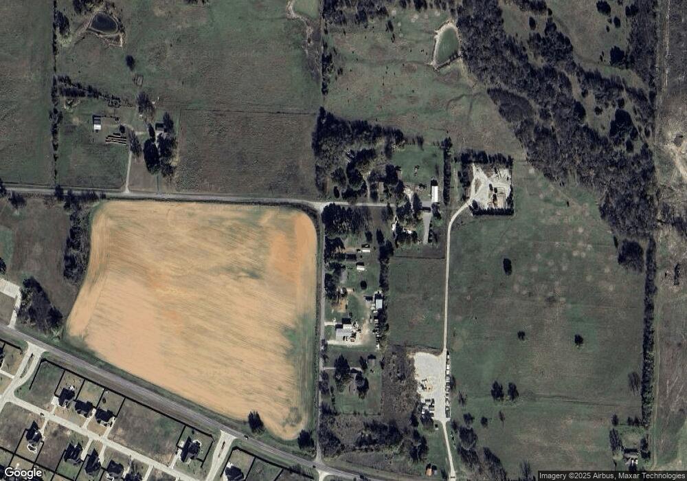
Map
Nearby Homes
- 124 Chisolm Trail
- 129 Chisolm Trail
- 100 Chisolm Trail
- 104 Chisolm Trail
- 117 Chisolm Trail
- 144 Shawnee Trail
- 109 Chisolm Trail
- 000 Loving Trail
- 121 Shawnee Trail
- 125 Shawnee Trail
- 514 Preston Dr
- 133 S Meadowbrook Dr
- TBD Lot 4 Farm To Market 120
- 3.269 Ac Sh 289
- 200 Clement Ct
- 104 Loraine St
- 200 Herberta St
- 20 AC Preston Bend Rd
- 49 AC Preston Bend Rd
- 1023 Teagan Ct
- 207 Guilloud Cir
- 183 Guilloud Cir
- 82 Turtle Ridge Dr
- 47 Turtle Ridge Dr
- 103 Guilloud Cir
- 459 Guilloud Cir
- 140 Chisolm Trail
- 128 Chisolm Trail
- 204 Chisolm Trail
- 116 Chisolm Trail
- 112 Chisolm Trail
- 101 Chisolm Trail
- 144 Chisolm Trail
- 108 Chisolm Trail
- 208 Chisolm Trail
- 141 Chisolm Trail
- 133 Chisolm Trail
- 145 Chisolm Trail
- 125 Chisolm Trail
- 212 Chisolm Trail