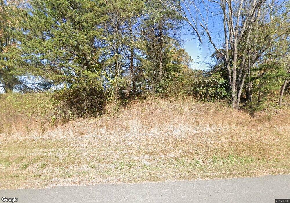
239 Wing Dr Statesville, NC 28625
Estimated Value: $201,500
3
Beds
2
Baths
8,000
Sq Ft
$25/Sq Ft
Est. Value
About This Home
This home is located at 239 Wing Dr, Statesville, NC 28625 and is currently priced at $201,500, approximately $25 per square foot. 239 Wing Dr is a home located in Iredell County with nearby schools including Sharon Elementary School, West Iredell Middle School, and West Iredell High School.
Ownership History
Date
Name
Owned For
Owner Type
Purchase Details
Closed on
Apr 28, 2010
Sold by
Vang Pao and Yang Chong
Bought by
Iredell County Lodge #10 Of Fraternal Or
Current Estimated Value
Purchase Details
Closed on
Sep 30, 1998
Sold by
Vue Peter Mao and Lao Vali
Bought by
Vang Pao and Yang Chong
Home Financials for this Owner
Home Financials are based on the most recent Mortgage that was taken out on this home.
Original Mortgage
$67,500
Interest Rate
6.96%
Purchase Details
Closed on
Nov 1, 1996
Purchase Details
Closed on
Sep 1, 1986
Create a Home Valuation Report for This Property
The Home Valuation Report is an in-depth analysis detailing your home's value as well as a comparison with similar homes in the area
Home Values in the Area
Average Home Value in this Area
Purchase History
| Date | Buyer | Sale Price | Title Company |
|---|---|---|---|
| Iredell County Lodge #10 Of Fraternal Or | $154,000 | None Available | |
| Vang Pao | $75,000 | -- | |
| -- | $28,000 | -- | |
| -- | -- | -- |
Source: Public Records
Mortgage History
| Date | Status | Borrower | Loan Amount |
|---|---|---|---|
| Previous Owner | Vang Pao | $67,500 |
Source: Public Records
Tax History Compared to Growth
Tax History
| Year | Tax Paid | Tax Assessment Tax Assessment Total Assessment is a certain percentage of the fair market value that is determined by local assessors to be the total taxable value of land and additions on the property. | Land | Improvement |
|---|---|---|---|---|
| 2024 | $5,918 | $992,950 | $82,600 | $910,350 |
| 2023 | $5,918 | $883,720 | $82,600 | $801,120 |
| 2022 | $644 | $93,080 | $49,560 | $43,520 |
| 2021 | $640 | $93,080 | $49,560 | $43,520 |
| 2020 | $640 | $93,080 | $49,560 | $43,520 |
| 2019 | $631 | $93,080 | $49,560 | $43,520 |
| 2018 | $556 | $84,410 | $36,120 | $48,290 |
| 2017 | $556 | $84,410 | $36,120 | $48,290 |
| 2016 | $556 | $84,410 | $36,120 | $48,290 |
| 2015 | $556 | $84,410 | $36,120 | $48,290 |
| 2014 | -- | $83,870 | $36,120 | $47,750 |
Source: Public Records
Map
Nearby Homes
- 230 Mock Mill Rd
- 214 Mock Mill Rd
- 462 Mock Mill Rd
- 1834 Island Ford Rd
- 0 Lippard Farm Rd
- 3662 Hickory Hwy
- 126 Top Flite Dr
- 153 Larue Cir
- 000 Fonda Rd
- 116 Deer Trail Rd
- 3119 Hickory Hwy
- 163 Whitney Ln
- 115 Three Oaks Ln
- 152 Colonial Heights Ln
- 270 Lewis Ferry Rd
- 129 Broken Arrow Dr Unit 2
- 260 Broken Arrow Dr
- 173 & 207 Deer Creek Trail
- 138 Broken Arrow Dr
- 148 Broken Arrow Dr
- 298 Mock Mill Rd
- 304 Mock Mill Rd
- 320 Mock Mill Rd
- 330 Mock Mill Rd
- 297 Mock Mill Rd
- 307 Mock Mill Rd
- 265 Mock Mill Rd
- 336 Mock Mill Rd
- 261 Wing Dr
- 185 Cullen Ln
- 241 Mock Mill Rd
- 356 Dagenhart Farm Rd
- 339 Mock Mill Rd
- 346 Mock Mill Rd
- 182 Cullen Ln
- 347 Mock Mill Rd
- 341 Dagenhart Farm Rd
- 358 Mock Mill Rd
- 358 Mock Mill Rd
- 357 Mock Mill Rd
