Estimated Value: $488,401 - $606,000
3
Beds
2
Baths
2,146
Sq Ft
$264/Sq Ft
Est. Value
About This Home
This home is located at 23946 Scott Dr, Emily, MN 56447 and is currently estimated at $565,850, approximately $263 per square foot. 23946 Scott Dr is a home located in Crow Wing County with nearby schools including Cuyuna Range Elementary School and Crosby-Ironton Secondary School.
Ownership History
Date
Name
Owned For
Owner Type
Purchase Details
Closed on
Jun 1, 2011
Bought by
Grotans Peteris and Eva Tone
Current Estimated Value
Purchase Details
Closed on
Oct 1, 2005
Sold by
Fuches David and Fuches Barbara
Bought by
Hi and Hi
Purchase Details
Closed on
Mar 1, 2003
Sold by
Cooper Roger F and Cooper Julie A
Bought by
Fuches David L and Fuches Barbara P
Purchase Details
Closed on
Jun 1, 1996
Sold by
Rouchon Susan M
Bought by
Cooper Roger F
Create a Home Valuation Report for This Property
The Home Valuation Report is an in-depth analysis detailing your home's value as well as a comparison with similar homes in the area
Home Values in the Area
Average Home Value in this Area
Purchase History
| Date | Buyer | Sale Price | Title Company |
|---|---|---|---|
| Grotans Peteris | $146,700 | -- | |
| Hi | $294,000 | -- | |
| Fuches David L | $273,000 | -- | |
| Cooper Roger F | $132,000 | -- |
Source: Public Records
Tax History Compared to Growth
Tax History
| Year | Tax Paid | Tax Assessment Tax Assessment Total Assessment is a certain percentage of the fair market value that is determined by local assessors to be the total taxable value of land and additions on the property. | Land | Improvement |
|---|---|---|---|---|
| 2025 | $2,146 | $421,500 | $140,500 | $281,000 |
| 2024 | $2,146 | $419,600 | $152,800 | $266,800 |
| 2023 | $2,520 | $454,800 | $154,400 | $300,400 |
| 2022 | $2,058 | $443,800 | $132,500 | $311,300 |
| 2021 | $2,088 | $281,800 | $108,900 | $172,900 |
| 2020 | $2,032 | $271,700 | $109,100 | $162,600 |
| 2019 | $1,950 | $265,300 | $108,800 | $156,500 |
| 2018 | $1,882 | $255,200 | $108,800 | $146,400 |
| 2017 | $1,932 | $247,900 | $104,300 | $143,600 |
| 2016 | $1,944 | $254,300 | $114,300 | $140,000 |
| 2015 | $1,746 | $220,800 | $96,000 | $124,800 |
| 2014 | $901 | $222,400 | $96,000 | $126,400 |
Source: Public Records
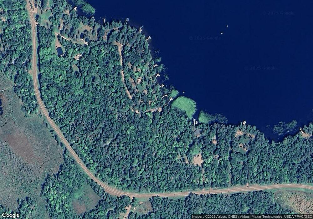
Map
Nearby Homes
- 23635 County Road 36
- 23611 County Road 36
- 24863 Pine Place
- TBD State Highway 6
- TBD Darsnek Rd
- 25343 Lens Rd
- Tract C Olander Rd
- TBD Olander Rd
- 22910 S Shore Dr
- Tract F Tract F
- 40456 Little Pine River Rd
- 40401 Little Pine River Rd
- Tract A County Road 1
- Tract B County Road 1
- 22311 Shadow Point
- TBD Deshayes Dr
- Lot 7 Block 1 Yellow Birch Ln
- 35604 Bonnie Lakes Rd
- TBD Greer Lake Rd
- TBD Mulligan Dr
- 23924 Scott Dr
- 23914 Scott Dr
- 23902 Scott Dr
- 23892 Scott Dr
- 23878 Scott Dr
- 23884 Scott Dr
- 23862 Scott Dr
- 24078 County Road 36
- 23854 Scott Dr
- 23844 Scott Dr
- 23989 County Road 36
- 23824 Scott Dr
- SENE TBD County Road 36
- TBD SWNW County Road 36
- 24118 County Road 36
- XX County Road 36
- 23797 County Road 36
- 23797 County Road 36
- 23797 County Road 36
- 23768 Scott Dr