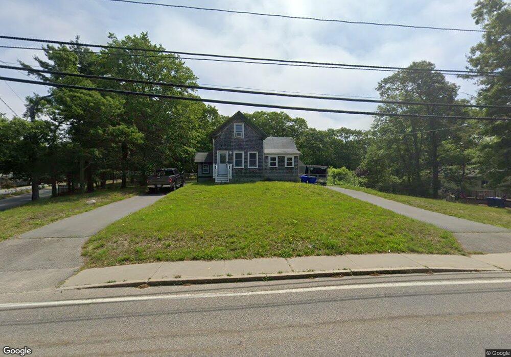
24 Head of The Bay Rd Buzzards Bay, MA 02532
Estimated Value: $388,000 - $502,000
2
Beds
1
Bath
705
Sq Ft
$612/Sq Ft
Est. Value
About This Home
This home is located at 24 Head of The Bay Rd, Buzzards Bay, MA 02532 and is currently estimated at $431,706, approximately $612 per square foot. 24 Head of The Bay Rd is a home located in Barnstable County with nearby schools including Bourne High School, St Margaret Regional School, and Cadence Academy Preschool - Bourne.
Ownership History
Date
Name
Owned For
Owner Type
Purchase Details
Closed on
Jul 24, 1996
Sold by
West Christine and Lawings Jane F
Bought by
West Kenneth W and West Racquel K
Current Estimated Value
Create a Home Valuation Report for This Property
The Home Valuation Report is an in-depth analysis detailing your home's value as well as a comparison with similar homes in the area
Home Values in the Area
Average Home Value in this Area
Purchase History
| Date | Buyer | Sale Price | Title Company |
|---|---|---|---|
| West Kenneth W | $71,600 | -- | |
| West Kenneth W | $71,600 | -- |
Source: Public Records
Mortgage History
| Date | Status | Borrower | Loan Amount |
|---|---|---|---|
| Open | West Kenneth W | $141,941 | |
| Closed | West Kenneth W | $109,500 | |
| Closed | West Kenneth W | $13,205 |
Source: Public Records
Tax History Compared to Growth
Tax History
| Year | Tax Paid | Tax Assessment Tax Assessment Total Assessment is a certain percentage of the fair market value that is determined by local assessors to be the total taxable value of land and additions on the property. | Land | Improvement |
|---|---|---|---|---|
| 2025 | $2,433 | $311,500 | $169,900 | $141,600 |
| 2024 | $2,379 | $296,600 | $161,800 | $134,800 |
| 2023 | $2,313 | $262,500 | $143,200 | $119,300 |
| 2022 | $2,394 | $237,300 | $142,600 | $94,700 |
| 2021 | $1,701 | $216,000 | $129,800 | $86,200 |
| 2020 | $2,299 | $214,100 | $128,500 | $85,600 |
| 2019 | $2,199 | $209,200 | $128,500 | $80,700 |
| 2018 | $0 | $199,300 | $122,400 | $76,900 |
| 2017 | $2,086 | $202,500 | $134,700 | $67,800 |
| 2016 | $1,772 | $174,400 | $107,800 | $66,600 |
| 2015 | $1,756 | $174,400 | $107,800 | $66,600 |
Source: Public Records
Map
Nearby Homes
- 304 Main St
- 162 Puritan Rd
- 171 Puritan Rd
- 17 Maple St
- 4 Knob Ln
- 38 Old Bridge Rd
- 41 Lewis Point Rd
- 46 Holt Rd
- 46 Holt Rd Unit A
- 90-92 Sandwich Rd Unit 9C
- 0 Lewis Point Rd
- 65 Lewis Point Rd
- 60 Sandwich Rd
- 73 Lewis Point Rd
- 90-92 Sandwich Rd Unit 2
- 151 - 153 Main St
- 23 Settlers Way
- 44 Cotuit Rd
- 34 Washington Ave
- 3 Wolf Rd
- 22 Head of The Bay Rd
- 22 Head of The Bay Rd Unit D
- 22 Head of The Bay Rd
- 4 Finch Ln
- 4 Finch Ln
- 18 Head of The Bay Rd
- 18 Head of The Bay Rd
- 25 Head of The Bay Rd
- 25 Head of The Bay Rd
- 6 Finch Ln
- 29-31 Head of The Bay Rd
- 33 Head of The Bay Rd
- 6 Finch Ln
- 23 Head of The Bay Rd
- 8 Head of The Bay Rd
- 15 Head of The Bay Rd
- 15 Head of The Bay Rd
- 17 Head of The Bay Rd
- 37 Head of The Bay Rd
- 13 Head of The Bay Rd