24 Irongate Dr Waldorf, MD 20602
Estimated Value: $1,330,756
--
Bed
--
Bath
7,500
Sq Ft
$177/Sq Ft
Est. Value
About This Home
This home is located at 24 Irongate Dr, Waldorf, MD 20602 and is currently estimated at $1,330,756, approximately $177 per square foot. 24 Irongate Dr is a home located in Charles County with nearby schools including Dr. Samuel A. Mudd Elementary School, John Hanson Middle School, and Thomas Stone High School.
Ownership History
Date
Name
Owned For
Owner Type
Purchase Details
Closed on
Apr 1, 2020
Sold by
T S Realty Company
Bought by
Liberty Holding Group Llc
Current Estimated Value
Home Financials for this Owner
Home Financials are based on the most recent Mortgage that was taken out on this home.
Original Mortgage
$750,000
Outstanding Balance
$663,147
Interest Rate
3.3%
Mortgage Type
Purchase Money Mortgage
Estimated Equity
$667,609
Purchase Details
Closed on
Aug 1, 1994
Sold by
Steger Ma
Bought by
Ts Realty Co
Create a Home Valuation Report for This Property
The Home Valuation Report is an in-depth analysis detailing your home's value as well as a comparison with similar homes in the area
Home Values in the Area
Average Home Value in this Area
Purchase History
| Date | Buyer | Sale Price | Title Company |
|---|---|---|---|
| Liberty Holding Group Llc | $940,000 | None Available | |
| Ts Realty Co | $410,000 | -- |
Source: Public Records
Mortgage History
| Date | Status | Borrower | Loan Amount |
|---|---|---|---|
| Open | Liberty Holding Group Llc | $750,000 |
Source: Public Records
Tax History Compared to Growth
Tax History
| Year | Tax Paid | Tax Assessment Tax Assessment Total Assessment is a certain percentage of the fair market value that is determined by local assessors to be the total taxable value of land and additions on the property. | Land | Improvement |
|---|---|---|---|---|
| 2025 | $25,998 | $933,100 | -- | -- |
| 2024 | $12,411 | $917,900 | $411,600 | $506,300 |
| 2023 | $12,611 | $882,500 | $0 | $0 |
| 2022 | $11,425 | $847,100 | $0 | $0 |
| 2021 | $22,360 | $811,700 | $411,600 | $400,100 |
| 2020 | $10,536 | $781,867 | $0 | $0 |
| 2019 | $10,134 | $752,033 | $0 | $0 |
| 2018 | $9,511 | $722,200 | $411,600 | $310,600 |
| 2017 | $9,654 | $722,200 | $0 | $0 |
| 2016 | -- | $722,200 | $0 | $0 |
| 2015 | -- | $750,400 | $0 | $0 |
| 2014 | -- | $733,600 | $0 | $0 |
Source: Public Records
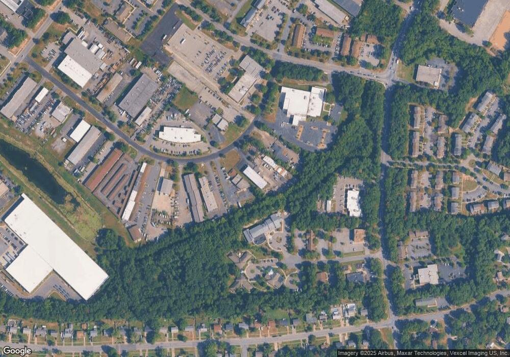
Map
Nearby Homes
- 801 Roxbury Ct
- 717 Barrington Dr
- 3071 Donegal Ct
- 3864 Kelly Green Place
- 314 Rivermont Dr
- 3 Henry Ford Cir
- 3081 Dorsey Ct
- 3893 Light Arms Place
- 3809 Light Arms Place
- 302 Barksdale Ave
- 3839 Kearnys Inn Place
- 3205 High Timber Ct
- 3729 Kempsford Field Place
- 3298 Old Washington Rd
- 0 Smallwood Dr Unit MDCH2031694
- 11960 Motley Place
- 0 Leonardtown Rd Unit MDCH2048068
- 3048 Heathcote Rd
- 3046 Heathcote Rd
- 3037 Heathcote Rd
- 22 Irongate Dr
- 26 Irongate Dr
- 20 Irongate Dr
- 11670 Doolittle Dr
- 18 Irongate Dr Unit 5
- 18 Irongate Dr Unit 10 AND 11
- 18 Irongate Dr Unit 6
- 18 Irongate Dr Unit 11
- 18 Irongate Dr Unit 10
- 19 Irongate Dr
- 11680 Doolittle Dr
- 11650 Doolittle Dr
- 17 Irongate Dr
- 16 Irongate Dr
- 7 Industrial Park Dr
- 14b Irongate Dr
- 336 Post Office Rd
- 14A Irongate Dr
- 11655 Doolittle Dr
- 14C Irongate Dr