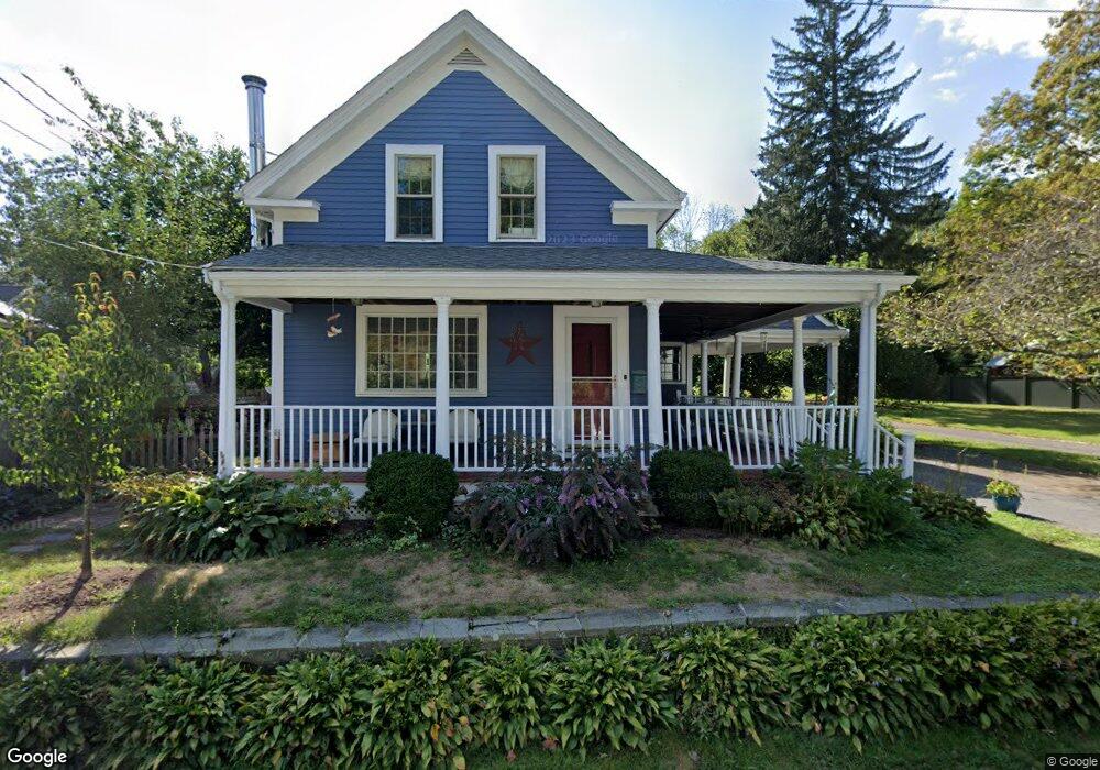
24 Leach Ln Natick, MA 01760
Estimated Value: $1,097,508 - $1,198,000
4
Beds
2
Baths
2,282
Sq Ft
$506/Sq Ft
Est. Value
About This Home
This home is located at 24 Leach Ln, Natick, MA 01760 and is currently estimated at $1,155,377, approximately $506 per square foot. 24 Leach Ln is a home located in Middlesex County with nearby schools including Natick High School, Memorial Elementary School, and J F Kennedy Middle School.
Ownership History
Date
Name
Owned For
Owner Type
Purchase Details
Closed on
Apr 29, 2005
Sold by
Imparato Elizabeth S and Imparato Joseph P
Bought by
Howland Brian and Howland Jane
Current Estimated Value
Home Financials for this Owner
Home Financials are based on the most recent Mortgage that was taken out on this home.
Original Mortgage
$290,000
Outstanding Balance
$152,275
Interest Rate
5.95%
Mortgage Type
Purchase Money Mortgage
Estimated Equity
$1,003,102
Create a Home Valuation Report for This Property
The Home Valuation Report is an in-depth analysis detailing your home's value as well as a comparison with similar homes in the area
Home Values in the Area
Average Home Value in this Area
Purchase History
| Date | Buyer | Sale Price | Title Company |
|---|---|---|---|
| Howland Brian | $530,000 | -- |
Source: Public Records
Mortgage History
| Date | Status | Borrower | Loan Amount |
|---|---|---|---|
| Open | Howland Brian | $290,000 |
Source: Public Records
Tax History Compared to Growth
Tax History
| Year | Tax Paid | Tax Assessment Tax Assessment Total Assessment is a certain percentage of the fair market value that is determined by local assessors to be the total taxable value of land and additions on the property. | Land | Improvement |
|---|---|---|---|---|
| 2025 | $10,301 | $861,300 | $471,800 | $389,500 |
| 2024 | $9,891 | $806,800 | $445,600 | $361,200 |
| 2023 | $9,656 | $763,900 | $417,400 | $346,500 |
| 2022 | $9,293 | $696,600 | $379,100 | $317,500 |
| 2021 | $8,898 | $653,800 | $358,400 | $295,400 |
| 2020 | $8,464 | $621,900 | $342,800 | $279,100 |
| 2019 | $13,662 | $621,900 | $342,800 | $279,100 |
| 2018 | $5,462 | $626,000 | $327,200 | $298,800 |
| 2017 | $7,959 | $590,000 | $296,300 | $293,700 |
| 2016 | $7,857 | $579,000 | $287,900 | $291,100 |
| 2015 | $7,532 | $545,000 | $287,900 | $257,100 |
Source: Public Records
Map
Nearby Homes
- 21 Eliot St
- 29 Water St
- 192 Pond Rd
- 8 Warren Rd
- 12 Winding River Cir
- 39 Davis Brook Dr
- 182 Winding River Rd
- 94 Woodland St
- 55 Ridge Hill Farm Rd
- 18 University Dr
- 200 Pond Rd
- 15 Penobscot Rd
- 191 E Central St
- 10 Sundance Way
- 91 Glen St
- 18 Phillips Pond Rd
- 60 Locust Ln
- 5 Oakridge Ave
- 3 Bacon St
- 104 Glen St