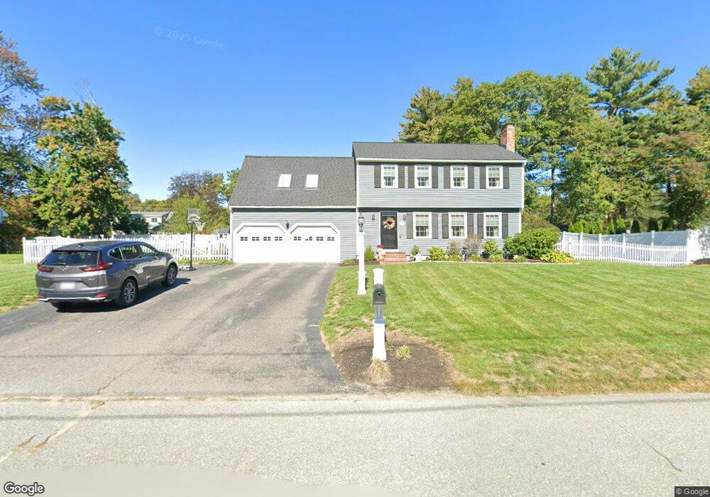
24 Lee St Lancaster, MA 01523
Estimated Value: $540,000 - $776,000
3
Beds
2
Baths
1,857
Sq Ft
$339/Sq Ft
Est. Value
About This Home
This home is located at 24 Lee St, Lancaster, MA 01523 and is currently estimated at $630,369, approximately $339 per square foot. 24 Lee St is a home located in Worcester County with nearby schools including Mary Rowlandson Elementary School, Luther Burbank Middle School, and Nashoba Regional High School.
Ownership History
Date
Name
Owned For
Owner Type
Purchase Details
Closed on
Nov 30, 1993
Sold by
Owen Andrew P and Owen Sandra
Bought by
Cook Michael J and Cook Mary
Current Estimated Value
Home Financials for this Owner
Home Financials are based on the most recent Mortgage that was taken out on this home.
Original Mortgage
$161,500
Interest Rate
6.72%
Mortgage Type
Purchase Money Mortgage
Create a Home Valuation Report for This Property
The Home Valuation Report is an in-depth analysis detailing your home's value as well as a comparison with similar homes in the area
Home Values in the Area
Average Home Value in this Area
Purchase History
| Date | Buyer | Sale Price | Title Company |
|---|---|---|---|
| Cook Michael J | $170,000 | -- |
Source: Public Records
Mortgage History
| Date | Status | Borrower | Loan Amount |
|---|---|---|---|
| Open | Cook Michael J | $155,000 | |
| Closed | Cook Michael J | $161,500 |
Source: Public Records
Tax History Compared to Growth
Tax History
| Year | Tax Paid | Tax Assessment Tax Assessment Total Assessment is a certain percentage of the fair market value that is determined by local assessors to be the total taxable value of land and additions on the property. | Land | Improvement |
|---|---|---|---|---|
| 2025 | $8,162 | $505,100 | $104,700 | $400,400 |
| 2024 | $7,745 | $443,600 | $97,400 | $346,200 |
| 2023 | $7,203 | $419,000 | $88,600 | $330,400 |
| 2022 | $6,876 | $353,500 | $91,900 | $261,600 |
| 2021 | $6,795 | $340,100 | $91,900 | $248,200 |
| 2020 | $6,739 | $339,500 | $91,900 | $247,600 |
| 2019 | $6,442 | $326,200 | $91,900 | $234,300 |
| 2018 | $6,166 | $308,600 | $91,900 | $216,700 |
| 2016 | $5,626 | $287,800 | $91,100 | $196,700 |
| 2015 | $5,296 | $282,300 | $91,100 | $191,200 |
| 2014 | $5,109 | $270,200 | $91,100 | $179,100 |
Source: Public Records
Map
Nearby Homes
- 63 Settlers Path
- 453 Blue Heron Dr Unit 453
- 238 Mill Street Extension
- 132 Kilbourn Rd
- 12 Woodruff Rd
- 136 Mill St
- 920 Ridgefield Cir Unit C
- 921 Ridgefield Cir Unit C
- 92 Mill St
- 29 Bennett Ln
- 405 Ridgefield Cir Unit C
- 23 Bennett Ln
- 107 Ridgefield Cir Unit D
- 103 Ridgefield Cir Unit B
- 30 John F. Kennedy Ave
- 112 Ridgefield Cir Unit B
- 303 Ridgefield Cir Unit C
- 200 Ridgefield Cir Unit C
- 85 Prescott St
- 0 Parker Rd
- 22 Lee St
- 26 Lee St
- 239 High Street Extension
- 23 Lee St
- 227 High Street Extension
- 251 High Street Extension
- 25 Lee St
- 21 Lee St
- 20 Lee St
- 28 Lee St
- 213 High Street Extension
- 263 High Street Extension
- 19 Lee St
- 27 Lee St
- 220 High Street Extension
- 18 Lee St
- 246 High Street Extension
- 246 High St Extension Unit 14
- 246 High St Extension Unit 7
- 246 High St Extension Unit 8