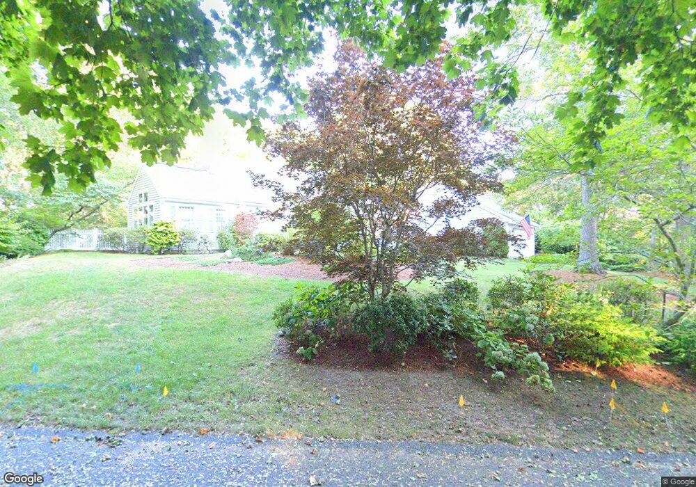
24 Liverpool Dr Yarmouth Port, MA 02675
Yarmouth Port NeighborhoodEstimated Value: $871,000 - $1,231,000
3
Beds
3
Baths
2,170
Sq Ft
$468/Sq Ft
Est. Value
About This Home
This home is located at 24 Liverpool Dr, Yarmouth Port, MA 02675 and is currently estimated at $1,015,006, approximately $467 per square foot. 24 Liverpool Dr is a home located in Barnstable County with nearby schools including Dennis-Yarmouth Regional High School.
Ownership History
Date
Name
Owned For
Owner Type
Purchase Details
Closed on
Aug 23, 1991
Sold by
Benford Audrey M
Bought by
Crookshank Anthony B and Crookshank Patricia
Current Estimated Value
Home Financials for this Owner
Home Financials are based on the most recent Mortgage that was taken out on this home.
Original Mortgage
$202,500
Interest Rate
9.55%
Mortgage Type
Purchase Money Mortgage
Purchase Details
Closed on
Jul 28, 1989
Sold by
Rollins Paul R
Bought by
Vanwagenen Peter
Purchase Details
Closed on
Sep 1, 1988
Sold by
Ralston Gary H
Bought by
Rollins Paul R
Home Financials for this Owner
Home Financials are based on the most recent Mortgage that was taken out on this home.
Original Mortgage
$210,000
Interest Rate
10.38%
Mortgage Type
Purchase Money Mortgage
Create a Home Valuation Report for This Property
The Home Valuation Report is an in-depth analysis detailing your home's value as well as a comparison with similar homes in the area
Home Values in the Area
Average Home Value in this Area
Purchase History
| Date | Buyer | Sale Price | Title Company |
|---|---|---|---|
| Crookshank Anthony B | $225,000 | -- | |
| Vanwagenen Peter | $245,000 | -- | |
| Rollins Paul R | $30,000 | -- |
Source: Public Records
Mortgage History
| Date | Status | Borrower | Loan Amount |
|---|---|---|---|
| Open | Rollins Paul R | $45,000 | |
| Closed | Rollins Paul R | $202,500 | |
| Closed | Rollins Paul R | $202,500 | |
| Previous Owner | Rollins Paul R | $210,000 |
Source: Public Records
Tax History Compared to Growth
Tax History
| Year | Tax Paid | Tax Assessment Tax Assessment Total Assessment is a certain percentage of the fair market value that is determined by local assessors to be the total taxable value of land and additions on the property. | Land | Improvement |
|---|---|---|---|---|
| 2025 | $6,621 | $935,200 | $248,900 | $686,300 |
| 2024 | $6,150 | $833,400 | $216,600 | $616,800 |
| 2023 | $6,011 | $741,200 | $182,700 | $558,500 |
| 2022 | $5,395 | $587,700 | $163,600 | $424,100 |
| 2021 | $5,285 | $552,800 | $163,600 | $389,200 |
| 2020 | $5,045 | $504,500 | $161,000 | $343,500 |
| 2019 | $4,688 | $464,200 | $161,000 | $303,200 |
| 2018 | $4,679 | $454,700 | $151,500 | $303,200 |
| 2017 | $4,556 | $454,700 | $151,500 | $303,200 |
| 2016 | $4,538 | $454,700 | $151,500 | $303,200 |
| 2015 | $4,402 | $438,400 | $151,500 | $286,900 |
Source: Public Records
Map
Nearby Homes
- 64 Kates Path
- 34 Kates Path
- 34 Kates Path Unit 34
- 228 Kates Path
- 17 Kates Path Unit A
- 44 Stratford Ln
- 42 John Hall Cartway Unit 42
- 50 John Hall Cartway
- 50 John Hall Cartway Unit 50
- 43 Canterbury Rd
- 7 Forest Gate Unit 7
- 51 Bray Farm Rd N
- 25 Oak Glen Village Unit 25
- 25 Oak Glen
- 30 W Woods
- 30 W Woods Cir Unit 30
- 86 Pompano Rd
- 2 Pine Grove
- 6 Nimble Hill Dr
- 59 Main St Unit 19-2
- 10 Liverpool Dr
- 34 Liverpool Dr
- 29 Liverpool Dr
- 19 Liverpool Dr
- 61 Collingwood Dr
- 53 Collingwood Dr
- 9 Liverpool Dr
- 72 Kates Path
- 70 Kates Path
- 68 Kates Path
- 66 Kates Path
- 62 Kates Path
- 60 Kates Path
- 58 Kates Path
- 56 Kates Path
- 54 Kates Path
- 50 Kates Path
- 62 Kate's Path Unit 62
- 60 Kate's Path Unit 60
- 52 Kates Path Unit FH