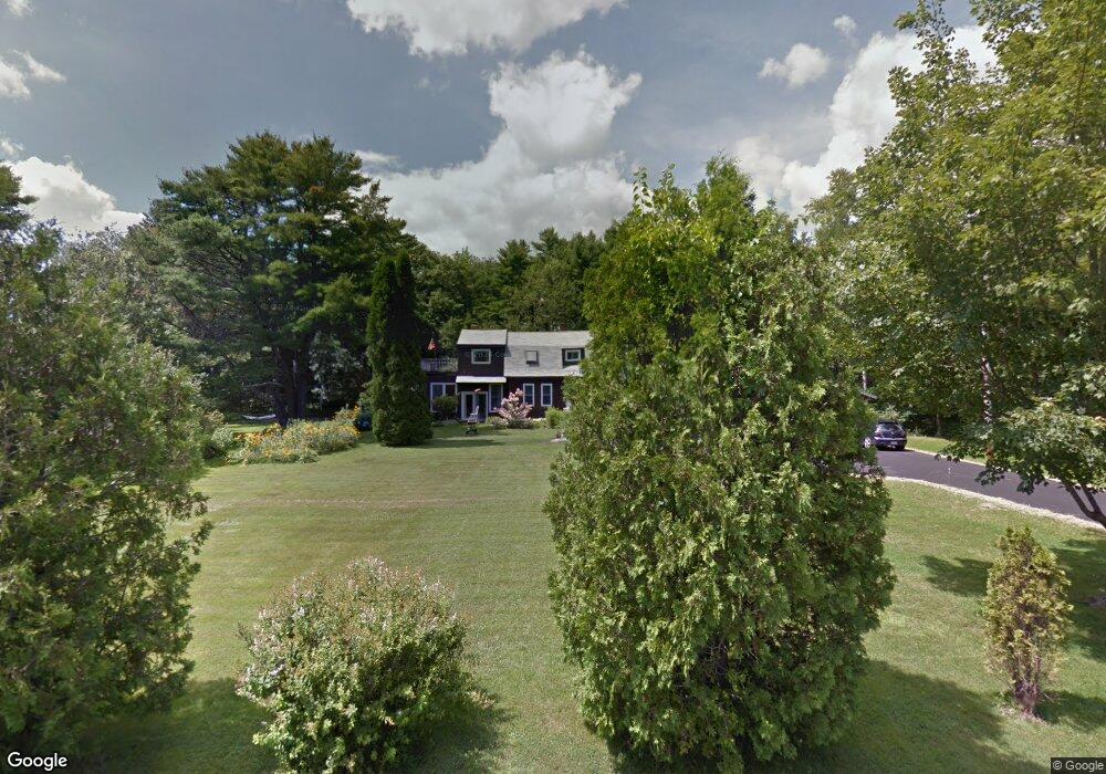
240 Lower Flying Point Rd Freeport, ME 04032
Estimated Value: $821,000
3
Beds
2
Baths
2,108
Sq Ft
$389/Sq Ft
Est. Value
About This Home
This home is located at 240 Lower Flying Point Rd, Freeport, ME 04032 and is currently priced at $821,000, approximately $389 per square foot. 240 Lower Flying Point Rd is a home located in Cumberland County with nearby schools including Morse Street School, Mast Landing School, and Freeport Middle School.
Create a Home Valuation Report for This Property
The Home Valuation Report is an in-depth analysis detailing your home's value as well as a comparison with similar homes in the area
Home Values in the Area
Average Home Value in this Area
Tax History Compared to Growth
Tax History
| Year | Tax Paid | Tax Assessment Tax Assessment Total Assessment is a certain percentage of the fair market value that is determined by local assessors to be the total taxable value of land and additions on the property. | Land | Improvement |
|---|---|---|---|---|
| 2021 | $4,639 | $378,500 | $151,900 | $226,600 |
Source: Public Records
Map
Nearby Homes
- 71 Merganser Way
- 83 Central Ave
- 34 Newfield Rd
- 46 Blackstone Club Rd
- 26 Harvest Ridge Rd Unit 24
- 1612 U S Route 1
- 11 Orchard Hill Rd
- 212 Main St
- 853 Mere Point Rd
- 15 Tinkers Way
- Map 80 Lot 18-0 White Island
- 15 Percy St
- 10 Durham Rd
- 42 Durham Rd
- 1260 Us Route 1
- Lot 129 Harpswell Neck Rd
- 0 Prout Rd
- 41 Spruce Brook Dr
- 0 Gundalo Gap Rd Unit 1638108
- 1 Mallard Pond Rd
- 246 Lower Flying Point Rd
- 230 Lower Flying Point Rd
- 231 Lower Flying Point Rd
- 252 Lower Flying Point
- 245 Lower Flying Point Rd
- 252 Lower Flying Point Rd
- 60 Shore Dr
- 94 Shore Dr
- 241 Lower Flying Point Rd
- Lot CA W Shore Dr
- C-A W Shore Dr
- 6 Byram Ave
- 93 Shore Dr
- 91 Shore Dr
- 260 Lower Flying Point Rd
- 7 Byram Ave
- 63 Shore Dr
- 56 Shore Dr
- 75 Shore Dr
- 14 Shore Dr