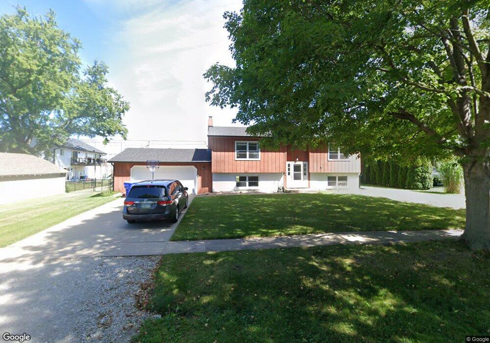
240 N George St North Liberty, IA 52317
Estimated Value: $243,000 - $284,000
4
Beds
2
Baths
1,068
Sq Ft
$248/Sq Ft
Est. Value
About This Home
This home is located at 240 N George St, North Liberty, IA 52317 and is currently estimated at $265,053, approximately $248 per square foot. 240 N George St is a home located in Johnson County with nearby schools including Penn Elementary School, North Central Junior High School, and Liberty High School.
Ownership History
Date
Name
Owned For
Owner Type
Purchase Details
Closed on
Aug 24, 2020
Sold by
Brogan Gerald M and Williams Nancy J
Bought by
Benoit Nathaniel R and Benoit Alexandra
Current Estimated Value
Home Financials for this Owner
Home Financials are based on the most recent Mortgage that was taken out on this home.
Original Mortgage
$10,350
Outstanding Balance
$5,450
Interest Rate
2.8%
Mortgage Type
New Conventional
Estimated Equity
$259,603
Create a Home Valuation Report for This Property
The Home Valuation Report is an in-depth analysis detailing your home's value as well as a comparison with similar homes in the area
Home Values in the Area
Average Home Value in this Area
Purchase History
| Date | Buyer | Sale Price | Title Company |
|---|---|---|---|
| Benoit Nathaniel R | $207,000 | None Available |
Source: Public Records
Mortgage History
| Date | Status | Borrower | Loan Amount |
|---|---|---|---|
| Open | Benoit Nathaniel R | $10,350 |
Source: Public Records
Tax History Compared to Growth
Tax History
| Year | Tax Paid | Tax Assessment Tax Assessment Total Assessment is a certain percentage of the fair market value that is determined by local assessors to be the total taxable value of land and additions on the property. | Land | Improvement |
|---|---|---|---|---|
| 2025 | $3,904 | $295,500 | $89,100 | $206,400 |
| 2024 | $3,816 | $237,200 | $89,100 | $148,100 |
| 2023 | $3,518 | $237,200 | $89,100 | $148,100 |
| 2022 | $3,334 | $190,200 | $44,600 | $145,600 |
| 2021 | $3,238 | $190,200 | $44,600 | $145,600 |
| 2020 | $3,238 | $176,400 | $44,600 | $131,800 |
| 2019 | $3,238 | $176,400 | $44,600 | $131,800 |
| 2018 | $3,172 | $176,400 | $44,600 | $131,800 |
| 2017 | $2,774 | $176,400 | $44,600 | $131,800 |
| 2016 | $2,696 | $154,500 | $44,600 | $109,900 |
| 2015 | $2,696 | $154,500 | $44,600 | $109,900 |
| 2014 | $2,478 | $142,200 | $39,600 | $102,600 |
Source: Public Records
Map
Nearby Homes
- 425 Stewart St
- 420 W Zeller St
- 20 E Zeller St
- 415 Heritage Place Unit 417
- 425 Heritage Place
- 445 Heritage Place
- 455 Heritage Place
- 285 Autumn Ct
- 144 Elm Ridge Dr
- 142 Elm Ridge Dr
- 70 Jefferson Ln Unit 70
- 110 Whitman Ave
- 270 & 280 Chestnut St
- 25 Birch Ct
- 160 Elm Ridge Ct
- Mehaffey Mehaffey Bridge Rd NE Unit Mehaffey Bridge Road
- 200 Juniper Ct
- 667 Andy Ct
- 740 Molly Dr
- 320 E Jefferson St
- 230 N George St
- 135 W Cherry St
- 125 W Cherry St
- 235 N Main St
- 210 N George St
- 235 N George St
- 245 N George St
- 310 N George St
- 225 N George St
- 130 W Cherry St
- 205 N George St
- 205 N Main St
- 220 W Cherry St
- 305 N Main St
- 320 N George St
- 223 W Cherry St
- 305* N Main St
- 160 N George St
- 115 W Walnut St
- 235 W Cherry St