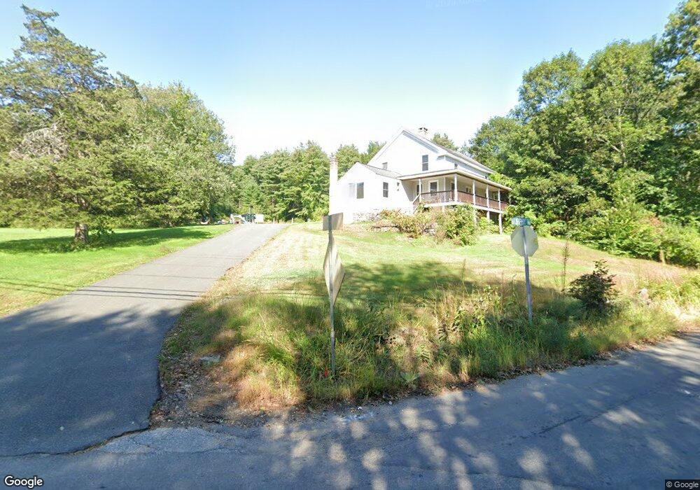
240 Orcuttville Rd Stafford Springs, CT 06076
Stafford NeighborhoodEstimated Value: $371,000 - $451,106
4
Beds
2
Baths
2,360
Sq Ft
$178/Sq Ft
Est. Value
About This Home
This home is located at 240 Orcuttville Rd, Stafford Springs, CT 06076 and is currently estimated at $421,027, approximately $178 per square foot. 240 Orcuttville Rd is a home located in Tolland County with nearby schools including Stafford Elementary School, Stafford Middle School, and Stafford High School.
Ownership History
Date
Name
Owned For
Owner Type
Purchase Details
Closed on
Mar 19, 2003
Sold by
Est Greika Frances and Greika Judy
Bought by
Davis Christine
Current Estimated Value
Home Financials for this Owner
Home Financials are based on the most recent Mortgage that was taken out on this home.
Original Mortgage
$151,110
Interest Rate
5.9%
Create a Home Valuation Report for This Property
The Home Valuation Report is an in-depth analysis detailing your home's value as well as a comparison with similar homes in the area
Home Values in the Area
Average Home Value in this Area
Purchase History
| Date | Buyer | Sale Price | Title Company |
|---|---|---|---|
| Davis Christine | $167,500 | -- |
Source: Public Records
Mortgage History
| Date | Status | Borrower | Loan Amount |
|---|---|---|---|
| Open | Davis Christine | $237,000 | |
| Closed | Davis Christine | $190,000 | |
| Closed | Davis Christine | $151,110 |
Source: Public Records
Tax History Compared to Growth
Tax History
| Year | Tax Paid | Tax Assessment Tax Assessment Total Assessment is a certain percentage of the fair market value that is determined by local assessors to be the total taxable value of land and additions on the property. | Land | Improvement |
|---|---|---|---|---|
| 2025 | $9,649 | $158,480 | $46,340 | $112,140 |
| 2024 | $6,116 | $158,480 | $46,340 | $112,140 |
| 2023 | $5,826 | $158,480 | $46,340 | $112,140 |
| 2022 | $5,670 | $158,480 | $46,340 | $112,140 |
| 2021 | $5,536 | $158,480 | $46,340 | $112,140 |
| 2020 | $5,453 | $156,100 | $59,430 | $96,670 |
| 2019 | $5,663 | $162,120 | $59,430 | $102,690 |
| 2018 | $5,554 | $162,120 | $59,430 | $102,690 |
| 2017 | $5,501 | $162,120 | $59,430 | $102,690 |
| 2016 | $5,433 | $162,120 | $59,430 | $102,690 |
| 2015 | $5,433 | $148,610 | $59,430 | $89,180 |
| 2014 | $4,909 | $148,610 | $59,430 | $89,180 |
Source: Public Records
Map
Nearby Homes
- 236 Orcuttville Rd
- 241 Orcuttville Rd
- 6 Murphy Rd
- 250 Orcuttville Rd
- 237 Orcuttville Rd
- 179 Furnace Ave
- 225 Orcuttville Rd
- 230 Orcuttville Rd
- 232 Orcuttville Rd
- 261 Orcuttville Rd
- 11 Murphy Rd
- 224 Orcuttville Rd
- 175 Furnace Ave
- 257 Orcuttville Rd
- 262 Orcuttville Rd
- 176 Furnace Ave
- 13 Murphy Rd
- 173 Furnace Ave
- 102W Roaring Brook Coop Campground
- 21 Wales Rd - Lakeview!!!