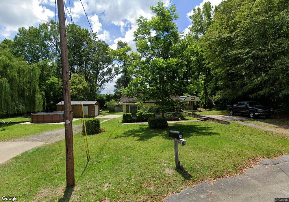
240 Wilson St Batesburg, SC 29006
Estimated Value: $117,123 - $178,000
3
Beds
1
Bath
1,068
Sq Ft
$131/Sq Ft
Est. Value
About This Home
This home is located at 240 Wilson St, Batesburg, SC 29006 and is currently estimated at $139,781, approximately $130 per square foot. 240 Wilson St is a home located in Lexington County with nearby schools including Batesburg-Leesville Primary School, Batesburg-Leesville Elementary School, and Batesburg-Leesville Middle School.
Ownership History
Date
Name
Owned For
Owner Type
Purchase Details
Closed on
Sep 27, 2013
Sold by
Davis Floyd and Davis William Floyd
Bought by
Davis William Floyd and Davis Livvie
Current Estimated Value
Purchase Details
Closed on
Oct 17, 2003
Sold by
Kelly Mary H
Bought by
Davis Floyd
Purchase Details
Closed on
Jun 20, 2002
Sold by
Davis Floyd
Bought by
Kelly Mary Helen
Purchase Details
Closed on
Jun 13, 2002
Sold by
Bank Of America Na
Bought by
Taylor Joel H
Purchase Details
Closed on
May 28, 1999
Sold by
First Bank National Assoc
Bought by
Davis Floyd
Purchase Details
Closed on
Sep 10, 1998
Sold by
Master In Equity
Bought by
Cityscape Corp
Create a Home Valuation Report for This Property
The Home Valuation Report is an in-depth analysis detailing your home's value as well as a comparison with similar homes in the area
Home Values in the Area
Average Home Value in this Area
Purchase History
| Date | Buyer | Sale Price | Title Company |
|---|---|---|---|
| Davis William Floyd | -- | -- | |
| Davis Floyd | -- | -- | |
| Kelly Mary Helen | $68,000 | -- | |
| Taylor Joel H | $62,000 | -- | |
| Davis Floyd | $14,000 | -- | |
| Cityscape Corp | $23,980 | -- |
Source: Public Records
Tax History Compared to Growth
Tax History
| Year | Tax Paid | Tax Assessment Tax Assessment Total Assessment is a certain percentage of the fair market value that is determined by local assessors to be the total taxable value of land and additions on the property. | Land | Improvement |
|---|---|---|---|---|
| 2024 | $1,057 | $2,049 | $600 | $1,449 |
| 2023 | $1,057 | $2,049 | $600 | $1,449 |
| 2022 | $1,053 | $2,049 | $600 | $1,449 |
| 2020 | $1,008 | $2,049 | $600 | $1,449 |
| 2019 | $1,018 | $1,931 | $360 | $1,571 |
| 2018 | $978 | $1,931 | $360 | $1,571 |
| 2017 | $959 | $1,931 | $360 | $1,571 |
| 2016 | $908 | $1,930 | $360 | $1,570 |
| 2014 | $959 | $2,040 | $360 | $1,680 |
| 2013 | -- | $2,040 | $360 | $1,680 |
Source: Public Records
Map
Nearby Homes
- 241 W Church St
- 247 W Church St
- 301 W Church St
- 329 W Railroad Ave
- 337 Mill St
- 605 W Church St
- 360 W Church St
- 364 Rikard St
- 0 Mitchell St
- 411 Wilson St
- 354 Hill St
- TBD Liberty St
- 0 Hendrix St
- 318 Summerland Ave
- 102 Burgundy Ct
- 0 Summerland Ave
- 201 Fox St
- 303 Nell St
- 689 W Columbia Ave
- 695 W Columbia Ave
- 115 Sulton St
- 114 Sulton St
- 114 Sulton St Unit A-B
- 113 Sulton St
- 109 Sulton St
- 108 Sulton St
- 105 Sulton St
- 106 Sulton St
- 244 W Columbia Ave
- 226 W Columbia Ave
- 288 Howard St
- 300 Wilson St
- 0 Brookwood Dr
- 305 Howard St
- 420 Wilson St
- 161 Brookwood Dr
- 310 Wilson St
- 260 Dogwood Dr
- 314 Wilson St
- 311 W Columbia Ave