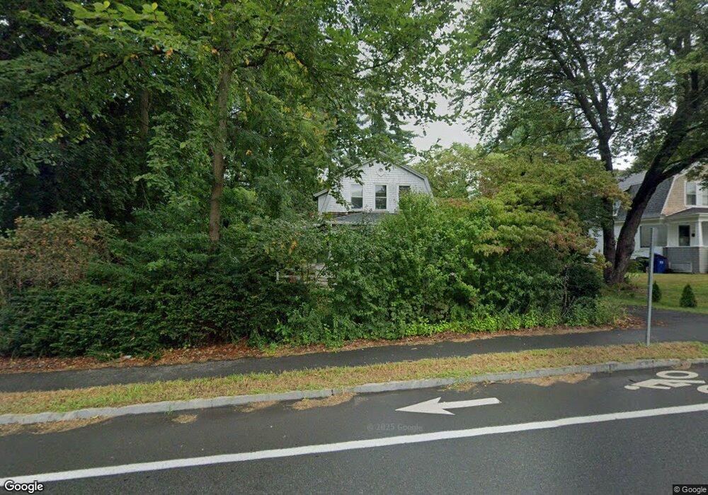
241 Northampton Rd Amherst, MA 01002
Estimated Value: $394,000 - $679,000
3
Beds
2
Baths
1,428
Sq Ft
$350/Sq Ft
Est. Value
About This Home
This home is located at 241 Northampton Rd, Amherst, MA 01002 and is currently estimated at $499,833, approximately $350 per square foot. 241 Northampton Rd is a home located in Hampshire County with nearby schools including Crocker Farm Elementary School, Amherst Regional Middle School, and Amherst Regional High School.
Ownership History
Date
Name
Owned For
Owner Type
Purchase Details
Closed on
Nov 24, 1993
Sold by
Keenan David T
Bought by
Northampton Coop Bk
Current Estimated Value
Purchase Details
Closed on
Jun 30, 1993
Sold by
Amherst Svgs Rlty Corp
Bought by
Hart Rita Faye
Home Financials for this Owner
Home Financials are based on the most recent Mortgage that was taken out on this home.
Original Mortgage
$35,000
Interest Rate
7.46%
Mortgage Type
Purchase Money Mortgage
Purchase Details
Closed on
Nov 10, 1992
Sold by
Keenan David T
Bought by
Amherst Svgs Rlty Corp
Purchase Details
Closed on
Sep 1, 1992
Sold by
Keenan David T
Bought by
Amherst Svgs Rlty Corp
Create a Home Valuation Report for This Property
The Home Valuation Report is an in-depth analysis detailing your home's value as well as a comparison with similar homes in the area
Home Values in the Area
Average Home Value in this Area
Purchase History
| Date | Buyer | Sale Price | Title Company |
|---|---|---|---|
| Northampton Coop Bk | $80,000 | -- | |
| Northampton Coop Bk | $110,000 | -- | |
| Hart Rita Faye | $91,000 | -- | |
| Amherst Svgs Rlty Corp | $75,000 | -- | |
| Amherst Svgs Rlty Corp | $150,000 | -- |
Source: Public Records
Mortgage History
| Date | Status | Borrower | Loan Amount |
|---|---|---|---|
| Previous Owner | Amherst Svgs Rlty Corp | $35,000 |
Source: Public Records
Tax History Compared to Growth
Tax History
| Year | Tax Paid | Tax Assessment Tax Assessment Total Assessment is a certain percentage of the fair market value that is determined by local assessors to be the total taxable value of land and additions on the property. | Land | Improvement |
|---|---|---|---|---|
| 2025 | $70 | $392,600 | $206,100 | $186,500 |
| 2024 | $6,867 | $371,000 | $194,500 | $176,500 |
| 2023 | $6,601 | $328,400 | $176,900 | $151,500 |
| 2022 | $6,296 | $296,000 | $160,800 | $135,200 |
| 2021 | $5,981 | $274,100 | $148,900 | $125,200 |
| 2020 | $5,844 | $274,100 | $148,900 | $125,200 |
| 2019 | $5,729 | $262,800 | $148,900 | $113,900 |
| 2018 | $5,556 | $262,800 | $148,900 | $113,900 |
| 2017 | $5,447 | $249,500 | $141,900 | $107,600 |
| 2016 | $5,294 | $249,500 | $141,900 | $107,600 |
| 2015 | $5,125 | $249,500 | $141,900 | $107,600 |
Source: Public Records
Map
Nearby Homes
- 26 Greenleaves Dr Unit 620
- 18 N Prospect St
- 65 N Prospect St
- 48 Gray St
- 161 Chestnut St
- 170 E Hadley Rd Unit 123
- 170 E Hadley Rd Unit 46
- 0 Red Gate Ln Unit 73348273
- 328 Russell St
- 265 Stanley St
- 305 Strong St
- 88 Farview Way
- 0 W Pomeroy Ln
- 500 West St Unit 6
- 39 Valley Ln
- 551 West St
- 7 Roosevelt St
- 53 Pine Grove Unit 53
- 66 Longmeadow Dr
- 324 Pomeroy Ln
- 235 Northampton Rd
- 247 Northampton Rd
- 240 Northampton Rd
- 255 Northampton Rd
- 227 Northampton Rd
- 263 Northampton Rd
- 221 Northampton Rd
- 250 Northampton Rd
- 15 Hazel Ave
- 215 Northampton Rd
- 260 Northampton Rd
- 271 Northampton Rd
- 21 Hazel Ave
- 29 Hazel Ave
- 119 Blue Hills Rd
- 199 Northampton Rd
- 277 Northampton Rd
- 35 Hazel Ave
- 193 Northampton Rd
- 39 Hazel Ave