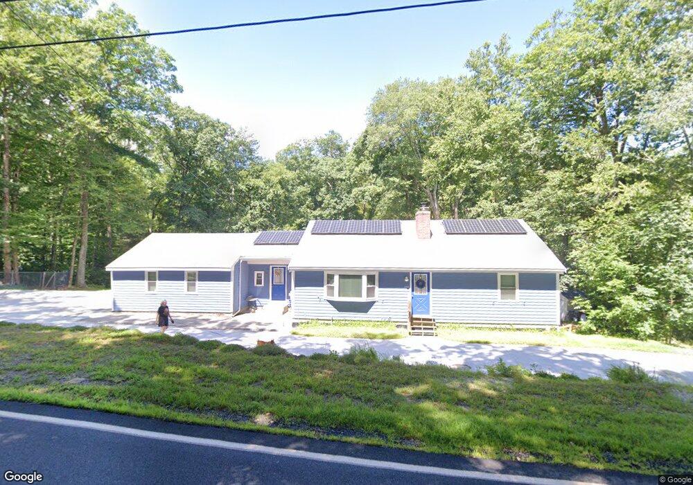
242 Fowler Rd Northbridge, MA 01534
Estimated Value: $446,000 - $525,000
3
Beds
3
Baths
1,120
Sq Ft
$430/Sq Ft
Est. Value
About This Home
This home is located at 242 Fowler Rd, Northbridge, MA 01534 and is currently estimated at $482,052, approximately $430 per square foot. 242 Fowler Rd is a home located in Worcester County with nearby schools including Northbridge Elementary School, Northbridge Middle School, and Northbridge High School.
Ownership History
Date
Name
Owned For
Owner Type
Purchase Details
Closed on
May 1, 2019
Sold by
Blanchard Nathan R and Blanchard Samson A
Bought by
Blanchard Nathan R and Blanchard Janet
Current Estimated Value
Purchase Details
Closed on
Jun 20, 2014
Sold by
Blanchard Nathan
Bought by
Blanchard Nathan and Blanchard Samson A
Purchase Details
Closed on
Jun 24, 1988
Sold by
Cutler Joseph E
Bought by
Blanchard Nathan
Create a Home Valuation Report for This Property
The Home Valuation Report is an in-depth analysis detailing your home's value as well as a comparison with similar homes in the area
Home Values in the Area
Average Home Value in this Area
Purchase History
| Date | Buyer | Sale Price | Title Company |
|---|---|---|---|
| Blanchard Nathan R | -- | -- | |
| Blanchard Nathan R | -- | -- | |
| Blanchard Nathan | -- | -- | |
| Blanchard Nathan | -- | -- | |
| Blanchard Nathan | $142,500 | -- |
Source: Public Records
Mortgage History
| Date | Status | Borrower | Loan Amount |
|---|---|---|---|
| Previous Owner | Blanchard Nathan | $163,200 | |
| Previous Owner | Blanchard Nathan | $10,000 |
Source: Public Records
Tax History Compared to Growth
Tax History
| Year | Tax Paid | Tax Assessment Tax Assessment Total Assessment is a certain percentage of the fair market value that is determined by local assessors to be the total taxable value of land and additions on the property. | Land | Improvement |
|---|---|---|---|---|
| 2025 | $4,710 | $399,500 | $171,900 | $227,600 |
| 2024 | $4,566 | $377,700 | $171,900 | $205,800 |
| 2023 | $4,742 | $365,900 | $171,900 | $194,000 |
| 2022 | $4,124 | $299,500 | $135,900 | $163,600 |
| 2021 | $3,996 | $275,800 | $129,500 | $146,300 |
| 2020 | $3,735 | $269,900 | $129,500 | $140,400 |
| 2019 | $3,384 | $260,900 | $129,500 | $131,400 |
| 2018 | $6,884 | $249,500 | $123,900 | $125,600 |
| 2017 | $3,215 | $240,700 | $123,900 | $116,800 |
| 2016 | $3,065 | $222,900 | $113,200 | $109,700 |
| 2015 | $2,982 | $222,900 | $113,200 | $109,700 |
| 2014 | $2,956 | $222,900 | $113,200 | $109,700 |
Source: Public Records
Map
Nearby Homes
- 151 Fowler Rd
- 119 Susanne Dr
- 1880 Providence Rd
- 79-81 Upton St
- 135 Windstone Dr
- 1076 Hill St
- 2767 Providence Rd
- 0 Puddon St
- 1825 Quaker St
- 86 Mikes Way Unit 86
- 84 Mikes Way Unit 84
- 1540 Quaker St
- 395 Providence Rd Unit 4
- 150 Sprague St
- 86 Kingsnorth St
- 19 Milford Rd
- 73 Plummer Ave
- 61 Tulip Cir
- 89 Buttercup Ln Unit 255
- 192 Rebecca Rd