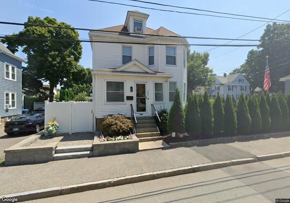
242 Lowell St Waltham, MA 02453
South Side NeighborhoodEstimated Value: $755,777 - $861,000
2
Beds
2
Baths
1,615
Sq Ft
$497/Sq Ft
Est. Value
About This Home
This home is located at 242 Lowell St, Waltham, MA 02453 and is currently estimated at $802,944, approximately $497 per square foot. 242 Lowell St is a home located in Middlesex County with nearby schools including Henry Whittemore Elementary School, John W. Mcdevitt Middle School, and Waltham Sr High School.
Ownership History
Date
Name
Owned For
Owner Type
Purchase Details
Closed on
Jul 5, 2018
Sold by
Gallutia Julie
Bought by
Barone Cyndie
Current Estimated Value
Purchase Details
Closed on
Sep 9, 2015
Sold by
Barone Cyndie
Bought by
Gallutia Julie and Barone Cyndie
Purchase Details
Closed on
Feb 26, 1993
Sold by
Mazzola Rose M Est and Weaver
Bought by
Barone Cyndie
Create a Home Valuation Report for This Property
The Home Valuation Report is an in-depth analysis detailing your home's value as well as a comparison with similar homes in the area
Home Values in the Area
Average Home Value in this Area
Purchase History
| Date | Buyer | Sale Price | Title Company |
|---|---|---|---|
| Barone Cyndie | -- | -- | |
| Gallutia Julie | -- | -- | |
| Barone Cyndie | $150,000 | -- |
Source: Public Records
Mortgage History
| Date | Status | Borrower | Loan Amount |
|---|---|---|---|
| Previous Owner | Barone Cyndie | $144,000 | |
| Previous Owner | Barone Cyndie | $143,500 |
Source: Public Records
Tax History Compared to Growth
Tax History
| Year | Tax Paid | Tax Assessment Tax Assessment Total Assessment is a certain percentage of the fair market value that is determined by local assessors to be the total taxable value of land and additions on the property. | Land | Improvement |
|---|---|---|---|---|
| 2025 | $6,387 | $650,400 | $363,100 | $287,300 |
| 2024 | $6,226 | $645,800 | $363,100 | $282,700 |
| 2023 | $6,057 | $586,900 | $330,700 | $256,200 |
| 2022 | $6,176 | $554,400 | $302,000 | $252,400 |
| 2021 | $5,684 | $502,100 | $273,200 | $228,900 |
| 2020 | $5,723 | $478,900 | $258,800 | $220,100 |
| 2019 | $5,392 | $425,900 | $256,300 | $169,600 |
| 2018 | $4,971 | $394,200 | $237,300 | $156,900 |
| 2017 | $4,680 | $372,600 | $215,700 | $156,900 |
| 2016 | $4,252 | $347,400 | $190,500 | $156,900 |
| 2015 | $4,514 | $343,800 | $186,900 | $156,900 |
Source: Public Records
Map
Nearby Homes
- 31-37 Washington Ave
- 24 Tolman St Unit A
- 11 Derby St
- 73 Orange St Unit 2
- 47 Alder St Unit 6
- 40 Myrtle St Unit 9
- 81 Alder St
- 15 Alder St Unit 1
- 42 Alder St
- 138 Myrtle St Unit 2
- 162 Myrtle St Unit 1
- 312 Newton St Unit 1A
- 308 Newton St Unit 1
- 265-267 River St Unit 267
- 265-267 River St Unit 265
- 101-103 Lexington St
- 61 Hall St Unit 1
- 61 Hall St Unit 9
- 61 Hall St Unit 2
- 61 Hall St Unit 7
- 230 Lowell St Unit 2
- 230 Lowell St Unit 1
- 10 Crafts St
- 248 Lowell St
- 14 Crafts St
- 67 Washington Ave
- 63 Washington Ave
- 245 Lowell St Unit 2B
- 245 Lowell St
- 245 Lowell St Unit 3
- 245 Lowell St Unit 2
- 233 Lowell St Unit 3
- 233 Lowell St Unit 2
- 233 Lowell St Unit 1
- 873 Washington Ave
- 7 Crafts St
- 254 Lowell St
- 241 Lowell St
- 241 Lowell St Unit 2
- 75 Washington Ave