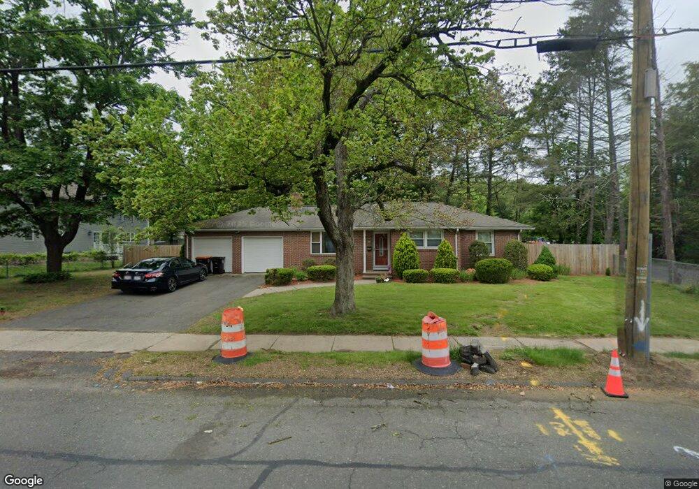
242 Maple St Agawam, MA 01001
Estimated Value: $298,000 - $350,000
3
Beds
2
Baths
1,280
Sq Ft
$256/Sq Ft
Est. Value
About This Home
This home is located at 242 Maple St, Agawam, MA 01001 and is currently estimated at $327,753, approximately $256 per square foot. 242 Maple St is a home located in Hampden County with nearby schools including Agawam Junior High School, Agawam High School, and St Thomas The Apostle School.
Ownership History
Date
Name
Owned For
Owner Type
Purchase Details
Closed on
Jan 20, 2010
Sold by
Sharpy Dean M
Bought by
Racette Jami
Current Estimated Value
Purchase Details
Closed on
Feb 29, 2000
Sold by
Silvestrini A A Est
Bought by
Sharpy Dean M
Home Financials for this Owner
Home Financials are based on the most recent Mortgage that was taken out on this home.
Original Mortgage
$110,400
Interest Rate
8.15%
Mortgage Type
Purchase Money Mortgage
Create a Home Valuation Report for This Property
The Home Valuation Report is an in-depth analysis detailing your home's value as well as a comparison with similar homes in the area
Home Values in the Area
Average Home Value in this Area
Purchase History
| Date | Buyer | Sale Price | Title Company |
|---|---|---|---|
| Racette Jami | $207,100 | -- | |
| Sharpy Dean M | $138,000 | -- |
Source: Public Records
Mortgage History
| Date | Status | Borrower | Loan Amount |
|---|---|---|---|
| Previous Owner | Sharpy Dean M | $111,500 | |
| Previous Owner | Sharpy Dean M | $110,400 |
Source: Public Records
Tax History Compared to Growth
Tax History
| Year | Tax Paid | Tax Assessment Tax Assessment Total Assessment is a certain percentage of the fair market value that is determined by local assessors to be the total taxable value of land and additions on the property. | Land | Improvement |
|---|---|---|---|---|
| 2025 | $4,490 | $306,700 | $103,500 | $203,200 |
| 2024 | $4,433 | $304,900 | $103,500 | $201,400 |
| 2023 | $4,082 | $258,700 | $85,100 | $173,600 |
| 2022 | $3,891 | $241,500 | $85,100 | $156,400 |
| 2021 | $3,770 | $224,400 | $74,500 | $149,900 |
| 2020 | $3,687 | $219,100 | $73,400 | $145,700 |
| 2019 | $3,575 | $214,700 | $71,900 | $142,800 |
| 2018 | $3,387 | $203,900 | $71,900 | $132,000 |
| 2017 | $3,208 | $196,700 | $71,900 | $124,800 |
| 2016 | $3,142 | $194,200 | $71,900 | $122,300 |
| 2015 | $2,969 | $188,600 | $71,900 | $116,700 |
Source: Public Records
Map
Nearby Homes
- 335-337 Springfield St
- 25 Damato Way
- 25 Hillcrest St
- 56 Taft St
- 138 Suffield St
- 456 Cold Spring Ave Unit 2A
- 31 Colony Rd
- 51 Reed St
- 86 York St
- 354 Rowley St
- 14 Greenacre Ln
- 120 Hampden St
- 64 Blairs Hill Rd
- Lot 10 Ahiska Rd
- 56 Exposition Terrace
- 21 High St
- 30 Chestnut St
- 83 Fairview St
- 712 Cooper St
- 36 Maple Terrace