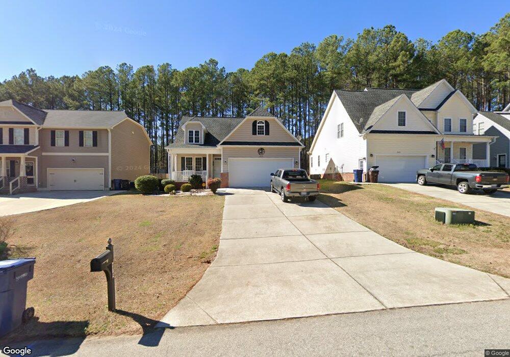
2425 Westgate Dr Sanford, NC 27330
Estimated Value: $333,780 - $357,000
3
Beds
2
Baths
1,776
Sq Ft
$196/Sq Ft
Est. Value
About This Home
This home is located at 2425 Westgate Dr, Sanford, NC 27330 and is currently estimated at $347,695, approximately $195 per square foot. 2425 Westgate Dr is a home located in Lee County with nearby schools including J.R. Ingram Jr. Elementary School, West Lee Middle School, and Lee County High School.
Ownership History
Date
Name
Owned For
Owner Type
Purchase Details
Closed on
Apr 26, 2007
Sold by
Seal Construction Co Inc
Bought by
Degroat Albert and Degroat Diane L
Current Estimated Value
Home Financials for this Owner
Home Financials are based on the most recent Mortgage that was taken out on this home.
Original Mortgage
$167,920
Outstanding Balance
$101,750
Interest Rate
6.1%
Mortgage Type
New Conventional
Estimated Equity
$245,945
Purchase Details
Closed on
Feb 28, 2003
Bought by
W-B Developers Llc
Create a Home Valuation Report for This Property
The Home Valuation Report is an in-depth analysis detailing your home's value as well as a comparison with similar homes in the area
Home Values in the Area
Average Home Value in this Area
Purchase History
| Date | Buyer | Sale Price | Title Company |
|---|---|---|---|
| Degroat Albert | $210,000 | None Available | |
| W-B Developers Llc | -- | -- |
Source: Public Records
Mortgage History
| Date | Status | Borrower | Loan Amount |
|---|---|---|---|
| Open | Degroat Albert | $167,920 |
Source: Public Records
Tax History Compared to Growth
Tax History
| Year | Tax Paid | Tax Assessment Tax Assessment Total Assessment is a certain percentage of the fair market value that is determined by local assessors to be the total taxable value of land and additions on the property. | Land | Improvement |
|---|---|---|---|---|
| 2025 | -- | $307,300 | $42,000 | $265,300 |
| 2024 | -- | $307,300 | $42,000 | $265,300 |
| 2023 | $3,025 | $307,300 | $42,000 | $265,300 |
| 2022 | $3,025 | $200,400 | $30,000 | $170,400 |
| 2021 | $3,076 | $200,400 | $30,000 | $170,400 |
| 2020 | $3,066 | $200,400 | $30,000 | $170,400 |
| 2019 | $3,026 | $200,400 | $30,000 | $170,400 |
| 2018 | $3,130 | $205,300 | $29,000 | $176,300 |
| 2017 | $3,089 | $205,300 | $29,000 | $176,300 |
| 2016 | $3,064 | $205,300 | $29,000 | $176,300 |
| 2014 | $2,910 | $205,300 | $29,000 | $176,300 |
Source: Public Records
Map
Nearby Homes
- 2600 Taton Ct
- 2313 Weatherwood Ct
- 2305 Weatherwood Ct
- 2313 Grassmere Ct
- 2043 Plantation Dr
- 2018 Sutphin Rd
- 3003 Carbonton Rd
- 0 Carbonton Rd Unit 100529193
- 0 Carbonton Rd Unit 749750
- 0 Carbonton Rd Unit 24371434
- 2400 Carbonton Rd
- 0 Cool Springs Rd Unit 744558
- 0 Lot B Carbonton Rd
- 2712 Pebblebrook Dr
- 3111 Pine Lake Dr
- 0 Lot A Carbonton Rd
- 1705 Lord Ashley Dr
- 3022 Carrington Ln
- 503 N Franklin Dr
- 3027 Carrington Ln
- 2421 Gates St
- 2421 Westgate Dr
- 2421 Westgate Dr Unit 22
- 2417 Westgate Dr Unit 21
- 2417 Westgate Dr
- 2424 Westgate Dr
- 2429 Westgate Dr
- 2433 Westgate Dr
- 2413 Westgate Dr
- 2604 Taton Ct
- 2604 Taton Ct Unit 18
- 2437 Westgate Dr
- 2437 Westgate Dr Unit 26
- 2412 Westgate Dr
- 2409 Westgate Dr
- 2608 Taton (Lot 17) Ct
- 2608 Taton Ct
- 2608 Taton Ct Unit 17
- 2624 Westgate Dr
- 2620 Westgate Dr