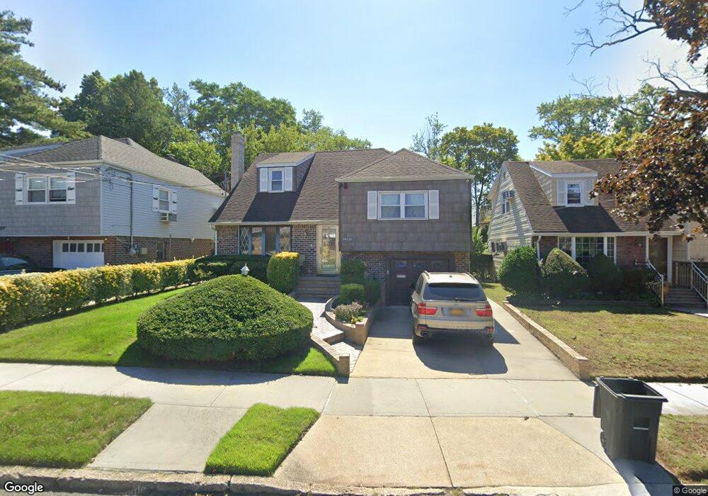
24310 129th Ave Rosedale, NY 11422
Rosedale NeighborhoodEstimated Value: $695,596 - $793,000
--
Bed
--
Bath
2,271
Sq Ft
$334/Sq Ft
Est. Value
About This Home
This home is located at 24310 129th Ave, Rosedale, NY 11422 and is currently estimated at $758,149, approximately $333 per square foot. 24310 129th Ave is a home located in Queens County with nearby schools including P.S. 38 - Rosedale, Collaborative Arts Middle School, and Hamza Academy.
Ownership History
Date
Name
Owned For
Owner Type
Purchase Details
Closed on
Oct 1, 1999
Sold by
Watson Clive
Bought by
Mckenzie Winston and Mckenzie Mayleen
Current Estimated Value
Home Financials for this Owner
Home Financials are based on the most recent Mortgage that was taken out on this home.
Original Mortgage
$216,000
Outstanding Balance
$64,721
Interest Rate
7.73%
Estimated Equity
$693,428
Create a Home Valuation Report for This Property
The Home Valuation Report is an in-depth analysis detailing your home's value as well as a comparison with similar homes in the area
Home Values in the Area
Average Home Value in this Area
Purchase History
| Date | Buyer | Sale Price | Title Company |
|---|---|---|---|
| Mckenzie Winston | $240,000 | Long Island Title Agency |
Source: Public Records
Mortgage History
| Date | Status | Borrower | Loan Amount |
|---|---|---|---|
| Open | Mckenzie Winston | $216,000 |
Source: Public Records
Tax History Compared to Growth
Tax History
| Year | Tax Paid | Tax Assessment Tax Assessment Total Assessment is a certain percentage of the fair market value that is determined by local assessors to be the total taxable value of land and additions on the property. | Land | Improvement |
|---|---|---|---|---|
| 2025 | $6,383 | $35,167 | $6,269 | $28,898 |
| 2024 | $6,395 | $33,178 | $6,513 | $26,665 |
| 2023 | $6,070 | $31,622 | $5,284 | $26,338 |
| 2022 | $6,126 | $40,260 | $7,680 | $32,580 |
| 2021 | $6,241 | $35,220 | $7,680 | $27,540 |
| 2020 | $5,907 | $37,800 | $7,680 | $30,120 |
| 2019 | $5,491 | $39,540 | $7,680 | $31,860 |
| 2018 | $5,074 | $26,352 | $4,990 | $21,362 |
| 2017 | $5,072 | $26,352 | $6,425 | $19,927 |
| 2016 | $4,865 | $26,352 | $6,425 | $19,927 |
| 2015 | $2,975 | $24,422 | $5,827 | $18,595 |
| 2014 | $2,975 | $23,040 | $6,600 | $16,440 |
Source: Public Records
Map
Nearby Homes
- 128-35 Brookville Blvd
- 24016 128th Rd
- 128-36 Hook Creek Blvd
- 128- 60 236th St
- 63 Cumberland Place
- 11 Jefferson Ave
- 130-21 235th St
- 12810 236th St
- 234-16 130th Ave
- 121-18 238th St
- 51 Sobro Ave
- 12819 234th St
- 11 Dewitt St
- 132-29 Brookville Blvd
- 131-30 Laurelton Pkwy Unit Upper
- 12831 233rd St
- 128-23 233rd St
- 131- 44 Laurelton Pkwy Unit Lower
- 131-09 234th St Unit Lower Level
- 64 Ormonde Blvd
- 24304 129th Ave
- 24314 129th Ave
- 24017 129th Rd
- 24204 129th Ave
- 243-07 129th Ave
- 24307 129th Ave
- 24311 129th Ave
- 24315 129th Ave
- 12915 Brookville Blvd
- 12869 Brookville Blvd
- 24319 129th Ave
- 24022 129th Rd
- 24015 129th Rd
- 242-04 129th Ave
- 24238 129th Rd
- 24323 129th Ave
- 12865 Brookville Blvd
- 12917 Brookville Blvd
- 12929 Brookville Blvd
- 24329 129th Ave