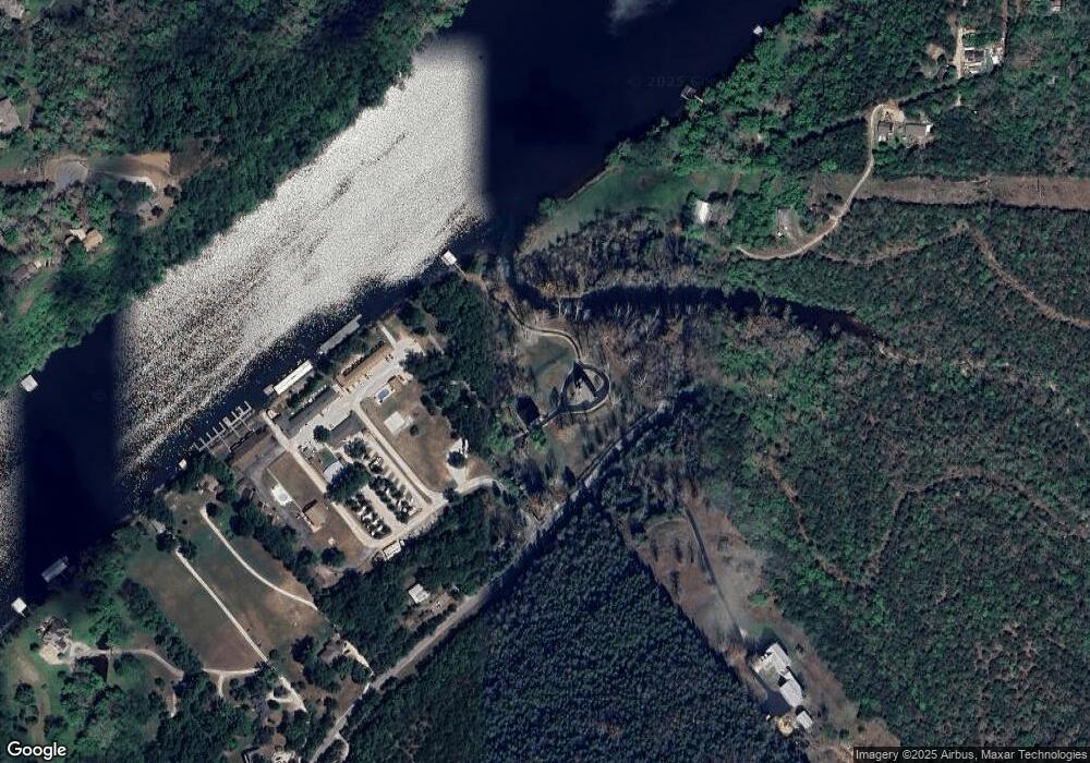
2451 Lake Shore Dr Branson, MO 65616
Estimated Value: $407,000 - $601,000
--
Bed
--
Bath
1,681
Sq Ft
$295/Sq Ft
Est. Value
About This Home
This home is located at 2451 Lake Shore Dr, Branson, MO 65616 and is currently estimated at $496,069, approximately $295 per square foot. 2451 Lake Shore Dr is a home with nearby schools including Cedar Ridge Primary, Cedar Ridge Intermediate School, and Cedar Ridge Elementary School.
Ownership History
Date
Name
Owned For
Owner Type
Purchase Details
Closed on
Jun 18, 2020
Sold by
Strong James A and Strong Carrie A
Bought by
Strong James A and Revocab Carrie
Current Estimated Value
Home Financials for this Owner
Home Financials are based on the most recent Mortgage that was taken out on this home.
Original Mortgage
$235,500
Outstanding Balance
$121,251
Interest Rate
3.2%
Mortgage Type
New Conventional
Estimated Equity
$374,818
Purchase Details
Closed on
Apr 5, 2005
Sold by
Meade Beverly A and The Richard A Meade And Beverl
Bought by
Strong James A and Strong Carrie A
Create a Home Valuation Report for This Property
The Home Valuation Report is an in-depth analysis detailing your home's value as well as a comparison with similar homes in the area
Home Values in the Area
Average Home Value in this Area
Purchase History
| Date | Buyer | Sale Price | Title Company |
|---|---|---|---|
| Strong James A | -- | Ntc | |
| Strong James A | -- | -- |
Source: Public Records
Mortgage History
| Date | Status | Borrower | Loan Amount |
|---|---|---|---|
| Open | Strong James A | $235,500 |
Source: Public Records
Tax History Compared to Growth
Tax History
| Year | Tax Paid | Tax Assessment Tax Assessment Total Assessment is a certain percentage of the fair market value that is determined by local assessors to be the total taxable value of land and additions on the property. | Land | Improvement |
|---|---|---|---|---|
| 2025 | $3,079 | $53,580 | -- | -- |
| 2023 | $3,079 | $59,350 | $0 | $0 |
| 2022 | $2,651 | $52,570 | $0 | $0 |
| 2021 | $2,637 | $52,570 | $0 | $0 |
| 2019 | $2,391 | $46,470 | $0 | $0 |
| 2018 | $2,395 | $46,470 | $0 | $0 |
| 2017 | $2,405 | $47,130 | $0 | $0 |
| 2016 | $2,400 | $47,130 | $0 | $0 |
| 2015 | $2,597 | $51,430 | $0 | $0 |
| 2014 | $2,386 | $49,410 | $0 | $0 |
Source: Public Records
Map
Nearby Homes
- 272 Valencia Rd Unit 2
- 272 Valencia Rd Unit 1
- 7863 Cozy Cove Rd
- 7808 Cozy Cove Rd
- 435 Lookout Ridge Rd
- 163 Monarch Ln
- 118 Woodward Dr
- 245 William Place
- 78 Cozy Cove Rd Unit 45
- 165 Gloria Ct
- 7809 Cozy Cove Rd
- 000 Delilio Unit Lot 3
- 1413 Riverstone Dr
- 1206 Riverstone Dr
- 389 Wilson Rd
- Lot 11 Oak Bluff Rd
- 364 West Rd
- 2016 Timberlake Rd
- 000 North St
- 964 Beeler Rd
- 229 Afton Ln
- 403 Valencia Rd
- 191 Afton Ln
- 9-12 Branson Commerce Pky Executi
- 123 Afton Ln
- 555 Thistle Rd
- 365 Valencia Rd
- Lot 2 Valencia Rd
- 000 Valencia Rd
- 283 Valencia Rd
- 327 Valencia Rd Unit 3 & 4
- 327 Valencia Rd
- 589 Thistle Rd
- 2277 Lake Shore Dr
- 2 Valencia
- 2450 Lake Shore Dr
- 293 Valencia Rd
- 786 Oak Bluff Rd
- 522 Thistle Rd
- 2191 Lake Shore Dr
