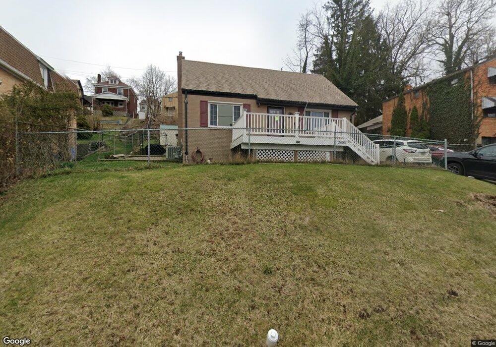
2453 Woodward Ave Pittsburgh, PA 15226
Brookline NeighborhoodEstimated Value: $185,000 - $232,909
3
Beds
2
Baths
1,306
Sq Ft
$164/Sq Ft
Est. Value
About This Home
This home is located at 2453 Woodward Ave, Pittsburgh, PA 15226 and is currently estimated at $214,477, approximately $164 per square foot. 2453 Woodward Ave is a home located in Allegheny County with nearby schools including Pittsburgh West Liberty K-5, Pittsburgh South Brook, and Pittsburgh Carrick High School.
Ownership History
Date
Name
Owned For
Owner Type
Purchase Details
Closed on
Apr 13, 2010
Sold by
Paisley Charlene C
Bought by
Didion Lisa M
Current Estimated Value
Home Financials for this Owner
Home Financials are based on the most recent Mortgage that was taken out on this home.
Original Mortgage
$86,400
Outstanding Balance
$57,545
Interest Rate
5%
Mortgage Type
FHA
Estimated Equity
$156,932
Purchase Details
Closed on
Dec 27, 1995
Sold by
Mannella Kenneth E and Goen Woodrow W
Bought by
Paisley Charlene C
Create a Home Valuation Report for This Property
The Home Valuation Report is an in-depth analysis detailing your home's value as well as a comparison with similar homes in the area
Home Values in the Area
Average Home Value in this Area
Purchase History
| Date | Buyer | Sale Price | Title Company |
|---|---|---|---|
| Didion Lisa M | $88,000 | -- | |
| Paisley Charlene C | $42,000 | -- |
Source: Public Records
Mortgage History
| Date | Status | Borrower | Loan Amount |
|---|---|---|---|
| Open | Didion Lisa M | $86,400 |
Source: Public Records
Tax History Compared to Growth
Tax History
| Year | Tax Paid | Tax Assessment Tax Assessment Total Assessment is a certain percentage of the fair market value that is determined by local assessors to be the total taxable value of land and additions on the property. | Land | Improvement |
|---|---|---|---|---|
| 2025 | $1,560 | $67,700 | $26,200 | $41,500 |
| 2024 | $1,560 | $67,700 | $26,200 | $41,500 |
| 2023 | $1,560 | $67,700 | $26,200 | $41,500 |
| 2022 | $1,540 | $67,700 | $26,200 | $41,500 |
| 2021 | $1,459 | $67,700 | $26,200 | $41,500 |
| 2020 | $1,532 | $67,700 | $26,200 | $41,500 |
| 2019 | $1,532 | $67,700 | $26,200 | $41,500 |
| 2018 | $1,136 | $67,700 | $26,200 | $41,500 |
| 2017 | $1,462 | $64,600 | $26,200 | $38,400 |
| 2016 | $306 | $64,600 | $26,200 | $38,400 |
| 2015 | $306 | $64,600 | $26,200 | $38,400 |
| 2014 | $1,430 | $64,600 | $26,200 | $38,400 |
Source: Public Records
Map
Nearby Homes
- 2462 Pioneer Ave
- 2407 Woodward Ave
- 2400 Pioneer Ave
- 316 Winterhill St
- 2143 Plainview Ave
- 547 Gallion Ave
- 616 Rossmore Ave
- 522 Woodbourne Ave
- 320 Fernhill Ave
- 2054 Woodward Ave
- 339 Fernhill Ave
- LOT Los Angeles Ave
- 2033 Plainview Ave
- 2600 Neeld Ave
- 2219 Los Angeles Ave
- 646 Elmbank St
- 2704 Mackinaw Ave
- 821 Rossmore Ave
- 2317 Fremont Place
- 2302 Bensonia Ave
- 2449 Woodward Ave
- 2459 Woodward Ave
- 2447 Woodward Ave
- 2445 Woodward Ave
- 2443 Woodward Ave
- 2446 Woodward Ave
- 2456 Woodward Ave
- 2441 Woodward Ave
- 2467 Woodward Ave
- 2444 Woodward Ave
- 2438 Woodward Ave
- 2465 Plainview Ave
- 2467 Plainview Ave
- 2458 Woodward Ave
- 2455 Plainview Ave
- 2459 Plainview Ave
- 2469 Plainview Ave
- 2473 Woodward Ave
- 2435 Woodward Ave
- 2464 Woodward Ave