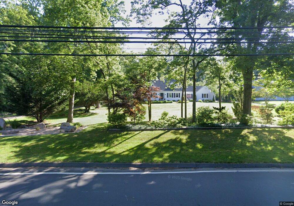
246 Damascus Rd Branford, CT 06405
Estimated Value: $704,838 - $718,000
4
Beds
3
Baths
2,350
Sq Ft
$302/Sq Ft
Est. Value
About This Home
This home is located at 246 Damascus Rd, Branford, CT 06405 and is currently estimated at $710,460, approximately $302 per square foot. 246 Damascus Rd is a home located in New Haven County with nearby schools including Francis Walsh Intermediate School, Branford High School, and St Mary School.
Ownership History
Date
Name
Owned For
Owner Type
Purchase Details
Closed on
Mar 18, 1994
Sold by
Bassetti John A and Bassetti Lucille A
Bought by
Peduzzi Peter N and Peduzzi Linda B
Current Estimated Value
Home Financials for this Owner
Home Financials are based on the most recent Mortgage that was taken out on this home.
Original Mortgage
$220,000
Interest Rate
3%
Create a Home Valuation Report for This Property
The Home Valuation Report is an in-depth analysis detailing your home's value as well as a comparison with similar homes in the area
Home Values in the Area
Average Home Value in this Area
Purchase History
| Date | Buyer | Sale Price | Title Company |
|---|---|---|---|
| Peduzzi Peter N | $40,000 | -- |
Source: Public Records
Mortgage History
| Date | Status | Borrower | Loan Amount |
|---|---|---|---|
| Open | Peduzzi Peter N | $325,000 | |
| Closed | Peduzzi Peter N | $226,000 | |
| Closed | Peduzzi Peter N | $220,000 |
Source: Public Records
Tax History Compared to Growth
Tax History
| Year | Tax Paid | Tax Assessment Tax Assessment Total Assessment is a certain percentage of the fair market value that is determined by local assessors to be the total taxable value of land and additions on the property. | Land | Improvement |
|---|---|---|---|---|
| 2025 | $9,446 | $441,400 | $108,900 | $332,500 |
| 2024 | $9,171 | $300,900 | $91,600 | $209,300 |
| 2023 | $8,994 | $300,900 | $91,600 | $209,300 |
| 2022 | $8,862 | $300,900 | $91,600 | $209,300 |
| 2021 | $8,862 | $300,900 | $91,600 | $209,300 |
| 2020 | $8,702 | $300,900 | $91,600 | $209,300 |
| 2019 | $8,480 | $291,700 | $91,600 | $200,100 |
| 2018 | $8,354 | $291,700 | $91,600 | $200,100 |
| 2017 | $8,305 | $291,700 | $91,600 | $200,100 |
| 2016 | $7,995 | $291,700 | $91,600 | $200,100 |
| 2015 | $7,855 | $291,700 | $91,600 | $200,100 |
| 2014 | $7,806 | $297,500 | $95,200 | $202,300 |
Source: Public Records
Map
Nearby Homes
- 15 Griffing Pond Rd
- 200 Damascus Rd
- 48 Meadow Wood Rd
- 0 Beechwood Rd
- 10 Corbin Cir
- 155 Stony Creek Rd
- 0 Gould Ln
- 21 Featherbed Ln
- 63 Gould Ln
- 175 Pine Orchard Rd
- 525 E Main St Unit 33
- 525 E Main St Unit 23
- 525 E Main St Unit 56
- 525 E Main St Unit 44
- 525 E Main St Unit 8
- 24 River Walk
- 312 Leetes Island Rd
- 86 Pine Orchard Rd
- 8 Gaylea Dr
- 49 Riverside Dr
- 244 Damascus Rd
- 4 Stony Creek Rd
- 242 Damascus Rd
- 245 Damascus Rd
- 239 Damascus Rd
- 1 Totoket Rd
- 14 Stony Creek Rd
- 218 Damascus Rd
- 8 Griffing Pond Rd
- 12 Whiting Farm Rd
- 2 Totoket Rd
- 220 Damascus Rd
- 3 Totoket Rd
- 14 Griffing Pond Rd
- 18 Whiting Farm Rd
- 5 Stony Creek Rd
- 6 Totoket Rd
- 20 Griffing Pond Rd
- 6 Totoket Rd
- 6 Whiting Farm Rd