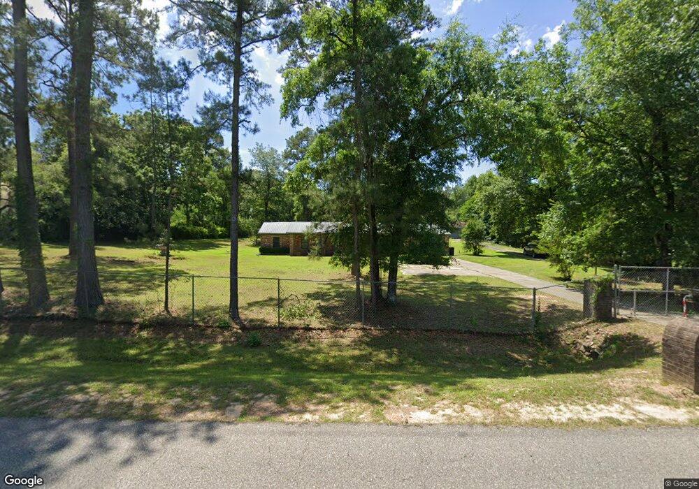
246 Selman Rd Quincy, FL 32351
Estimated Value: $207,000 - $282,000
3
Beds
2
Baths
1,800
Sq Ft
$130/Sq Ft
Est. Value
About This Home
This home is located at 246 Selman Rd, Quincy, FL 32351 and is currently estimated at $233,145, approximately $129 per square foot. 246 Selman Rd is a home located in Gadsden County with nearby schools including Crossroad Academy.
Ownership History
Date
Name
Owned For
Owner Type
Purchase Details
Closed on
Feb 6, 2019
Sold by
Fannie Mae
Bought by
Epstein Martin
Current Estimated Value
Purchase Details
Closed on
Jan 25, 2018
Sold by
Estate Of Johnny L Henry
Bought by
Federal National Mortgage Association
Purchase Details
Closed on
Aug 8, 2008
Sold by
Henry Johnnie S
Bought by
Henry Johnny L
Home Financials for this Owner
Home Financials are based on the most recent Mortgage that was taken out on this home.
Original Mortgage
$258,000
Interest Rate
4.3%
Mortgage Type
New Conventional
Create a Home Valuation Report for This Property
The Home Valuation Report is an in-depth analysis detailing your home's value as well as a comparison with similar homes in the area
Home Values in the Area
Average Home Value in this Area
Purchase History
| Date | Buyer | Sale Price | Title Company |
|---|---|---|---|
| Epstein Martin | $91,000 | Bright Line Title Llc | |
| Federal National Mortgage Association | -- | None Available | |
| Henry Johnny L | -- | Lsi |
Source: Public Records
Mortgage History
| Date | Status | Borrower | Loan Amount |
|---|---|---|---|
| Previous Owner | Henry Johnny L | $258,000 |
Source: Public Records
Tax History Compared to Growth
Tax History
| Year | Tax Paid | Tax Assessment Tax Assessment Total Assessment is a certain percentage of the fair market value that is determined by local assessors to be the total taxable value of land and additions on the property. | Land | Improvement |
|---|---|---|---|---|
| 2024 | $931 | $105,273 | -- | -- |
| 2023 | $893 | $102,207 | $0 | $0 |
| 2022 | $853 | $99,231 | $0 | $0 |
| 2021 | $837 | $96,341 | $0 | $0 |
| 2020 | $817 | $95,011 | $7,500 | $87,511 |
| 2019 | $1,459 | $96,185 | $7,500 | $88,685 |
| 2018 | $1,482 | $96,185 | $0 | $0 |
| 2017 | $770 | $89,668 | $0 | $0 |
| 2016 | $764 | $87,824 | $0 | $0 |
| 2015 | $772 | $87,214 | $0 | $0 |
| 2014 | $765 | $86,522 | $0 | $0 |
Source: Public Records
Map
Nearby Homes
- 1165 Selman Rd
- 00 Blue Star Hwy
- 145 Oak Grove Ln
- 175 Oak Grove Ln
- 350 Oak Grove Ln
- 1215 Selman Rd
- 000 Circle Dr
- 944 Strong Rd
- Peachtree Ln
- 1127 Hill St
- 762 Strong Rd
- XXXX Strong Rd
- 82 Ripp Rd
- 167 Sparkleberry Blvd
- 210 Marshall St
- XX Jetty Ave
- X Jetty Ave
- 332 S Shadow St
- 224 Camellia Dr
- 359 E Jefferson St
- 0 Selman Rd Unit 292240
- 0 Selman Rd Unit 245376
- 0 Selman Rd Unit 254328
- 0 Selman Rd Unit 271121
- 0 Selman Rd Unit 313064
- 274 Selman Rd
- 214 Selman Rd
- 302 Selman Rd
- 338 Selman Rd
- 287 Selman Rd
- 146 Selman Rd
- 146 Selman Rd
- 313 Selman Rd
- 154 Bernice Collins Ln
- 337 Selman Rd
- 23277 Blue Star Hwy
- 427 Holly Cir
- 23301 Blue Star Hwy
- 480 Holly Cir
- 97 Bernice Collins Ln