24610 Coats Rd Maysville, AR 72747
Estimated Value: $462,000 - $718,000
--
Bed
3
Baths
2,310
Sq Ft
$255/Sq Ft
Est. Value
About This Home
This home is located at 24610 Coats Rd, Maysville, AR 72747 and is currently estimated at $590,000, approximately $255 per square foot. 24610 Coats Rd is a home located in Benton County with nearby schools including Glenn Duffy Elementary School, Gravette Upper Elementary School, and Gravette Middle School.
Ownership History
Date
Name
Owned For
Owner Type
Purchase Details
Closed on
Feb 16, 2018
Sold by
Nichols Harold L and Nichols Shirley A
Bought by
Nichols Darcy K
Current Estimated Value
Purchase Details
Closed on
Feb 3, 2005
Sold by
Nichols Harold L and Nichols Shirley A
Bought by
Nichols Harold L and Nichols Shirley A
Purchase Details
Closed on
Apr 29, 1991
Bought by
Nichols
Purchase Details
Closed on
Jun 27, 1990
Bought by
Nichols
Purchase Details
Closed on
Aug 25, 1975
Bought by
Smith
Create a Home Valuation Report for This Property
The Home Valuation Report is an in-depth analysis detailing your home's value as well as a comparison with similar homes in the area
Home Values in the Area
Average Home Value in this Area
Purchase History
| Date | Buyer | Sale Price | Title Company |
|---|---|---|---|
| Nichols Darcy K | -- | None Available | |
| Nichols Harold L | -- | None Available | |
| Nichols | $35,000 | -- | |
| Nichols | $93,000 | -- | |
| Smith | -- | -- |
Source: Public Records
Tax History Compared to Growth
Tax History
| Year | Tax Paid | Tax Assessment Tax Assessment Total Assessment is a certain percentage of the fair market value that is determined by local assessors to be the total taxable value of land and additions on the property. | Land | Improvement |
|---|---|---|---|---|
| 2025 | $1,360 | $29,810 | $143 | $29,667 |
| 2024 | $1,321 | $29,810 | $143 | $29,667 |
| 2023 | $1,321 | $29,810 | $140 | $29,670 |
| 2022 | $1,394 | $29,810 | $140 | $29,670 |
| 2021 | $1,390 | $29,810 | $140 | $29,670 |
| 2020 | $1,429 | $30,540 | $130 | $30,410 |
| 2019 | $1,429 | $30,540 | $130 | $30,410 |
| 2018 | $1,429 | $30,540 | $130 | $30,410 |
| 2017 | $2,603 | $66,610 | $2,410 | $64,200 |
| 2016 | $2,603 | $66,610 | $2,410 | $64,200 |
| 2015 | $3,040 | $68,630 | $1,820 | $66,810 |
| 2014 | $2,692 | $73,100 | $1,820 | $71,280 |
Source: Public Records
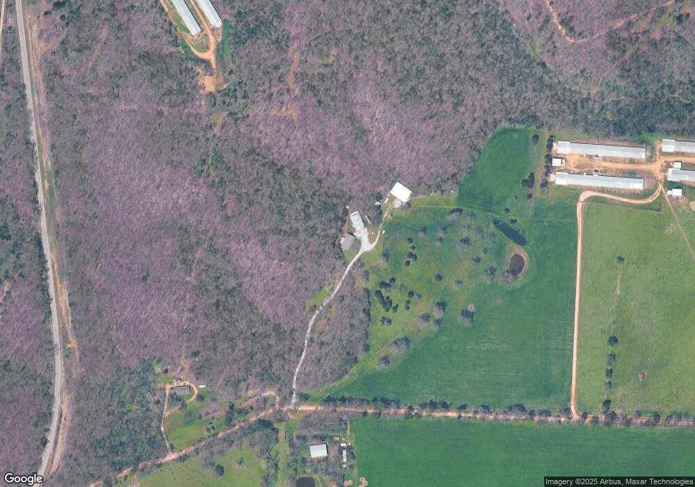
Map
Nearby Homes
- 24530 Coon's Hollow Rd
- 0 W Mountain Rd Unit 1318276
- 24530 & 24540 Coon's Hollow Rd
- 0 Carlton Dr Unit 1312560
- 23775 Carlton Dr
- 24530 & 24540 Coon Hollow Rd
- 10604 Arkansas 43
- 22842 Carlton Dr
- 0 Tucker Rd
- 10918 Blue Bird Rd
- 21897 E 458 Rd
- TBD Georgia Flat Rd
- 40ac Tucker Rd
- . Tucker Rd
- 11228 Benson Rd
- 22083 W Mountain Rd
- 9037 Pine Grove Rd
- 9065 Pine Grove Rd
- 0 Arkansas 43
- 0003 Colcord Rd
- 24640 Coats Rd
- 24631 Coats Rd
- 24684 Coats Rd
- 9250 N Highway 43
- 9250 Ar 43 Hwy
- 24318 Coats Rd
- 8840 N Highway 43
- tbd 43 Hwy
- 24601 Eaton Rd
- 45884 C E 553
- 45884 C R 553
- RR3 Box 66 Kenwood
- Box 232 Rt 5
- 0 Rt 3 Box 82aa
- 0 Rt 3 Box 108
- Box 203 Rr 4
- 9426 Arkansas 43
- 9421 N Highway 43
- 9421 N Hwy 43
- 9425 N Highway 43