248 Brayton Point Rd Westport, MA 02790
Acoaxet NeighborhoodEstimated Value: $2,134,541 - $2,682,000
3
Beds
--
Bath
3,979
Sq Ft
$605/Sq Ft
Est. Value
About This Home
This home is located at 248 Brayton Point Rd, Westport, MA 02790 and is currently estimated at $2,408,271, approximately $605 per square foot. 248 Brayton Point Rd is a home located in Bristol County with nearby schools including Alice A. Macomber Primary School, Westport Elementary School, and Westport Middle-High School.
Ownership History
Date
Name
Owned For
Owner Type
Purchase Details
Closed on
May 21, 2025
Sold by
Schene Carol
Bought by
Carol Schene Ret and Schene
Current Estimated Value
Purchase Details
Closed on
Jun 17, 2022
Sold by
Schene Carol
Bought by
Gekle
Create a Home Valuation Report for This Property
The Home Valuation Report is an in-depth analysis detailing your home's value as well as a comparison with similar homes in the area
Home Values in the Area
Average Home Value in this Area
Purchase History
| Date | Buyer | Sale Price | Title Company |
|---|---|---|---|
| Carol Schene Ret | -- | None Available | |
| Carol Schene Ret | -- | None Available | |
| Carol Schene Ret | -- | None Available | |
| Gekle | -- | None Available | |
| Gekle | -- | None Available |
Source: Public Records
Tax History Compared to Growth
Tax History
| Year | Tax Paid | Tax Assessment Tax Assessment Total Assessment is a certain percentage of the fair market value that is determined by local assessors to be the total taxable value of land and additions on the property. | Land | Improvement |
|---|---|---|---|---|
| 2025 | $13,831 | $1,856,500 | $1,408,100 | $448,400 |
| 2024 | $13,567 | $1,755,100 | $1,316,400 | $438,700 |
| 2023 | $13,512 | $1,655,900 | $1,261,400 | $394,500 |
| 2022 | $13,613 | $1,605,300 | $1,261,400 | $343,900 |
| 2021 | $12,616 | $1,463,600 | $1,147,200 | $316,400 |
| 2020 | $12,001 | $1,423,600 | $1,107,200 | $316,400 |
| 2019 | $11,722 | $1,417,400 | $1,107,200 | $310,200 |
| 2018 | $11,099 | $1,358,500 | $1,022,500 | $336,000 |
| 2017 | $10,642 | $1,335,200 | $1,008,100 | $327,100 |
| 2016 | $10,467 | $1,323,300 | $1,008,100 | $315,200 |
| 2015 | $10,108 | $1,274,700 | $1,008,100 | $266,600 |
Source: Public Records
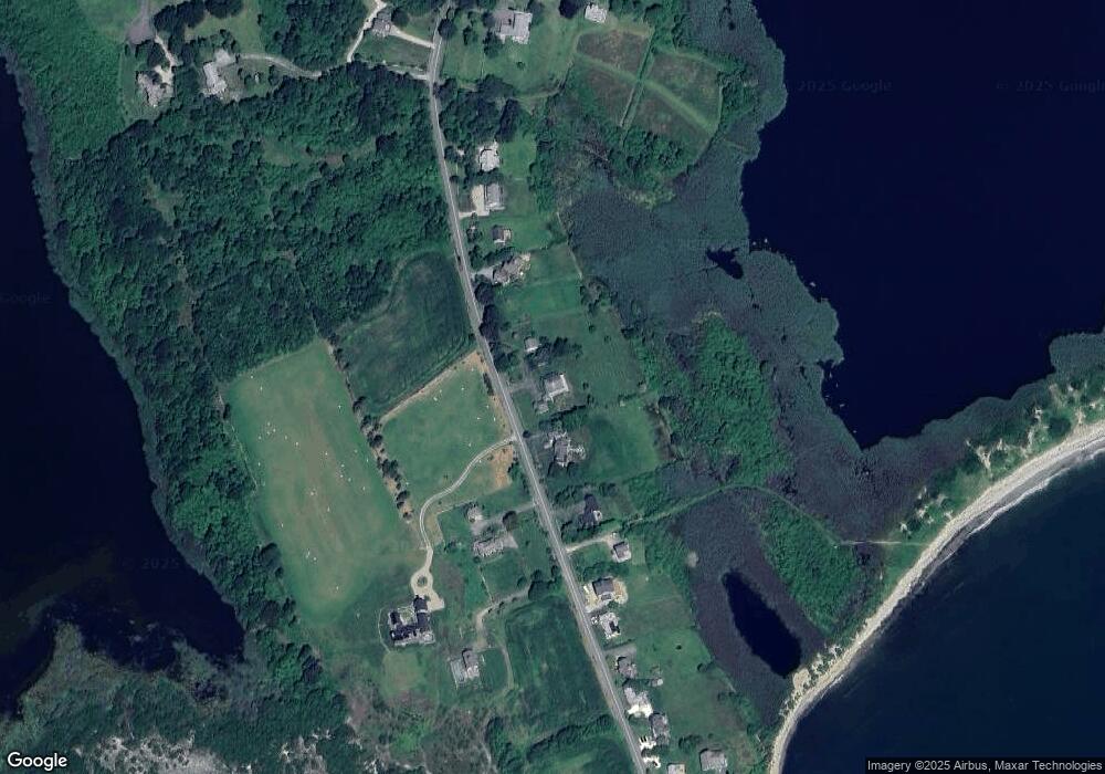
Map
Nearby Homes
- 189 Brayton Point Rd
- 304 Brayton Point Rd
- 19 Seabury Ln
- 18 Old Barn Rd
- 255 John Dyer Rd
- 128 Maple Ave
- 141 S Of Commons Rd
- 505 Long Hwy
- 245 John Dyer Rd
- 1881 Main Rd
- 0 Reed Rd (Ss)
- 0 Willow Ave
- 1580 Main Rd
- 1702J Drift Rd
- 1702 Drift Rd
- 536 W Main Rd
- 116 Amy Hart Path
- 8 Taylors Ln
- 17 Quail Trail
- 1346 Main Rd Unit B
- 209 Brayton Point Rd
- 258 Brayton Point Rd
- 238 Brayton Point Rd
- 270 Brayton Point Rd
- 234 Brayton Point Rd
- 228 Brayton Point Rd
- 272 Brayton Point Rd
- 222 Brayton Point Rd
- 278 Brayton Point Rd
- 192 Brayton Point Rd
- 284 Brayton Point Rd
- 288 Brayton Point Rd
- 263 Brayton Point Rd Unit 273
- 263 Brayton Point Rd
- 263 Brayton Pt Rd
- 292 Brayton Point Rd
- 298 Brayton Point Rd
- 194 Brayton Point Rd
- 302 Brayton Point Rd Unit WINTER
- 302 Brayton Point Rd