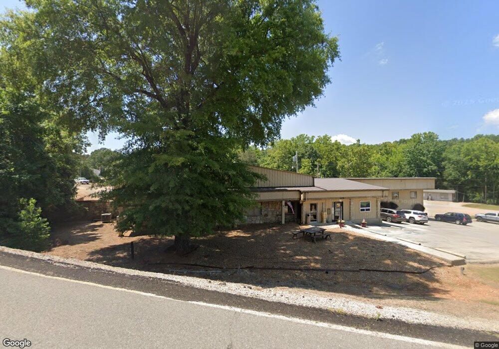
249 Iroquois Dr Cherokee Village, AR 72529
--
Bed
--
Bath
15,778
Sq Ft
9
Acres
About This Home
This home is located at 249 Iroquois Dr, Cherokee Village, AR 72529. 249 Iroquois Dr is a home located in Sharp County with nearby schools including Cherokee Elementary School, Highland Middle School, and Highland High School.
Ownership History
Date
Name
Owned For
Owner Type
Purchase Details
Closed on
Oct 2, 2025
Sold by
Franks Richard L and Franks Sondra L
Bought by
Cherokee Village Coopershares Owners Associat
Purchase Details
Closed on
Aug 22, 2025
Sold by
Nicholson Rex and Nicholson Ruby
Bought by
Nicholson Regan
Purchase Details
Closed on
Aug 18, 2025
Sold by
Olson Arthur L and Olson Deloris F
Bought by
Cherokee Village Coopershares Owners Associat
Purchase Details
Closed on
Aug 6, 2025
Sold by
Wiersema Troy and Wiersema Cinda
Bought by
Cherokee Village Coopershares Owners Associat
Purchase Details
Closed on
Jul 31, 2025
Sold by
Mary S Baldree Revocable Trust and Baldree Mary S
Bought by
Cherokee Village Coopershares Owners Associat
Purchase Details
Closed on
Jul 29, 2025
Sold by
Thornton John and Thornton Judy
Bought by
Cherokee Village Coopershares Owners Associat
Purchase Details
Closed on
Jul 22, 2025
Sold by
Sampietro John A and Sampietro Gerrie A
Bought by
Cherokee Village Coopershares Owners Associat
Purchase Details
Closed on
Jul 19, 2025
Sold by
Campbell Jerry R and Campbell Elizabeth J
Bought by
Cherokee Village Coopershares Owners Associat
Purchase Details
Closed on
Jul 16, 2025
Sold by
Nott Anne L and Nott David
Bought by
Cherokee Village Coopershares Owners Associat
Purchase Details
Closed on
Jul 11, 2025
Sold by
Sandra Richard E and Sandra Mawhinnie
Bought by
Cherokee Village Coopershares Owners Associat
Purchase Details
Closed on
Jan 20, 2023
Sold by
Fnbc Bank
Bought by
South Fork River Land Llc
Purchase Details
Closed on
Aug 30, 2021
Sold by
Commissioner Of State Lands
Bought by
Cvsid Cvsid Foreclosure American Land Co Llc
Purchase Details
Closed on
Feb 12, 2021
Sold by
Ozark Acres Roads & Streets Recreation
Bought by
American Land Company Llc
Purchase Details
Closed on
Mar 29, 2013
Sold by
International Settlement Group Llc
Bought by
Guess Leslie and Guess Jay
Create a Home Valuation Report for This Property
The Home Valuation Report is an in-depth analysis detailing your home's value as well as a comparison with similar homes in the area
Home Values in the Area
Average Home Value in this Area
Purchase History
| Date | Buyer | Sale Price | Title Company |
|---|---|---|---|
| Cherokee Village Coopershares Owners Associat | -- | Homestead Title | |
| Nicholson Regan | -- | None Listed On Document | |
| Cherokee Village Coopershares Owners Associat | -- | Homestead Title | |
| Cherokee Village Coopershares Owners Associat | -- | Homestead Title | |
| Cherokee Village Coopershares Owners Associat | -- | Homestead Title | |
| Cherokee Village Coopershares Owners Associat | -- | Homestead Title & Closing | |
| Cherokee Village Coopershares Owners Associat | -- | Homestead Title & Closing | |
| Cherokee Village Coopershares Owners Associat | -- | Homestead Title | |
| Cherokee Village Coopershares Owners Associat | -- | Homestead Title | |
| Cherokee Village Coopershares Owners Associat | -- | Homestead Title | |
| Cherokee Village Coopershares Owners Associat | -- | Homestead Title | |
| Cherokee Village Coopershares Owners Associat | -- | None Listed On Document | |
| Cherokee Village Coopershares Owners Associat | -- | Homestead Title | |
| Cherokee Village Coopershares Owners Associat | -- | Homestead Title | |
| South Fork River Land Llc | $254,491 | -- | |
| South Fork River Land Llc | $254,491 | None Listed On Document | |
| Cvsid Cvsid Foreclosure American Land Co Llc | $131 | None Listed On Document | |
| American Land Company Llc | $1,337 | None Available | |
| Guess Leslie | $400 | None Available |
Source: Public Records
Tax History Compared to Growth
Tax History
| Year | Tax Paid | Tax Assessment Tax Assessment Total Assessment is a certain percentage of the fair market value that is determined by local assessors to be the total taxable value of land and additions on the property. | Land | Improvement |
|---|---|---|---|---|
| 2025 | $5,370 | $133,060 | $8,050 | $125,010 |
| 2024 | $4,882 | $133,060 | $8,050 | $125,010 |
| 2023 | $4,475 | $133,060 | $8,050 | $125,010 |
| 2022 | $4,409 | $99,580 | $7,050 | $92,530 |
| 2021 | $4,409 | $99,580 | $7,050 | $92,530 |
| 2020 | $4,447 | $99,580 | $7,050 | $92,530 |
| 2019 | $4,339 | $96,940 | $5,200 | $91,740 |
| 2018 | $4,339 | $96,940 | $5,200 | $91,740 |
| 2017 | $4,577 | $120,920 | $10,240 | $110,680 |
| 2016 | $6,047 | $120,920 | $10,240 | $110,680 |
| 2015 | -- | $120,920 | $10,240 | $110,680 |
| 2014 | -- | $112,520 | $7,910 | $104,610 |
| 2013 | -- | $112,520 | $7,910 | $104,610 |
Source: Public Records
Map
Nearby Homes
- 16 Annette Rd
- 12 Annette Rd
- 8 Annette Rd
- 6 Annette Rd
- 7 Annette Rd
- 29 W Lakeshore Dr
- 45 W Lakeshore Dr
- 11 Whispering Winds Trace
- 3 Akokisa Dr
- 7 Owego Cir
- 28 Skyline Dr
- L-17, B-2 W Lakeshore Dr
- 0 W Lakeshore Dr Unit 25010979
- 4 Tenkiller Trail
- 99 E Lakeshore Dr
- 8 Spring River Ln
- 10 Spring River Ln
- L-6, B-4 Tomahawk Dr
- 20 Tenkiller Ln
- 78 Altakima Cir