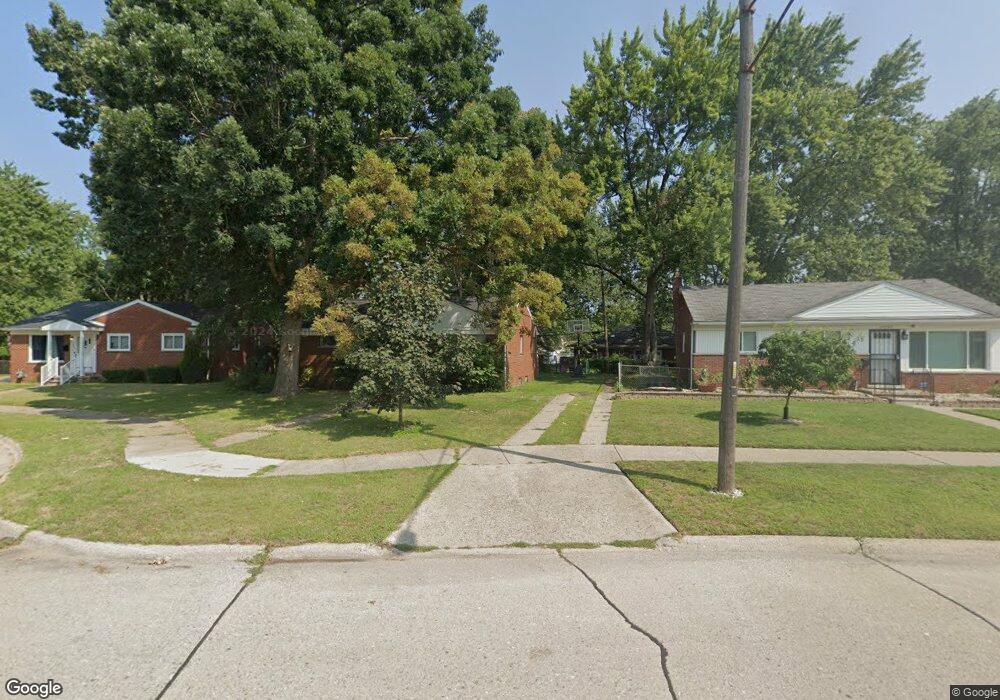
24940 Powers Ave Dearborn Heights, MI 48125
Estimated Value: $133,000 - $173,000
--
Bed
1
Bath
1,020
Sq Ft
$149/Sq Ft
Est. Value
About This Home
This home is located at 24940 Powers Ave, Dearborn Heights, MI 48125 and is currently estimated at $151,505, approximately $148 per square foot. 24940 Powers Ave is a home located in Wayne County with nearby schools including West Village Academy and Quest Charter Academy.
Ownership History
Date
Name
Owned For
Owner Type
Purchase Details
Closed on
Mar 2, 2018
Sold by
Guill Claude F and Stanfield Michelle
Bought by
Canfield Robert
Current Estimated Value
Home Financials for this Owner
Home Financials are based on the most recent Mortgage that was taken out on this home.
Original Mortgage
$52,250
Outstanding Balance
$44,774
Interest Rate
4.38%
Mortgage Type
New Conventional
Estimated Equity
$106,731
Purchase Details
Closed on
Mar 10, 2003
Sold by
Guill Thomas Arnold
Bought by
Guill Thomas Arnold
Create a Home Valuation Report for This Property
The Home Valuation Report is an in-depth analysis detailing your home's value as well as a comparison with similar homes in the area
Home Values in the Area
Average Home Value in this Area
Purchase History
| Date | Buyer | Sale Price | Title Company |
|---|---|---|---|
| Canfield Robert | $55,000 | Hometown One Title Agency Ll | |
| Guill Thomas Arnold | -- | Michigan Title Insurance Age |
Source: Public Records
Mortgage History
| Date | Status | Borrower | Loan Amount |
|---|---|---|---|
| Open | Canfield Robert | $52,250 |
Source: Public Records
Tax History Compared to Growth
Tax History
| Year | Tax Paid | Tax Assessment Tax Assessment Total Assessment is a certain percentage of the fair market value that is determined by local assessors to be the total taxable value of land and additions on the property. | Land | Improvement |
|---|---|---|---|---|
| 2025 | $1,400 | $77,300 | $0 | $0 |
| 2024 | $1,400 | $69,800 | $0 | $0 |
| 2023 | $1,257 | $60,500 | $0 | $0 |
| 2022 | $1,705 | $52,100 | $0 | $0 |
| 2021 | $1,707 | $45,000 | $0 | $0 |
| 2019 | $1,556 | $36,000 | $0 | $0 |
| 2018 | $1,052 | $31,400 | $0 | $0 |
| 2017 | $825 | $31,300 | $0 | $0 |
| 2016 | $3,227 | $31,700 | $0 | $0 |
| 2015 | $2,950 | $29,500 | $0 | $0 |
| 2013 | $3,070 | $31,300 | $0 | $0 |
| 2010 | -- | $38,100 | $0 | $0 |
Source: Public Records
Map
Nearby Homes
- 4856 Carolee Ln
- 5118 Michael St
- 24754 Annapolis St
- 24727 Hopkins St
- 24443 Powers Ave
- 25474 McDonald St
- 25243 Lehigh St
- 24360 Pennie St
- 25118 Lehigh St
- 25212 Lehigh St
- 24339 Eton Ave
- 25628 Powers Ave
- 4147 Westlake St
- 24635 Stanford St
- 25085 Colgate St
- 24426 Lehigh St
- 5963 Vivian St
- 24117 Eton Ave
- 24409 Stanford St
- 6020 Vivian St
- 24932 Powers Ave
- 24948 Powers Ave
- 24924 Powers Ave
- 24956 Powers Ave
- 25003 Pennie St
- 24951 Powers Ave
- 24964 Powers Ave
- 24931 Powers Ave
- 24916 Powers Ave
- 25057 Pennie St
- 24972 Powers Ave
- 24915 Powers Ave
- 24923 Powers Ave
- 24811 Pennie St
- 5313 Cherokee St
- 25047 Pennie St
- 24980 Powers Ave
- 5321 Cherokee St
- 24903 Powers Ave
- 5301 Cherokee St