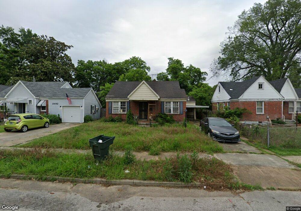
2496 Malone Ave Memphis, TN 38114
Southeast Memphis NeighborhoodEstimated Value: $34,000 - $98,000
3
Beds
1
Bath
1,536
Sq Ft
$48/Sq Ft
Est. Value
About This Home
This home is located at 2496 Malone Ave, Memphis, TN 38114 and is currently estimated at $74,333, approximately $48 per square foot. 2496 Malone Ave is a home located in Shelby County with nearby schools including Bethel Grove Elementary School, Sherwood Middle, and Melrose High School.
Ownership History
Date
Name
Owned For
Owner Type
Purchase Details
Closed on
May 14, 2025
Sold by
Bibbs Shelby and Jones Belinda
Bought by
Rental General 1 Llc
Current Estimated Value
Home Financials for this Owner
Home Financials are based on the most recent Mortgage that was taken out on this home.
Original Mortgage
$148,500
Outstanding Balance
$100,119
Interest Rate
6.83%
Mortgage Type
Construction
Estimated Equity
-$25,786
Purchase Details
Closed on
Mar 15, 2004
Sold by
Jackson Dorothy J Fields
Bought by
Patterson Carla and Bibbs Shelby
Create a Home Valuation Report for This Property
The Home Valuation Report is an in-depth analysis detailing your home's value as well as a comparison with similar homes in the area
Home Values in the Area
Average Home Value in this Area
Purchase History
| Date | Buyer | Sale Price | Title Company |
|---|---|---|---|
| Rental General 1 Llc | $35,000 | Saddle Creek Title | |
| Patterson Carla | -- | -- |
Source: Public Records
Mortgage History
| Date | Status | Borrower | Loan Amount |
|---|---|---|---|
| Open | Rental General 1 Llc | $148,500 |
Source: Public Records
Tax History Compared to Growth
Tax History
| Year | Tax Paid | Tax Assessment Tax Assessment Total Assessment is a certain percentage of the fair market value that is determined by local assessors to be the total taxable value of land and additions on the property. | Land | Improvement |
|---|---|---|---|---|
| 2025 | $510 | $19,850 | $2,450 | $17,400 |
| 2024 | $510 | $15,050 | $1,125 | $13,925 |
| 2023 | $917 | $15,050 | $1,125 | $13,925 |
| 2022 | $917 | $15,050 | $1,125 | $13,925 |
| 2021 | $928 | $15,050 | $1,125 | $13,925 |
| 2020 | $754 | $10,400 | $1,125 | $9,275 |
| 2019 | $754 | $10,400 | $1,125 | $9,275 |
| 2018 | $754 | $10,400 | $1,125 | $9,275 |
| 2017 | $427 | $10,400 | $1,125 | $9,275 |
| 2016 | $462 | $10,575 | $0 | $0 |
| 2014 | $462 | $10,575 | $0 | $0 |
Source: Public Records
Map
Nearby Homes
- 1609 Hugenot St
- 2421 Arlington Ave
- 2607 Barron Ave
- 2383 Lowell Ave
- 1499 Hamilton St
- 2426 Lamar Cir
- 2637 Arlington Ave
- 1495 Dallas St
- 1059 S Willett St S
- 2481 Kimball Ave
- 1270 Marechalneil St
- 2400 Kimball Ave
- 2646 Deadrick Ave
- 1240 Ethel St
- 1720 Airways Blvd
- 1239 Ethel St
- 1218 Ethel St
- 1580 Marianna St
- 2763 Fizer Rd
- 2481 Browning Ave
- 2492 Malone Ave
- 2500 Malone Ave
- 2488 Malone Ave
- 2504 Malone Ave
- 2484 Malone Ave
- 2508 Malone Ave
- 2511 Lamar Ave
- 2480 Malone Ave
- 2514 Malone Ave
- 2491 Malone Ave
- 2487 Malone Ave
- 2495 Malone Ave
- 2483 Malone Ave
- 2499 Malone Ave
- 2474 Malone Ave
- 2477 Malone Ave
- 2518 Malone Ave
- 2495 Lamar Ave
- 2503 Malone Ave
- 2473 Malone Ave