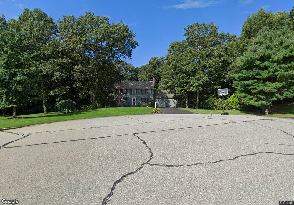
25 Abner Belcher Rd Wrentham, MA 02093
Estimated Value: $729,000 - $917,000
4
Beds
3
Baths
2,011
Sq Ft
$393/Sq Ft
Est. Value
About This Home
This home is located at 25 Abner Belcher Rd, Wrentham, MA 02093 and is currently estimated at $789,601, approximately $392 per square foot. 25 Abner Belcher Rd is a home located in Norfolk County with nearby schools including Delaney Elementary School, Charles E Roderick, and Mercymount Country Day School.
Ownership History
Date
Name
Owned For
Owner Type
Purchase Details
Closed on
Feb 12, 1993
Sold by
Pericolo Constr Inc
Bought by
Curry Donna A
Current Estimated Value
Home Financials for this Owner
Home Financials are based on the most recent Mortgage that was taken out on this home.
Original Mortgage
$164,000
Interest Rate
8.13%
Mortgage Type
Purchase Money Mortgage
Create a Home Valuation Report for This Property
The Home Valuation Report is an in-depth analysis detailing your home's value as well as a comparison with similar homes in the area
Home Values in the Area
Average Home Value in this Area
Purchase History
| Date | Buyer | Sale Price | Title Company |
|---|---|---|---|
| Curry Donna A | $205,000 | -- |
Source: Public Records
Mortgage History
| Date | Status | Borrower | Loan Amount |
|---|---|---|---|
| Closed | Curry Donna A | $164,000 |
Source: Public Records
Tax History Compared to Growth
Tax History
| Year | Tax Paid | Tax Assessment Tax Assessment Total Assessment is a certain percentage of the fair market value that is determined by local assessors to be the total taxable value of land and additions on the property. | Land | Improvement |
|---|---|---|---|---|
| 2025 | $7,624 | $657,800 | $302,100 | $355,700 |
| 2024 | $7,345 | $612,100 | $302,100 | $310,000 |
| 2023 | $7,142 | $565,900 | $274,500 | $291,400 |
| 2022 | $6,862 | $502,000 | $256,000 | $246,000 |
| 2021 | $6,332 | $450,000 | $223,400 | $226,600 |
| 2020 | $6,247 | $438,400 | $198,600 | $239,800 |
| 2019 | $6,038 | $427,600 | $198,600 | $229,000 |
| 2018 | $6,358 | $446,500 | $198,900 | $247,600 |
| 2017 | $6,230 | $437,200 | $195,000 | $242,200 |
| 2016 | $6,098 | $427,000 | $189,400 | $237,600 |
| 2015 | $6,125 | $408,900 | $182,100 | $226,800 |
| 2014 | $6,023 | $393,400 | $175,100 | $218,300 |
Source: Public Records
Map
Nearby Homes
- 791 South St Unit 5
- Lot 1 - Blueberry 2 Car Plan at King Philip Estates
- Lot 8 - Blueberry 2 Car Plan at King Philip Estates
- Lot 5 - Hughes 2 car Plan at King Philip Estates
- Lot 6 - Blueberry 3 Car Plan at King Philip Estates
- Lot 2 - Camden 2 Car Plan at King Philip Estates
- Lot 7 - Cedar Plan at King Philip Estates
- Lot 4 - Hemingway 2 Car Plan at King Philip Estates
- Lot 3 - Blueberry 2 Car Plan at King Philip Estates
- 50 Green St
- Lot 3 - 14 Earle Stewart Ln
- 440 Chestnut St
- 11 Earle Stewart Ln
- 80 Carriage House Ln
- 1204 South St
- 1222 South St
- 131 Creek St Unit 7
- 955 Summer St
- 319 Taunton St
- 4 Munroe Dr
- 40 Abner Belcher Rd
- 78 Oxbow Dr
- 30 Abner Belcher Rd
- 15 Abner Belcher Rd
- 70 Oxbow Dr
- 40 Oxbow Dr
- 11 Cranberry Ln
- 45 Roger Goodwin Dr
- 50 Oxbow Dr
- 20 Abner Belcher Rd
- 160 West St
- 80 Oxbow Dr
- 77 Oxbow Dr
- 75 Oxbow Dr
- 5 Abner Belcher Rd
- 180 West St
- 35 Roger Goodwin Dr
- 40 Roger Goodwin Dr
- 8 Cranberry Ln
- 65 Oxbow Dr