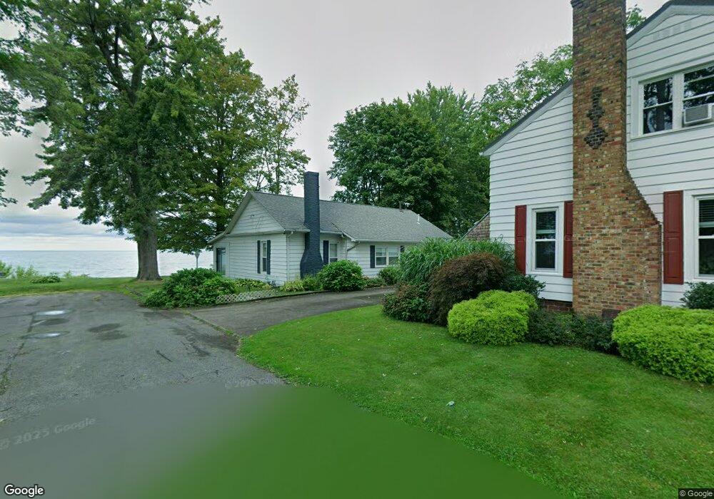
25 B Dr Conneaut, OH 44030
Estimated Value: $193,198 - $221,000
2
Beds
1
Bath
1,164
Sq Ft
$179/Sq Ft
Est. Value
About This Home
This home is located at 25 B Dr, Conneaut, OH 44030 and is currently estimated at $208,800, approximately $179 per square foot. 25 B Dr is a home located in Ashtabula County with nearby schools including Lakeshore Primary Elementary School, Gateway Elementary School, and Conneaut Middle School.
Ownership History
Date
Name
Owned For
Owner Type
Purchase Details
Closed on
Apr 23, 2007
Sold by
Young Nan and Young Craig
Bought by
Sobeck Carl W and Sobeck Daria J
Current Estimated Value
Purchase Details
Closed on
Aug 22, 2006
Sold by
Hazen Shirl J and Hazen Shirley J
Bought by
Young Nan and Young Nanette
Purchase Details
Closed on
Aug 14, 1995
Sold by
Fox Elizabeth A
Bought by
Hazen Carl R and Hazen Shirl J
Home Financials for this Owner
Home Financials are based on the most recent Mortgage that was taken out on this home.
Original Mortgage
$52,000
Interest Rate
7.51%
Mortgage Type
New Conventional
Create a Home Valuation Report for This Property
The Home Valuation Report is an in-depth analysis detailing your home's value as well as a comparison with similar homes in the area
Home Values in the Area
Average Home Value in this Area
Purchase History
| Date | Buyer | Sale Price | Title Company |
|---|---|---|---|
| Sobeck Carl W | $175,000 | Buckeye Title | |
| Young Nan | -- | None Available | |
| Hazen Carl R | $65,000 | -- |
Source: Public Records
Mortgage History
| Date | Status | Borrower | Loan Amount |
|---|---|---|---|
| Previous Owner | Hazen Carl R | $52,000 |
Source: Public Records
Tax History Compared to Growth
Tax History
| Year | Tax Paid | Tax Assessment Tax Assessment Total Assessment is a certain percentage of the fair market value that is determined by local assessors to be the total taxable value of land and additions on the property. | Land | Improvement |
|---|---|---|---|---|
| 2024 | $4,340 | $59,330 | $19,080 | $40,250 |
| 2023 | $2,750 | $59,330 | $19,080 | $40,250 |
| 2022 | $2,343 | $44,490 | $14,670 | $29,820 |
| 2021 | $2,384 | $44,490 | $14,670 | $29,820 |
| 2020 | $2,383 | $44,490 | $14,670 | $29,820 |
| 2019 | $2,462 | $45,160 | $17,680 | $27,480 |
| 2018 | $2,347 | $45,160 | $17,680 | $27,480 |
| 2017 | $2,076 | $45,160 | $17,680 | $27,480 |
| 2016 | $1,791 | $37,560 | $14,700 | $22,860 |
| 2015 | $1,809 | $37,560 | $14,700 | $22,860 |
| 2014 | $1,594 | $37,560 | $14,700 | $22,860 |
| 2013 | $1,435 | $34,790 | $12,810 | $21,980 |
Source: Public Records
Map
Nearby Homes
- 716 Chestnut St
- 859 Sandusky St
- 0 Chestnut St Unit 5120761
- 973 Buffalo St
- 1036 Golfview Dr
- 770 Buffalo St
- 644 Mill St
- 405 Bliss Ave
- 474 Sherman St
- 533 Mill St
- 536 Mill St
- 1025 Harbor St Unit 35
- 429 Depot St
- 169 River St
- 459 Mill St
- 427 Harbor St
- 408 Broad State Rd 7 St
- 413 Harbor St
- 536 Madison St
- 179 Hayward Ave