25 Kings Landing Way Hanson, MA 02341
Estimated Value: $672,000 - $894,000
4
Beds
4
Baths
2,813
Sq Ft
$282/Sq Ft
Est. Value
About This Home
This home is located at 25 Kings Landing Way, Hanson, MA 02341 and is currently estimated at $793,248, approximately $281 per square foot. 25 Kings Landing Way is a home located in Plymouth County.
Ownership History
Date
Name
Owned For
Owner Type
Purchase Details
Closed on
Jun 27, 2002
Sold by
Evans John T and Evans Kristin L
Bought by
Marshall Robert T and Marshall Nancy B
Current Estimated Value
Home Financials for this Owner
Home Financials are based on the most recent Mortgage that was taken out on this home.
Original Mortgage
$272,000
Outstanding Balance
$117,022
Interest Rate
6.92%
Mortgage Type
Purchase Money Mortgage
Estimated Equity
$676,226
Purchase Details
Closed on
Oct 29, 1998
Sold by
Oneill Deborah S
Bought by
Evans John T and Evans Kritin L
Create a Home Valuation Report for This Property
The Home Valuation Report is an in-depth analysis detailing your home's value as well as a comparison with similar homes in the area
Home Values in the Area
Average Home Value in this Area
Purchase History
| Date | Buyer | Sale Price | Title Company |
|---|---|---|---|
| Marshall Robert T | $340,000 | -- | |
| Evans John T | $214,000 | -- |
Source: Public Records
Mortgage History
| Date | Status | Borrower | Loan Amount |
|---|---|---|---|
| Open | Evans John T | $272,000 | |
| Previous Owner | Evans John T | $244,000 | |
| Previous Owner | Evans John T | $244,000 |
Source: Public Records
Tax History Compared to Growth
Tax History
| Year | Tax Paid | Tax Assessment Tax Assessment Total Assessment is a certain percentage of the fair market value that is determined by local assessors to be the total taxable value of land and additions on the property. | Land | Improvement |
|---|---|---|---|---|
| 2025 | $10,091 | $754,200 | $190,100 | $564,100 |
| 2024 | $9,801 | $732,500 | $184,600 | $547,900 |
| 2023 | $9,468 | $667,700 | $184,600 | $483,100 |
| 2022 | $9,246 | $612,700 | $167,800 | $444,900 |
| 2021 | $8,408 | $556,800 | $161,300 | $395,500 |
| 2020 | $8,287 | $542,700 | $155,900 | $386,800 |
| 2019 | $8,385 | $539,900 | $167,400 | $372,500 |
| 2018 | $8,289 | $523,600 | $161,000 | $362,600 |
| 2017 | $8,086 | $506,000 | $153,300 | $352,700 |
| 2016 | $8,037 | $485,600 | $153,300 | $332,300 |
| 2015 | $7,589 | $476,700 | $153,300 | $323,400 |
Source: Public Records
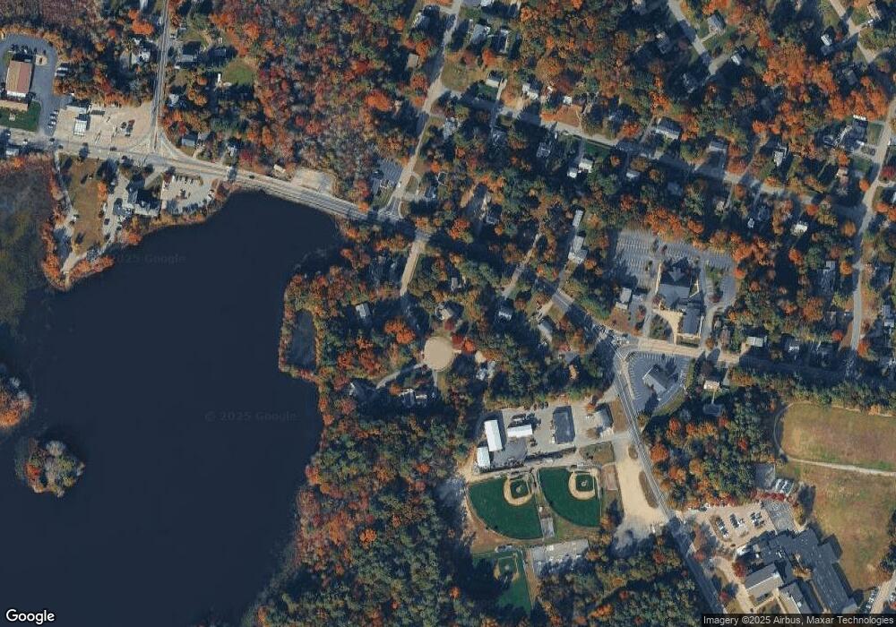
Map
Nearby Homes
- Lot 2 Harvard Rd
- Lot 6 Way
- 134 Crescent St
- 456 Gorwin Dr
- 456 Maquan St
- 269 Lakeside Rd
- 37 Brook St
- 57 Liberty St
- Lot 5 Princeton Way
- 248 E Washington St
- 418 E Washington St
- 255 Holmes St
- 33 Tavern Way
- 168 Spring St
- 842 E Washington St
- 80 Phillips St
- 479 Main St
- 72 Phillips St
- 1054 Main St
- 22 Pondview Ave
- 7 Kings Landing Way
- 680 Liberty St
- 45 Kings Landing Way
- 72 Kings Landing Way
- 686 Liberty St
- 10 Kings Landing Way
- 659 Liberty St
- 32 Kings Landing Way
- 54 Kings Landing Way
- 671 Liberty St
- 10 Gorwin Dr
- 825 Indian Head St
- 691 Liberty St
- 7 Gorwin Dr
- 20 Jerrold St
- 28 Jerrold St
- 22 Gorwin Dr
- 42 Jerrold St
- 56 Jerrold St
- 23 Gorwin Dr