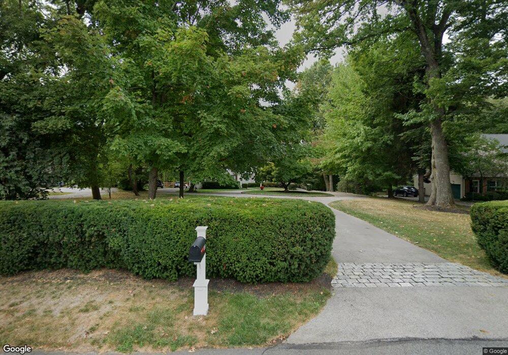
250 Ashwood Rd Villanova, PA 19085
Estimated Value: $1,670,000 - $2,267,000
4
Beds
4
Baths
4,773
Sq Ft
$431/Sq Ft
Est. Value
About This Home
This home is located at 250 Ashwood Rd, Villanova, PA 19085 and is currently estimated at $2,056,022, approximately $430 per square foot. 250 Ashwood Rd is a home located in Delaware County with nearby schools including Radnor El School, Radnor Middle School, and Radnor Senior High School.
Ownership History
Date
Name
Owned For
Owner Type
Purchase Details
Closed on
Jan 15, 2001
Sold by
Sparango Benedict and Sparango Susan
Bought by
Neff Paul E and Neff Kathleen M
Current Estimated Value
Home Financials for this Owner
Home Financials are based on the most recent Mortgage that was taken out on this home.
Original Mortgage
$195,000
Outstanding Balance
$71,844
Interest Rate
7.52%
Estimated Equity
$1,984,178
Purchase Details
Closed on
Feb 28, 1997
Sold by
Belber Henry S
Bought by
Sparango Benedict and Sparango Susan
Home Financials for this Owner
Home Financials are based on the most recent Mortgage that was taken out on this home.
Original Mortgage
$500,000
Interest Rate
7.77%
Create a Home Valuation Report for This Property
The Home Valuation Report is an in-depth analysis detailing your home's value as well as a comparison with similar homes in the area
Home Values in the Area
Average Home Value in this Area
Purchase History
| Date | Buyer | Sale Price | Title Company |
|---|---|---|---|
| Neff Paul E | $812,500 | Commonwealth Land Title Ins | |
| Sparango Benedict | $172,500 | -- |
Source: Public Records
Mortgage History
| Date | Status | Borrower | Loan Amount |
|---|---|---|---|
| Open | Neff Paul E | $195,000 | |
| Previous Owner | Sparango Benedict | $500,000 |
Source: Public Records
Tax History Compared to Growth
Tax History
| Year | Tax Paid | Tax Assessment Tax Assessment Total Assessment is a certain percentage of the fair market value that is determined by local assessors to be the total taxable value of land and additions on the property. | Land | Improvement |
|---|---|---|---|---|
| 2025 | $22,970 | $1,136,090 | $238,670 | $897,420 |
| 2024 | $22,970 | $1,136,090 | $238,670 | $897,420 |
| 2023 | $22,059 | $1,136,090 | $238,670 | $897,420 |
| 2022 | $21,819 | $1,136,090 | $238,670 | $897,420 |
| 2021 | $35,047 | $1,136,090 | $238,670 | $897,420 |
| 2020 | $20,028 | $575,740 | $119,320 | $456,420 |
| 2019 | $19,463 | $575,740 | $119,320 | $456,420 |
| 2018 | $19,082 | $575,740 | $0 | $0 |
| 2017 | $18,682 | $575,740 | $0 | $0 |
| 2016 | $3,160 | $575,740 | $0 | $0 |
| 2015 | $3,224 | $575,740 | $0 | $0 |
| 2014 | $3,224 | $575,740 | $0 | $0 |
Source: Public Records
Map
Nearby Homes
- 101 Highfield Rd
- 12 Lockwood Ln
- 309 Saybrook Rd
- 15 Lockwood Ln
- 200 S Ithan Ave
- 3 Lockwood Ln
- 407 Clairemont Rd
- 253 Ithan Creek Rd
- 7 Lockwood Ln
- 4 Lockwood Ln
- 219 S Ithan Ave
- 105 Privet Ln
- 131 Fairfax Rd
- 100 Radnor Ave
- 1962 Montgomery Ave
- 406 Barclay Rd
- 458 Huston Rd
- 484 King of Prussia Rd
- 625 Conestoga Rd
- 189 Meredith Ave
- 222 Ashwood Rd
- 233 Ashwood Rd
- 226 Ashwood Rd
- 225 Ashwood Rd
- 274 Hilldale Rd
- 217 Ashwood Rd
- 266 Hilldale Rd
- 217 Ashwood Rd
- 317 Hilldale Rd
- 264 Hilldale Rd
- 313 Hilldale Rd
- 230 Ashwood Rd
- 311 Hilldale Rd
- 307 Hilldale Rd
- 260 Hilldale Rd
- 303 Hilldale Rd
- 201 Ashwood Rd
- 256 Hilldale Rd
- 207 Ashwood Rd
- 283 Hilldale Rd