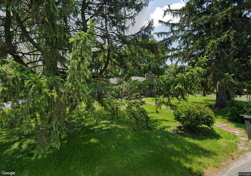
2500 S 11th St Belleville, IL 62226
Estimated Value: $214,481 - $289,000
--
Bed
--
Bath
1,530
Sq Ft
$155/Sq Ft
Est. Value
About This Home
This home is located at 2500 S 11th St, Belleville, IL 62226 and is currently estimated at $237,870, approximately $155 per square foot. 2500 S 11th St is a home located in St. Clair County with nearby schools including Roosevelt Elementary School, Central Jr High School, and Governor French Academy.
Ownership History
Date
Name
Owned For
Owner Type
Purchase Details
Closed on
Apr 20, 2022
Sold by
Wurtz Robert Dale and Wurtz Kim Ann-Utterback
Bought by
Wurtz Robert Dale and Wurtz Robert Dale
Current Estimated Value
Purchase Details
Closed on
Jun 28, 2002
Sold by
Wurtz Robert D and Young Carrie L
Bought by
Wurtz Robert D
Home Financials for this Owner
Home Financials are based on the most recent Mortgage that was taken out on this home.
Original Mortgage
$96,293
Interest Rate
6.93%
Mortgage Type
Purchase Money Mortgage
Create a Home Valuation Report for This Property
The Home Valuation Report is an in-depth analysis detailing your home's value as well as a comparison with similar homes in the area
Home Values in the Area
Average Home Value in this Area
Purchase History
| Date | Buyer | Sale Price | Title Company |
|---|---|---|---|
| Wurtz Robert Dale | -- | None Available | |
| Wurtz Robert D | $125,000 | First American Title Insuran |
Source: Public Records
Mortgage History
| Date | Status | Borrower | Loan Amount |
|---|---|---|---|
| Previous Owner | Wurtz Robert D | $96,293 |
Source: Public Records
Tax History Compared to Growth
Tax History
| Year | Tax Paid | Tax Assessment Tax Assessment Total Assessment is a certain percentage of the fair market value that is determined by local assessors to be the total taxable value of land and additions on the property. | Land | Improvement |
|---|---|---|---|---|
| 2024 | $2,592 | $67,546 | $9,636 | $57,910 |
| 2023 | $2,748 | $52,522 | $9,799 | $42,723 |
| 2022 | $3,221 | $47,834 | $8,924 | $38,910 |
| 2021 | $3,042 | $44,492 | $8,301 | $36,191 |
| 2020 | $3,087 | $53,434 | $7,730 | $45,704 |
| 2019 | $2,510 | $35,668 | $7,887 | $27,781 |
| 2018 | $2,456 | $34,758 | $7,686 | $27,072 |
| 2017 | $2,401 | $33,833 | $7,482 | $26,351 |
| 2016 | $2,406 | $51,263 | $7,224 | $44,039 |
| 2014 | $1,030 | $31,964 | $3,371 | $28,593 |
| 2013 | $2,541 | $31,964 | $3,371 | $28,593 |
Source: Public Records
Map
Nearby Homes
- 6009 Rolling Hills Ln
- 1800 Roosevelt Ave
- 636 S 19th St
- 1801 Roosevelt Ave
- 1374 Rocky Creek Ct
- 1909 Menard Dr
- 1366 Radden Ct
- 1824 Menard Dr
- 421 S 20th St
- 45 Fenwood Dr
- 402 S 21st St
- 318 S 20th St
- 500 S 29th St
- 404 S 16th St
- 207 S 17th St
- 18 S 21st St
- 301 S 15th St
- 2926 Mary Irene St
- 1316 Raab Ave
- 1305 Raab Ave
- 2500 S 11th St
- 2500 S 11th St
- 2500 S 11th St
- 2461 S 11th St
- 2451 S 11th St
- 2580 S 11th St
- 4402 Maple Brook Dr
- 4403 Maple Brook Dr
- 2198 Southern Oak Cir
- 4406 Maple Brook Dr
- 4407 Maple Brook Dr
- 2194 Southern Oak Cir
- 4307 Windsong Ct
- 2140 Autumn Woods Rd
- 2193 Southern Oak Cir
- 4311 Windsong Ct
- 4318 Windsong Ct
- 2190 Southern Oak Cir
- 4407 Maple Oak Dr
- 4315 Windsong Ct